Himalaya Shelter
Explore With Us
Best Trekking Company
Himalaya Shelter
A Group of Himalayas Lovers
Uttarakhand Trekking
Best Himalayan Treks in Garhwal & Kumaon
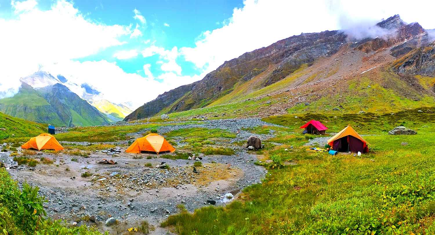
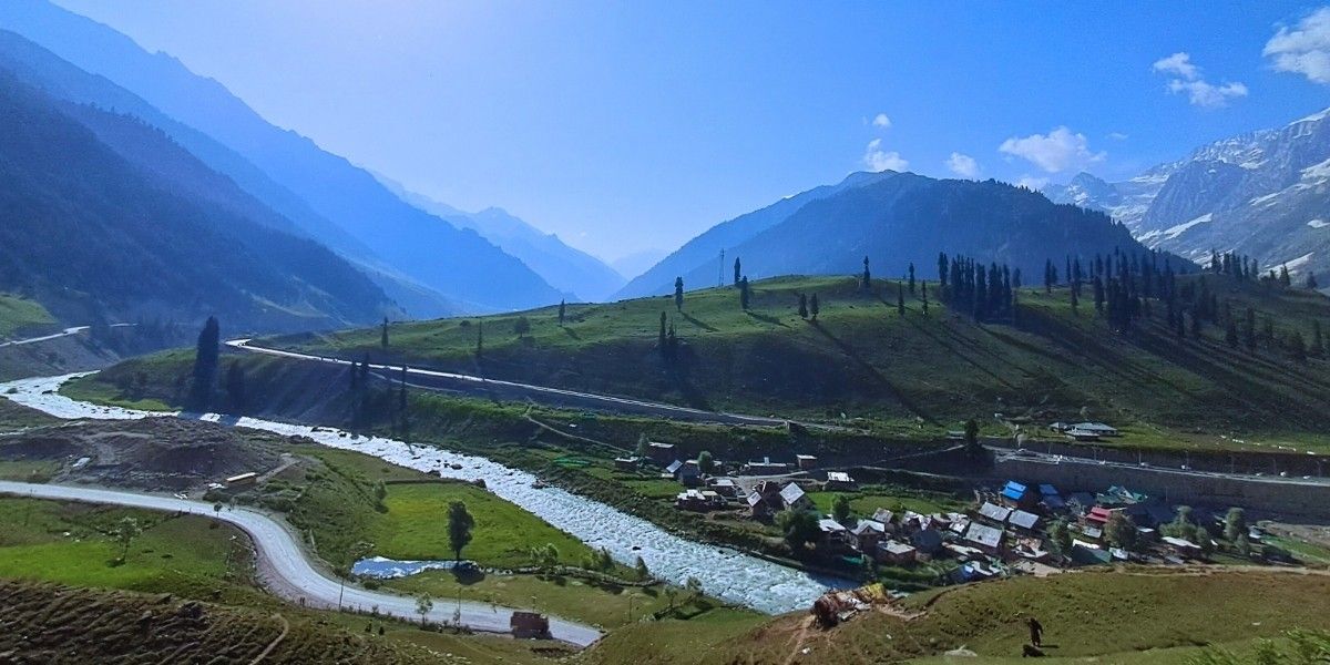
Kashmir Trekking
Great Lakes, Meadows & Offbeat Himalayan Trails
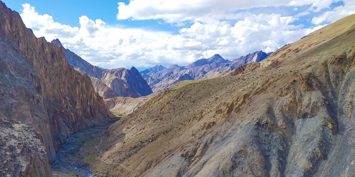
Ladakh Trekking
High Altitude Desert Treks in the Indian Himalayas
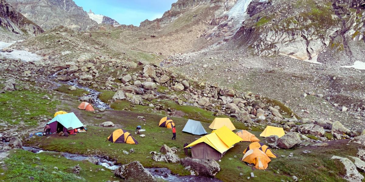
Himachal Trekking
Himalayan Pass Crossings & Camping Trails
Know Who We Are
Founded for the love of the Himalayas
Founded in 2013, at the heart of our existence, is an impeccable service-oriented mindset & respect for the wilderness.
We share the love for the Himalayas at Himalaya Shelter, a love that bonds us to our travellers. It reflects in the feedback and reviews we have received.
Over 24000+ Trekkers served since 2013!
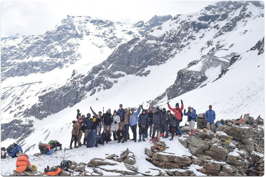
Top Trekking Destinations
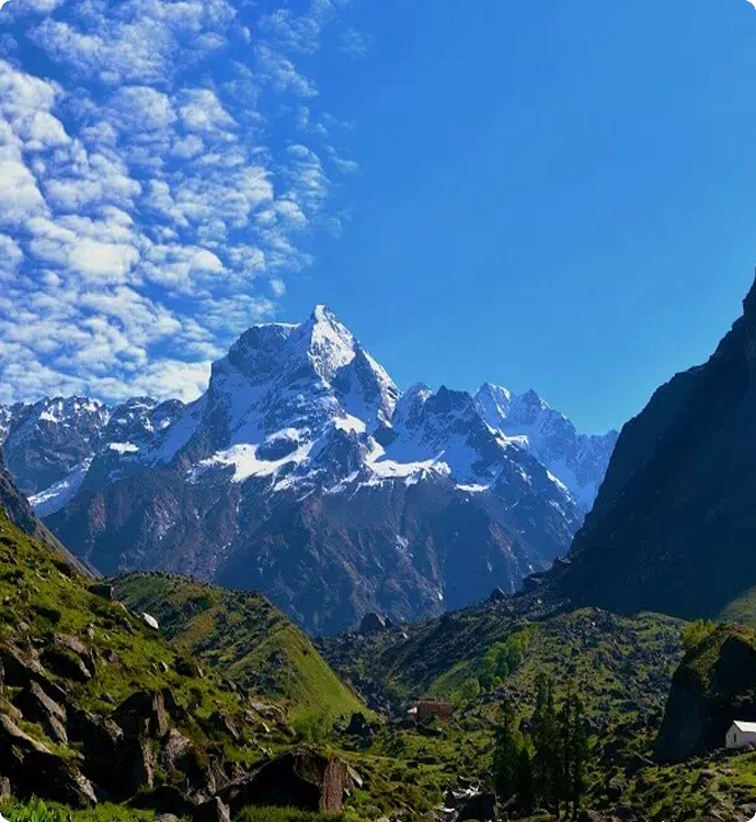
Har Ki Dun
50 KM
Trek over to the Valley of Shiva!
Our Company
Founded by natives to the Himalayas, we strive to excel to offer best outdoors experience possible.
Our Vision
To make Trekking accessible, sustainably & by promoting local development. Local is Sustainable & Authentic! It is with this value that we operate primarily in Uttarakhand!
Our Strengths
Minimal Outsourcing of services to ensure service standards, sustainable practices, trained local team hailing from the Himalayas, & we use superior equipment
Himalaya Shelter Upcoming Treks

Har Ki Dun Trek
7 Days
Uttarakhand | India
31 Km
July to September
₹12500 | $142

Dayara Bugyal Trek
6 Days
Uttarakhand
17 Km
Jan | Feb | Mar | Aprill | May | Jun | Sep | Oct | Nov | Dec
₹11,299 | $125.46

Kuari Pass Trek
6 Days
Uttarakhand
28 Km
March to August and October to March
₹17999 | $206
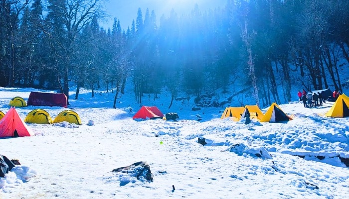
Kedarkantha Trek
5 Days
Uttarakhand
20 Km
December and January
₹7500 | $83

Chopta Chandrashila Trek
3 Days
Uttarakhand
7 Km
April to June and September to November
₹9900 | $114
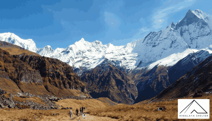
Annapurna Base Camp Trek
9 Days
Nepal
75 Km Approx
March | April | May | September
₹75000 | $846
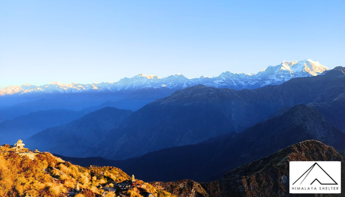
GHT Trek In Uttarakhand For Beginners
19 Days
Uttarakhand | India
110 Km
May to June and September to November
₹On Demand | $On Demand
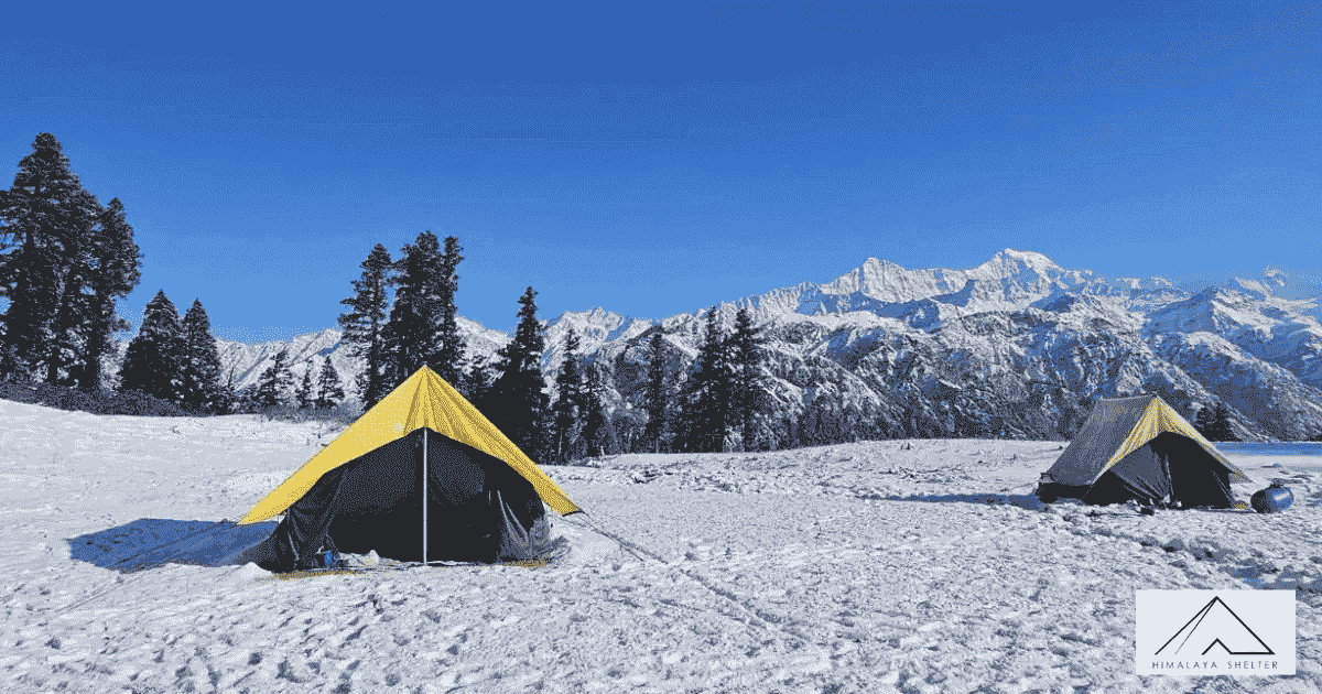
Aancha Top Trek
6 Days
Uttarakhand | India
25 km
September to June
₹11000 | $125
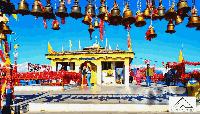
Kartikswami Temple Trek
3 Days
Uttarakhand | India
3 km (One Way)
Jan | Feb | Mar | Aprill | May | Jun | Sep | Oct | Nov | Dec
₹10500 | $119

Everest Base Camp Nepal
15 Days
Nepal
130 KM
March | April | May and October | November
₹85000 | $936

Top Tibba Trek
1 Days
Uttarakhand | India
6-7 Km
All Year
₹1800 | $21

Kunjapuri Temple Trek
1 Days
Uttarakhand | India
12 Km
All Year
₹3500 | $41

Bijli Mahadev Trek Temple
2 Days
Himachal Pradesh | India
26 KM
January to December
₹1900 | $22

Ranthang Kharak Trek
7 Days
Uttarakhand | India
40 Km
April to June and September to November
₹28000 | $320

Dodital Trek
6 Days
Uttarakhand
57 Km
April to June and September to November
₹11500 | $132

Deoriatal Chopta Chandrashila Trek
5 Days
Uttarakhand
27 Km
April to June | September to November
₹11700 | $134

Nag Tibba Trek
2 Days
Uttarakhand
20 Km
All Year
₹4000 | $34

Brahmatal Trek
6 Days
Uttarakhand
24 Km
December to early February
₹11200 | $129

Gulabi Kantha Trek
5 Days
Uttarakhand
30 Km
Apr, May, Jun, Sep, Oct and Nov
₹10500 | $120

Bedni Ali Bugyal Trek
5 Days
Uttarakhand
32 Km
May to June and September to November
₹11000 | $130

Pangarchulla Trek
6 Days
Uttarakhand
35 Km
March to April
₹32000 | $366
Reason to Choose Trekking with Himalaya Shelter
We share the love for the Himalayas at Himalaya Shelter, that makes us one of the best trekking companies in Uttarakhand, India.
Trekkers Feedback
We are rated 4.9 /5.0 ☆ based on over 1500+ trekker reviews on TripAdvisor and Google Reviews, a testament of our commitment to sense of service
Lowest Escalation Ratio
Over the 24,000 trekkers catered by us in the past 11 year, with an average of 7 escalations per year, constituting a percentage of 0.0032. Our team successfully resolved over 90% of all escalations, with the majority addressed by our field team
Safety
At Himalaya Shelter, we keep safety an important paradigm and our track record verifies the same. Our team is well-versed in the geography of Uttarakhand, Kashmir, Himachal, and Arunachal Pradesh. It is a matter of pride that we have maintained a zero fatality ratio for the last 11 years. We have successfully completed challenging treks of India like Lamkhaga Pass, Buran Ghati, Kalindi Khal, Dhamdhar Kandi, Bhyndhar Khal, Bali Pass, Borasu Pass, Warwan Valley, Stock Kangari, Pin Parbati, Hanuman Tibba. Additionally, our guides have collaborated with the SDRF team for river and mountain rescues
Amazing Meals
Our team is known among our trekkers community to provide excellent meals during the treks. Over 900+ reviews found of our more than 1500 cumulative reviews mention of great meals
Flexible Cancellation Policy
» Customer satisfaction is our prime motive, and we want all our trekkers to successfully complete the trek
» Suppose you cannot reach the summit/complete the trek due to bad weather/ suddenly changed Government policies/unavoidable health issues or any other unforeseen reasons. In that case, Himalaya Shelter will allow you to join us on the same trek one more time without paying extra Trek fees. This offer will be valid for a lifetime
» This policy will apply to our fixed departure programs/customized trekking programs. Participants will need to inform us of their willingness to join the trek in advance so that we can merge them into our confirmed group. This advantage can be availed only by trekkers who have booked the trek directly with Himalaya Shelter. Please note that participants who have booked their trek through other agencies/B2B partners will not be eligible for this benefit
Lowest Guaranteed Group Size of Fixed Departures
We will guarantee to operate any group with minimum 4 confirmed participants in a group departure
Certified Trek Leaders
Each trek group will be led by a certified trek leader with a minimum qualification of the Basic Mountaineering course. Also, our trek leaders are certified in CPR and First Aid courses
Competitive Pricing
While we do not have the lowest Trek prices, we do offer very competitive prices vis-a-vis the services and experience provided
Destinations for you

Price starts @ ₹20500 | $400

Price starts @ ₹142000 | $1649
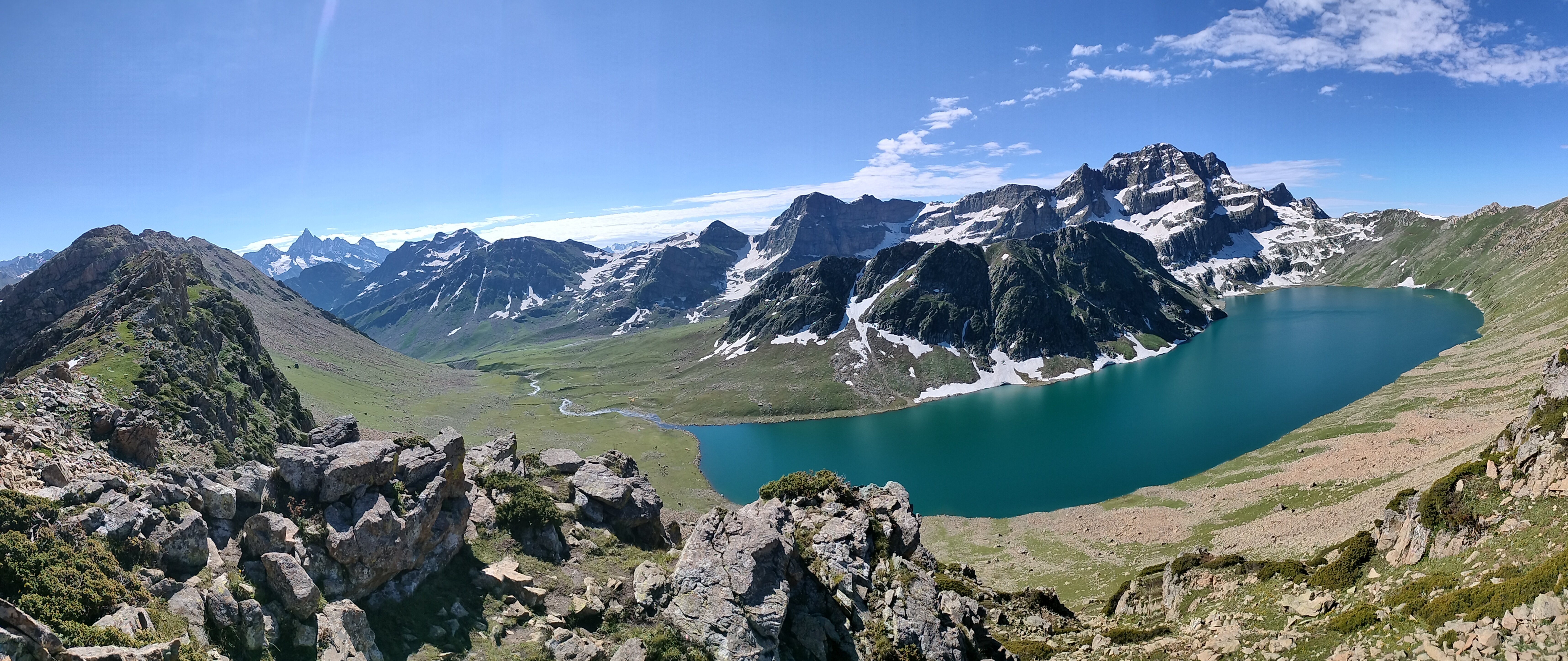
Price starts @ ₹18500 | $300

Price starts @ ₹16500 | $250

Price starts @ ₹15000 | $300

Price starts @ ₹39000 | $600

Price starts @ ₹11,299 | $125.46

Price starts @ ₹4000 | $34

Price starts @ ₹7500 | $83

Price starts @ ₹22000 | $259

Price starts @ ₹12500 | $142
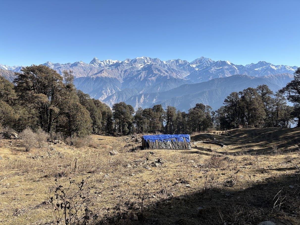
Price starts @ ₹3500 | $39
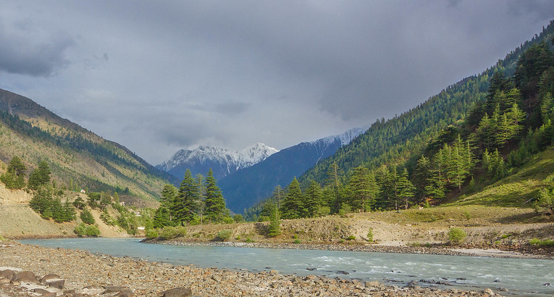
Price starts @ ₹On Demand | $On Demand
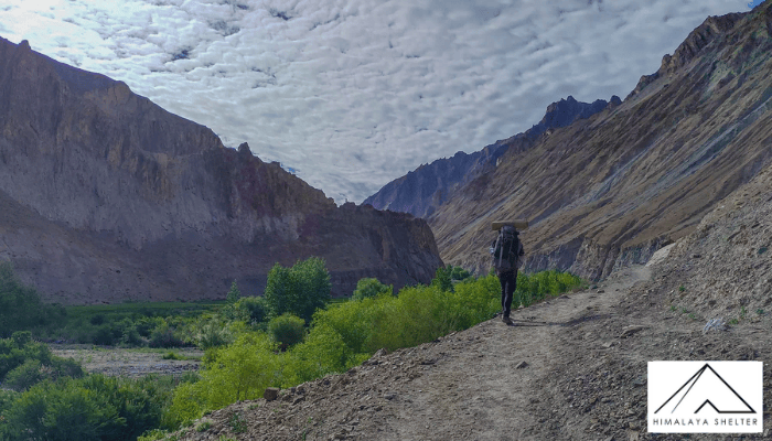
GHT Uttarakhand Himachal Pradesh And Ladakh
Price starts @ ₹On Demand | $On Demand
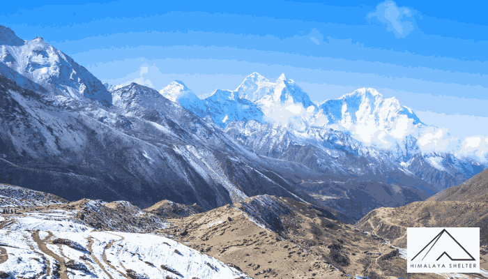
Price starts @ ₹On Demand | $On Demand

Price starts @ ₹35000 | $414

Price starts @ ₹25000 | $296
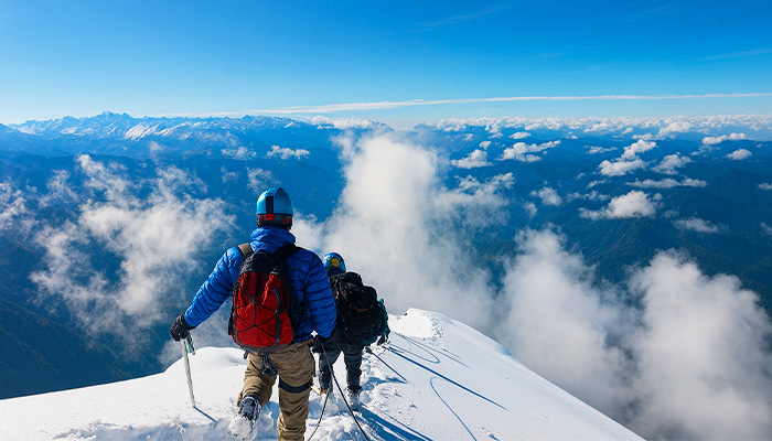
Price starts @ ₹38000 | $438

GHT Uttarakhand Himachal Pradesh And Ladakh
Price starts @ ₹On Demand | $On Demand
Price starts @ ₹On Demand | $On Demand

Price starts @ ₹119500 | $1398

Price starts @ ₹109000 | $1275

Price starts @ ₹129000 | $1508

Price starts @ ₹65900 | $769

Price starts @ ₹42000 | $484
Price starts @ ₹250000 | $2818

Price starts @ ₹78000 | $899

Price starts @ ₹28000 | $323

Price starts @ ₹59000 | $680

Price starts @ ₹51500 | $594
Price starts @ ₹On Demand | $On Demand
Price starts @ ₹On Demand | $On Demand
Price starts @ ₹On Demand | $On Demand
Price starts @ ₹On Demand | $On Demand
Price starts @ ₹On Demand | $On Demand

Price starts @ ₹On Demand | $On Demand
Latest News
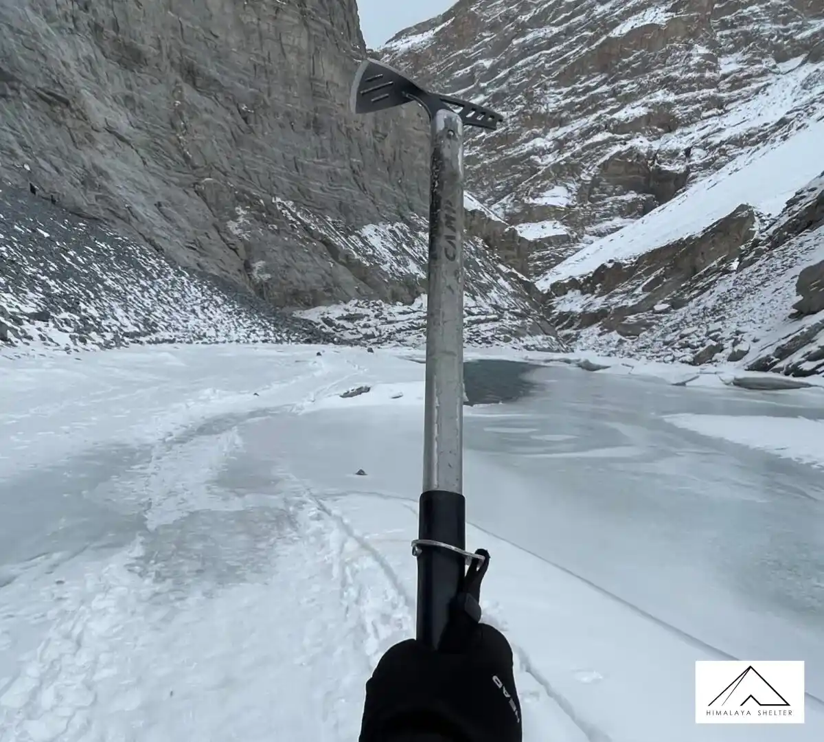
Chadar Trek 2026: Official Route Conditions Update
Author: Himalaya Shelter
13 Jan 2026
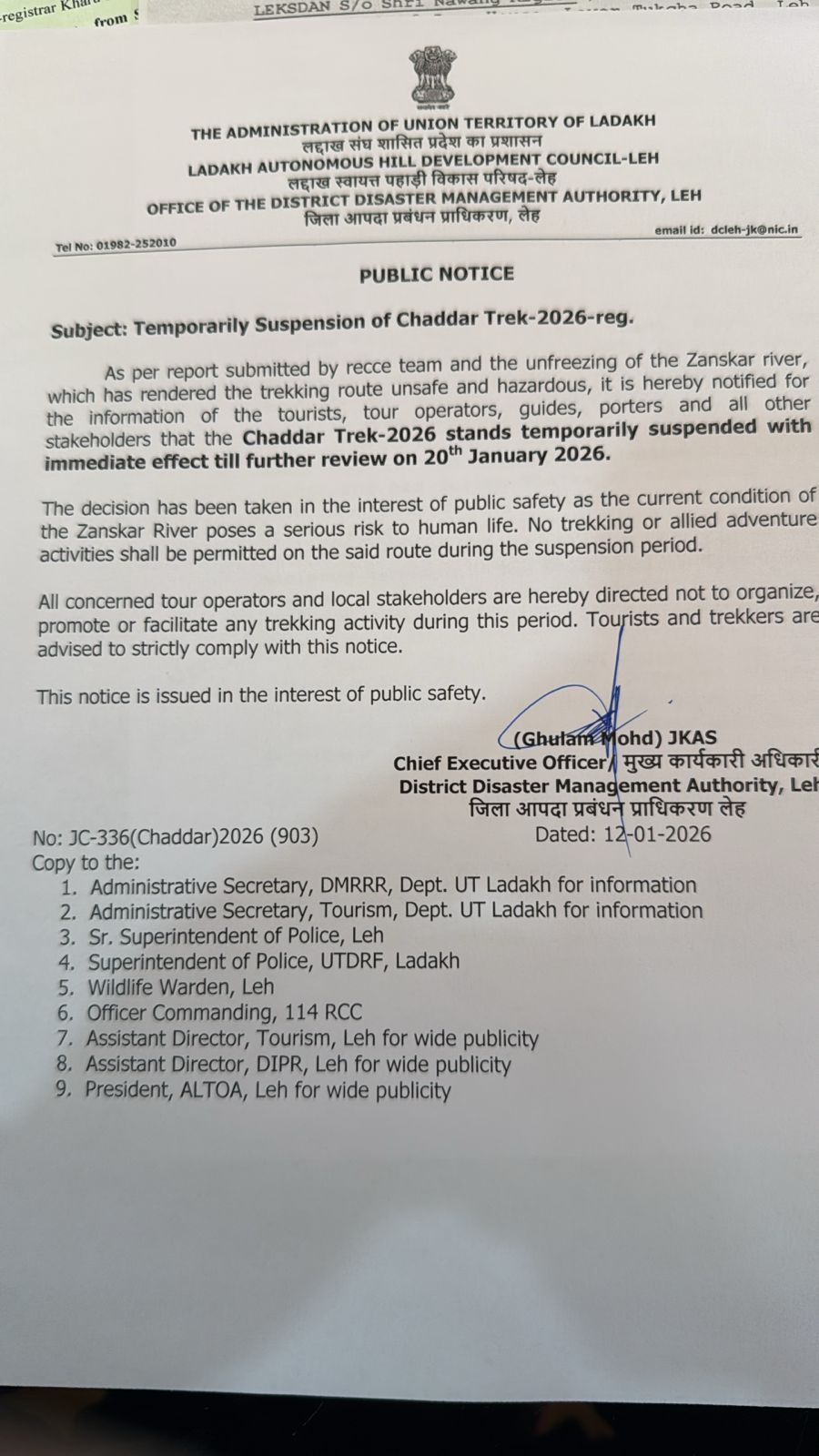
As per the instructions of the Deputy Commissioner, Leh, a joint reconnaissance (recce) team inspected the Chadar Trek route on 10 January 2026.
According to the recce report, the Zanskar River has not frozen properly, as well as current ice conditions are not suitable and safe for trekking activities. Therefore, the route will remain closed for trekking or any other activities till further notice.
Additionally, the authorities have confirmed that the recce inspection will be conducted by the 15th of January 2026 to reassess the condition of the trail and the Zaskar River as well. The upcoming official update will be released by the 16th of January 2026.
We request all the hikers to avoid relying on any unofficial information. Safety remains the highest priority, and further decisions are taken strictly based on ground conditions and administrative advisories.
Notice:
Uttarakhand & Himachal Pradesh | Winter Snowfall Update
Author: Himalaya Shelter
03 Jan 2026
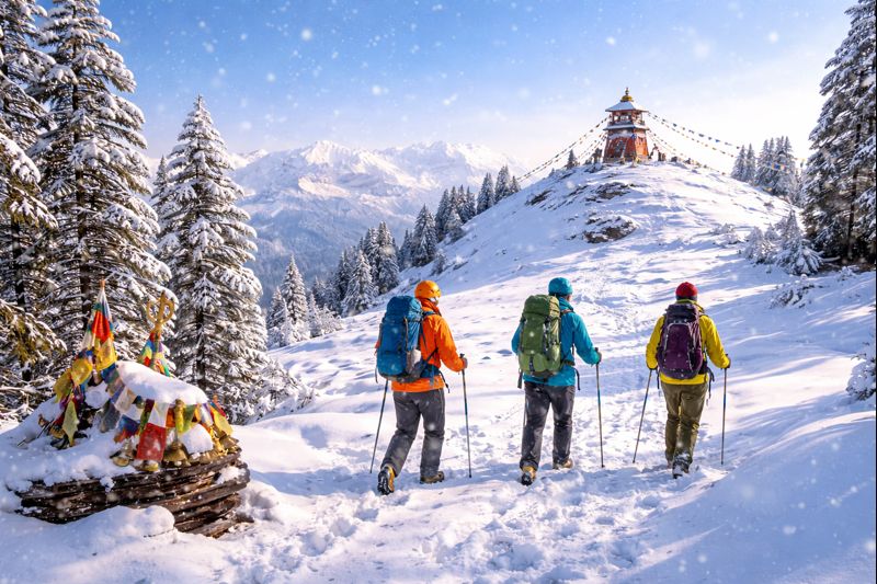
Himalaya Shelter has provided an update on winter snowfall conditions in Uttarakhand and Himachal Pradesh. In our previous update, we predicted snow would fall sooner than it did. We apologise for this incorrect prediction and appreciate the support of all of our trekkers. Weather in the mountains is unpredictable. Conditions can also change quickly.
Fresh snowfall of around 1 foot has been recorded in the higher reaches of both Kedarkantha and Kuari Pass, and current observations from the ground, combined with updated forecast models, indicate there is now a very high chance of heavy snow across several key winter trekking routes during the next week, particularly in Uttarakhand. This is great news for all snow enthusiasts!
Kuari Pass Trek – Uttarakhand
Higher parts of the Kuari Pass Trek have begun to see colder temperatures and light amounts of snow beginning on upper sections. If the current weather patterns continue, trekkers should expect fresh snowfall along the route and in surrounding meadows. This will make for an ideal time to do a classic winter trek.
Kedarkantha Trek – Uttarakhand
Kedarkantha is moving into the peak of its winter weather. As temperatures continue to fall, little snow is likely at the camps and summit areas, providing trekkers with beautiful snowy forested areas and stunning white summit views that have made Kedarkantha one of India's favourite winter treks.
We here at Himalaya Shelter will monitor the conditions on the ground continuously and provide you with real-time information regarding what we see happening. You can trust us to provide honest, responsible, and safe guidance as you explore the mountains during the transition into winter.

Indian Government Extends Free 30-Day E-Tourist Visa Policy for Thai Citizens to 30 June 2026
Author: Himalaya Shelter
03 Jan 2026
The Indian government expanded the duration of the free 30-day E-Tourist Visa Policy for Thai citizens to 30 June 2026, as per the statement made by the Embassy of India in Bangkok. This means Thai citizens will continue to be eligible for single- or double-entry E-Tourist Visas without paying any visa fee.
Thai citizens interested in visiting India can apply for their e-tourist visa through the Indian Government website. https://indianvisaonline.gov.in/evisa/tvoa.html
According to officials in India, this extension of the E-Tourist Visa Program is expected to significantly increase international tourism in India, particularly with regard to trekking and adventure tourism in the Himalayas. Therefore, areas such as Uttarakhand, Himachal Pradesh, Ladakh, and Sikkim will be some of the frontrunners for new Thai visitors participating in trekking and outdoor activities.
We, Himalaya Shelter Trekking Company, and other such adventure travel companies will also benefit significantly from the extension of this programme and the arrival of more international trekkers seeking true Himalayan trekking experiences.
For complete information | Press Release Date - 31 December 2025 https://embassyofindiabangkok.gov.in/public/assets/pdf/EOI_Press%20Release_Extended_2025.pdf
High Chances of Snowfall Across Winter Treks: A Promising Season Ahead for Trekkers
Author: Harsh
20 Dec 2025
Uttarakhand & Himachal Pradesh | Winter Update
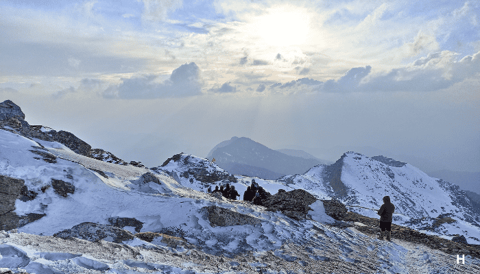
By experience, We Himalaya Shelter confirms that according to current weather patterns and forecasts, there will be a strong likelihood of snowfall within this week along most of the popular winter trekking routes through the Himalayan region. This can be very exciting news among trekkers who cannot wait to see their first snowfall or see the beauty of a trail and meadow covered in a beautiful, thin layer of snow.
With temperatures steadily dropping at higher altitudes, regions across Uttarakhand and Himachal Pradesh are entering their most scenic phase. Early snow spells are already being reported in upper reaches, and consistent snowfall is expected to transform winter trails into classic Himalayan landscapes, exactly what winter trekking enthusiasts hope for.
A Dream Season for Snow Lovers
To many hikers, winter is an experience rather than a season. The fresh blanket of snow that covers every tree and shrub has transformed what would typically be hard and rocky paths into smooth-flowing trails. In addition, nothing compares to the beauty of the mountains' peak during a snowfall. Walking through these trails on freshly fallen snow and looking up at the snowflakes tumbling down provides a beautiful view. The beauty of waking up to a campsite fully covered in snow also adds to the specialness of winter hikes.
Bachan Rana Leads Himalaya Shelter Group to Successful Aancha Top Ascent For The First Time
Author: Harsh
17 Dec 2025
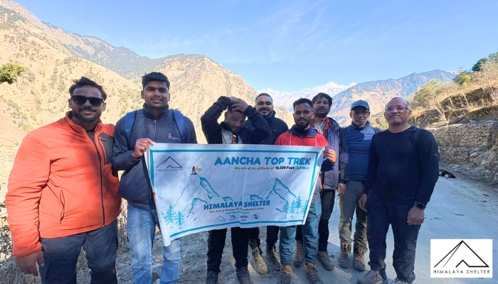
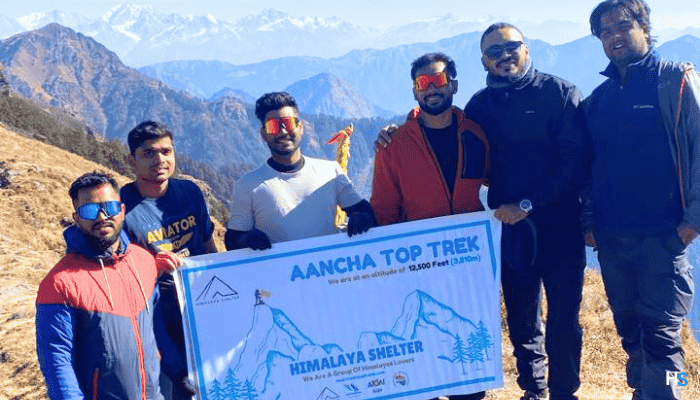
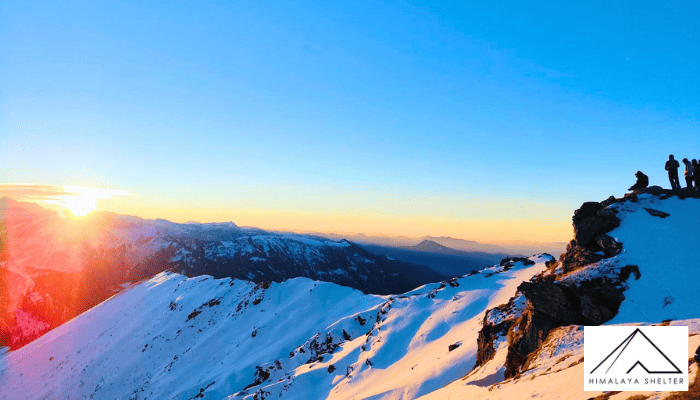
Under the leadership of two experienced leaders, including Mr. Bachan Rana, the founder and director of Himalaya Shelter, a small group of seven trekkers was able to accomplish their goal of summiting the Aancha Top for the first time. The entire group was able to make it to the summit on schedule and are currently in the process of safely descending back down.
The experience of all those in the trek was a great success because of well-coordinated team efforts, the benefit of leadership experience, and favourable weather conditions. We look forward to a detailed article about the obstacles faced and our overall experiences on-site after the completion of the trek on the anticipated date of 19 December 2025.
Himalaya Shelter sends a huge congratulation to the entire group for their successful summit of the mountain, and we wish them all a safe trip back home.
News Update | Himalaya Shelter
Author: Harsh
13 Dec 2025
Today was a busy day for Himalaya Shelter as two trekking groups set off on their Himalayan trekking paths. One of our groups departed on the Kedarkantha Trek, initiating the ascent to one of the most popular winter summits in Uttarakhand. At the same time, the second group started the Nag Tibba trek, which is known for its picturesque forest trails and stunning views from above, and is a traditional short trek in the Himalayan region.
We are happy to announce that one of our group has successfully finished the Nag Tibba trek, returning safely and within the scheduled timeline. We would like to congratulate all those in this group on successfully completing their trek and wish those on the Kedarkantha trek a safe and enjoyable trek ahead.
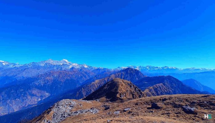
On the 14th of December, we will operate a group on the Ancha Top Trek for the first time.
Author: Harsh
12 Dec 2025
The small group consists of 7 trekkers under 2 experienced trek leaders, including the founder of Himalaya Shelter, Mr Bachan Rana. We will finish our trek by the 19th and share our experience after the completion of the trek.
| Days | Min Temp | Max Temp | Weather |
| 14-Dec | -0.5°C | 7.8°C | Partly cloudy sky |
| 15-Dec | -2.2°C | 7.7°C | Mainly Clear sky |
| 16-Dec | -1.7°C | 8.6°C | Mainly Clear sky |
| 17-Dec | -0.1°C | 10.1°C | Mainly Clear sky |
| 18-Dec | 0.1°C | 9.1°C | Partly cloudy sky |
Yet, there has been no snowfall on the Ancha Top Trek to date. But here's the weather report of the Yamunotri range for you.
Keep connected to us for further information; we will update you regarding other ongoing and upcoming treks as well. For more Details information, you can visit our Aancha top trek page.
Tungnath (Tritiya Kedar) Temple Temporarily Closed to Public
Author: Bachan Rana
08 Dec 2025
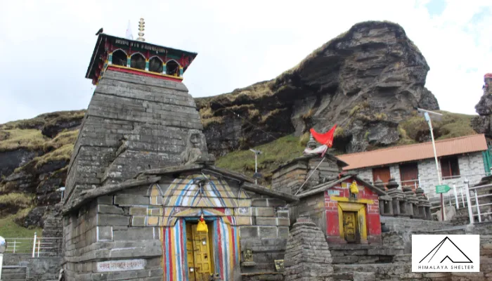
Rudraprayag, Uttarakhand: The portals and outer premises of the sacred Tungnath (Tritiya Kedar) Temple have been temporarily closed for public entry due to increasing incidents of uncleanliness and the use of inappropriate in the temple surroundings.
The decision has been taken to preserve the spiritual sanctity and natural cleanliness of the holy site. Authorities have observed that some visitors were engaging in inappropriate activities, including littering and consumption of intoxicating substances, which deeply hurt religious sentiments and disturbed the peaceful environment of the region.
The Tungnath Temple and its outer areas will remain closed to the public until further official notice. The temple will reopen only after formal approval and announcement by the Badrinath-Kedarnath Temple Committee (BKTC).
Devotees and travelers are requested to cooperate with the administration and respect this decision in the larger interest of faith and environmental protection.
Our Team visited on 4 December to Tungnath Temple, they informed about temple closing.
Fresh Snowfall Expected on High Altitude Treks
Author: Himalaya Shelter
06 Oct 2025
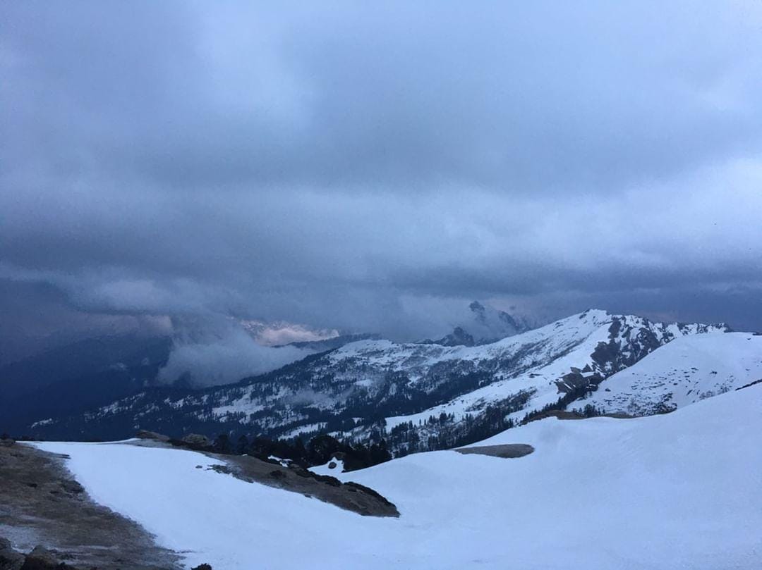
Uttarakhand experienced its first snowfall of the season this year, which is very early; soon, you can expect snow on every trek in Uttarakhand.
On Monday, Kedarnath and Badrinath got the season's first snowfall. The arrival of Winter in the Gharwal Himalayas of Uttarakhand.
Kedarnath Valley is covered with fresh snow, and Tungnath Temple gets light snowflakes.
IMD had forecast snowfall in the high-altitude regions of Uttarakhand region.
First time in Uttarakhand, Adi Kailash Circuit Marathon is organised by Uttarakhand Tourism.
Author: Himalaya Shelter
24 Sep 2025
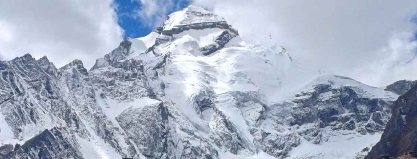
Hon’ble CM Pushkar Dhami announced the historic high altitude Adi Kailash Parikarma run on 25th Foundation Day of Uttarakhand, 2nd November 2025.
ADI KAILASH PARIKRAMA RUN
India’s First High-Altitude Ultra Marathon (10,300–15,000 ft)
Location: Gunji & Jolingkong, Pithoragarh, Uttarakhand
Date: 2nd November 2025
Mission: Promote Vibrant Village Border Adventure Tourism & inspire youth for a healthy life.
Race Categories:
-
60KM Ultra (Jolingkong–Gunji loop) | Start: 4:00 AM | Cut-off: 10 hrs | +1588m
-
42KM Marathon | Start: 5:00 AM | Cut-off: 7 hrs | +1295m
-
21KM Half | Start: 5:20 AM | Cut-off: 4 hrs | +1295m
-
10KM Run | Start: 5:30 AM | Cut-off: 2 hrs
-
5KM Fun/Charity Run | Start: 6:00 AM | Cut-off: 80 min
Pre-Race:
-
31 Oct–1 Nov at Gunji: BIB Distribution, Medical Check, Briefing
-
Mandatory acclimatization: 2 days at Gunji/Jolingkong
Accolades:
-
Dry Fit T-shirt, Medal, Goody Bag, Hydration & Refreshments, E-certificate
-
Cash Prizes + Trophies for Top 5 (60K–10K) & Age Categories (40+, 50+, 60+)
-
5K: Fun Run with Trophy & Hampers
Compulsory:
-
Acclimatization (2 days minimum)
-
Inner Line Permit (Aadhar/Passport)
-
Fitness Medical Certificate
-
Past Marathon/Ultra Certificate (preferred)
-
Disclaimer & Insurance formalities
Trek Update! Our trek group to Har ki Dun moved forward to Sankri Base | All the treks of Uttarakhand opened
Author: Himalaya Shelter
21 Sep 2025
Har Ki Dun
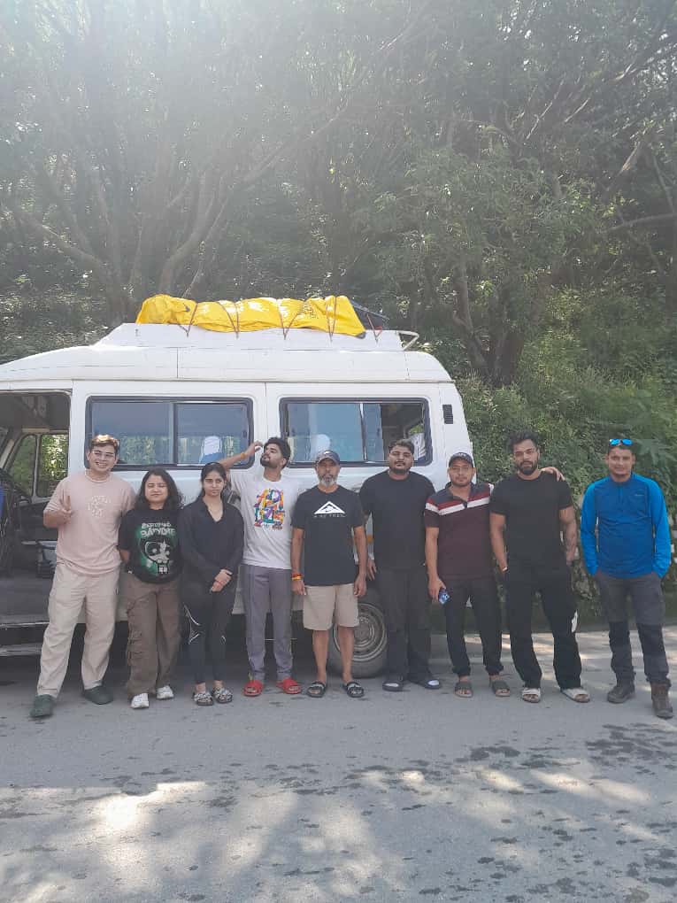
Today, our trekking group is moving forward the Har Ki Dun trek, one of the most scenic valleys of the Garhwal Himalayas. Known as the “Valley of Gods”, Har Ki Dun is rich in mythology, alpine meadows, and breathtaking views of Swargarohini peaks.
All Treks in Uttarakhand are opened now.
13th Sept Fachukandi and 15 September Buran Ghati Team Summits Successfully
Author: Tanisha Chauhan
19 Sep 2025
Fachukandi
Buran Ghati
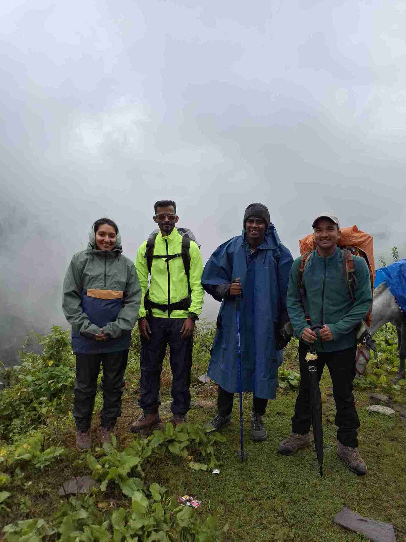
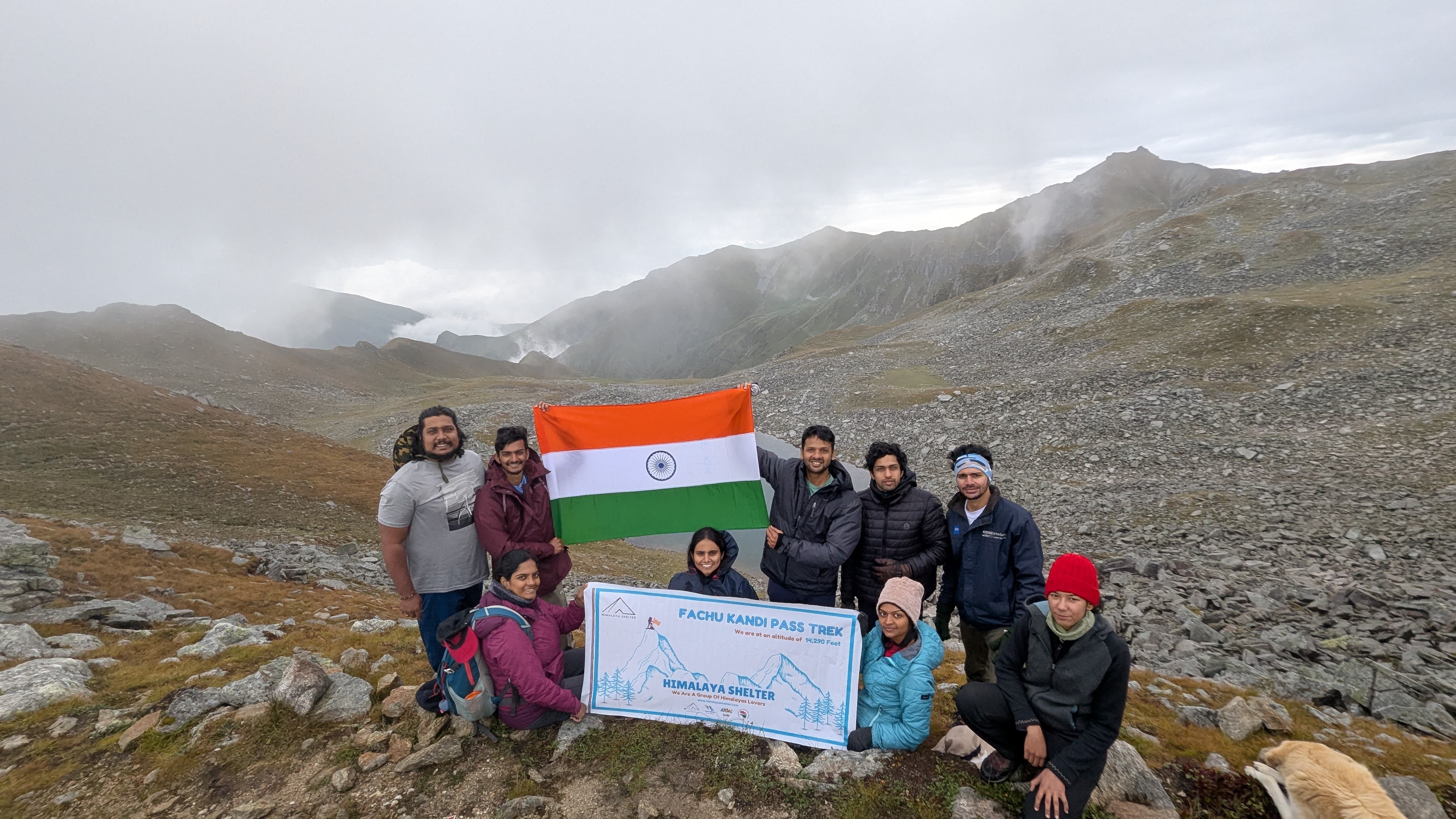
Har Ki Dun and Fachukandi treks running on schedule | Buranghati trek running smoothly | Again Fachukandi and Har ki Dun trek will go on 19th September and 20th September
Author: Tanisha Chauhan
18 Sep 2025
- Fachukandi Trek was started on 13 september. Today they will reach Hanuman Chatti.
- Har ki Dun was started on 15 September. The team reported roads is clear.
- And Buranghati trek was started on 16 September. Shimla to Janglik road is clear.
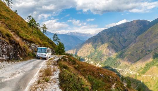
Recent Update of Uttarakhand Trekking!
Author: Tanisha Chauhan
13 Sep 2025
Over the past weeks, trekking in Uttarakhand has been stopped due to severe weather condition. Due to post mansoon season autumn treks get delayed. Government has temporarily suspended permission for trekking in Uttarakhand to ensure safety.
Chamoli Update: Roads Cleared, Trekking Resumes in Valley of Flowers
The road blockage due to heavy rainfall, route was disrupted recently in Chamoli district where Joshimath is located.
Road blockage and debris is now cleared, and route opened for vehicle.
Permissions for the Valley of Flowers trek have resumed after 5 September 2025.
Gangotri Road Reopens for Light Vehicles via Dharasu
Road access to Gangotri has been restored in Uttarkashi. Reports confirm that the Dehradun–Gangotri highway is open and functional. However, due to safety concerns, The administration is only letting smaller cars like Boleros pass the Dharasu stretch right now since they are worried about safety.
This incomplete report says that reopening it will make it easier to get to Gangotri, but heavier trucks are still not allowed for now. Authorities are nevertheless keeping a careful eye on road safety.
So now you can plan next trek to Gaumukh Tapovan after 15 September.
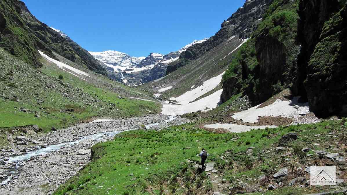
Trekking Update Himachal Pradesh
Author: Tanisha Chauhan
12 Sep 2025
Over the past weeks, trekking in Himachal Pradesh was stopped due to cloud brust and landslides. The government had temporarily stopped permissions for Himalayan treks to ensure safety.
We’re glad to share some good news:
- The route from Chandigarh to Shimla is now clear. So for permission for Buran ghati trek and Rupin pass trek will get from 15 September
- The last road from Rohru to Jiskun, which was blocked earlier, reopened yesterday for vehicles.
The treks like Buran Ghati and Rupin Pass are finally open again. After late monsoon things stabilize, the upcoming weeks (late September into October) will be one of the best times to experience crystal-clear skies, autumn colors, and safe conditions on these beautiful routes.
What this means for you:
- Trekking permissions start from 15 September by government, so you can now start planning your autumn trekking.
- Major roadblocks are cleared, but you can expect some delays due to some reason, Keep some extra time in your travel plan in case of delays
Authorities Recover Non-Compliant GPS Device from Trekker
Author: Udita
10 Sep 2025
Recently, an unauthorised trek device was recovered from a trekker. We all plan our adventure and trekking trips wisely, not forgetting what clothes we need to pack, the type of shoes we need, and a handy first aid kit. But there are times when we end up carrying a GPS device for recording trails, distance, or out of fear of getting lost in unfamiliar terrain, without knowing the repercussions of it.
Many trekkers in the recent past have been detained in India for carrying a GPS device. These GPS devices are often used for texting when there is no cellular connection available, but are illegal and prohibited in India.
So, the next time you plan a trek in India, be mindful that carrying satellite-based GPS communicators is strictly prohibited. These devices are banned under the Telecommunications Act, 2023, and using them without authorisation can invite severe consequences — including imprisonment of up to three years and fines as high as ₹2 crore (about USD 230,000). It’s always safer to leave such equipment behind and rely on authorised navigation support provided by your trek operator.
While these devices are common in other countries for emergency communication, In India, they fall under restricted equipment because of country-wide safety concerns. Hence, it is always safer to avoid carrying such devices and instead rely on authorized navigation support and safety systems provided by your trek operator. Staying informed and prepared not only ensures your safety but also keeps your trekking experience worry-free.
Lastest Travel Blogs
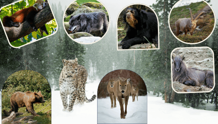
Himalayan Animals and Wildlife: A Complete Guide to Rare and Endangered Species of the Himalayas
20 Jan 2026 | Harsh Kumar Sekhawat | 7 min read
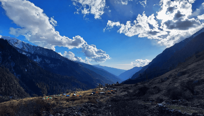
The Perfect Himalayan Valley for Beginners: Har Ki Dun Trek
19 Jan 2026 | Harsh Kumar Sekhawat | 6 min read
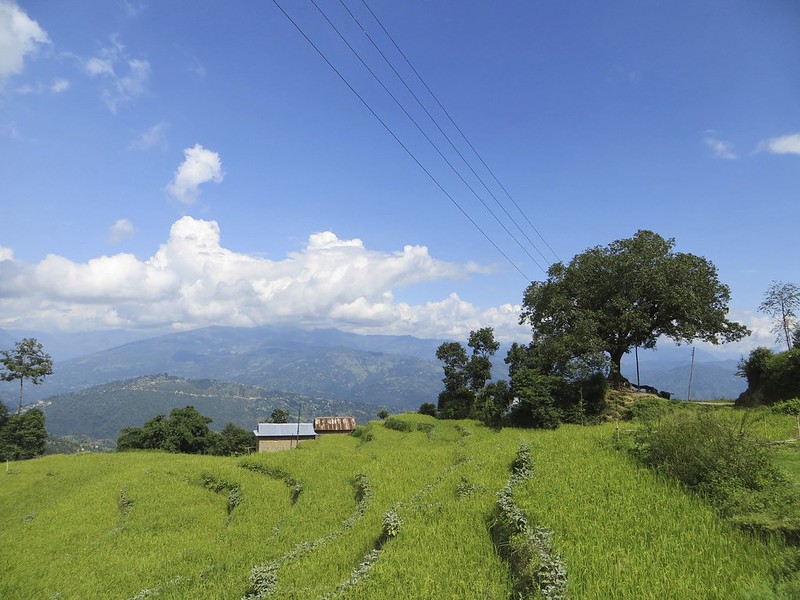
One Day Treks in Nepal: Quick Escapes into Himalayan Nature
14 Jan 2026 | Harsh Kumar Sekhawat | 6 min read
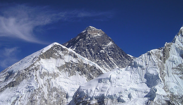
A Complete Guide to Exploring Nepal: Beyond Just Hiking
14 Jan 2026 | Himalaya Shelter | 7 min read
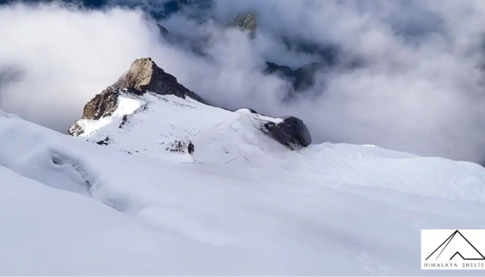
Best Time to Do Friendship Peak Trek:
13 Jan 2026 | Himalaya Shelter | 5 min read
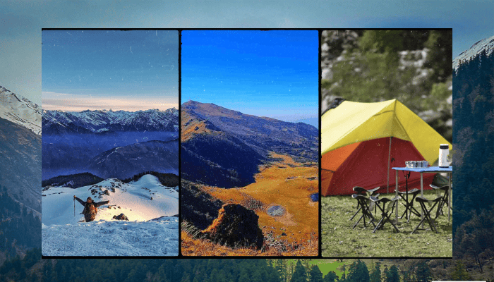
Best Places and treks to visit in January: 2026
13 Jan 2026 | Himalaya Shelter | 8 min read
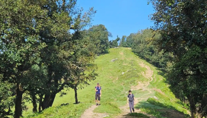
Nag Tibba Trek A Short Himalayan Journey: Filled With Warmth, Culture, and Quiet Trails
07 Jan 2026 | Himalaya Shelter | 5 min read
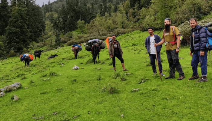
Trekking Emerges as One of the Greatest Adventure Activities:
06 Jan 2026 | Himalaya Shelter | 4 min read
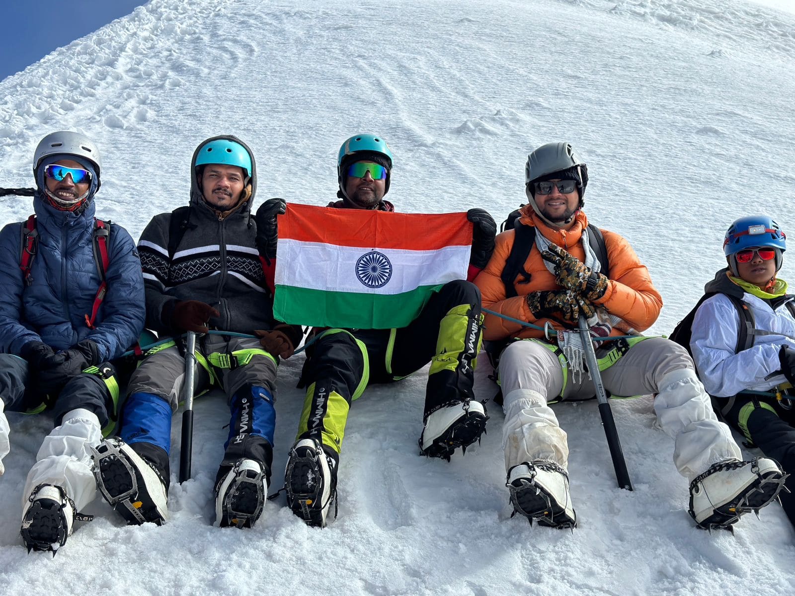
Friendship Peak Trek Difficulty:
06 Jan 2026 | Himalaya Shelter | 5 min read
Why Trek With Us
We're not just a trekking company - we're your mountain family, commited to making every journey safe, memorable and transformative
Local Expert Guides
Our guides are born and raised in the Himalayas, bringing unmatched knowledge of the terrain, weather, and local culture
Safety First
Certified guides, quality equipment, oxygen cylinders, and established evacuation protocols for your peace of mind
Small Groups
Maximum of 15 trekkers per batch ensures personalized attention, better safety, and a more intimate experience
Transparent Pricing
No hidden costs or surprises. What you see is what you pay, with all inclusions clearly listed
Eco-Friendly Practices
Leave No Trace principles, waste management, and support for local communities and conservation efforts
24/7 Support
From booking to post-trek, our team is always available to help with any questions or concerns


