We have compiled a list of 10 of the most difficult treks in India. This list excludes trekking peaks such as Kang Yatse II or Stok Kangri and similar. Before we share the treks, a little to add to your understanding of trekking, if you are still new to it.
Trek Diaries
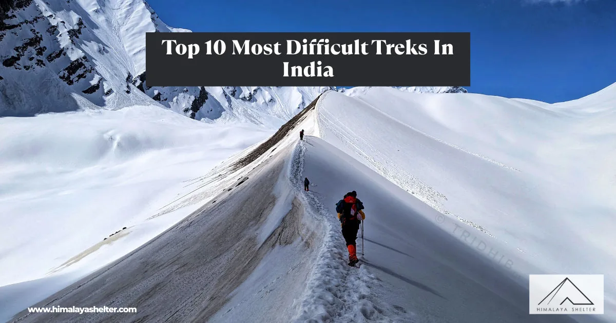
10 Most Difficult Treks In India: Gems for seasoned trekkers
What is Trekking?
Trekking is becoming an increasingly popular activity in India. While many confuse it with an offbeat journey, it is much more than that! Trekking is a multiple-day activity that can easily be put as a slow-paced adventure sport. It involves travelling to remote areas in partial or total autonomy (that is, you are required to carry your means of survival with you). It has its challenges, risks (yes, not to scare you off but many people get injured and even die each year while trekking), and rewards!
Imagine standing on top of a mountain pass or a peak, towering above 18,000 feet, where the world seems conquered, and your life choices often flash before you in a moment, and the soul rejoices.
It may not be the same as climbing an 8,000-meter peak (there are only 14 of those in the world) ,but an offbeat, difficult trek can take you to places where hardlyany living beings tread and at a fraction of the cost compared to climbing a peak. Gone are those days when climbing Everest was an unparalleled feat. People have skied from, done paragliding off the top, and even landed a helicopter on Everest.
There isn’t much left to be accomplished in the Mountaineering world that would put you in the hall of fame, and you are more than likely to encounter a human traffic jam on your way to the highest point on the face of the earth (yes, if you don’t believe us, check out the image below from 2019).
Nirmal Purja captured this photograph while returning from the summit of Everest on his quest to climb all 14peaks above 8,000 meters in the world, and he did it in under 7 months (it’s a world record that may never be broken).
Nevertheless, there are plenty of challenging treks in India that any experienced trekker can accomplish with apt preparations, or that many beginners can aspire to! We must warn you , though, that while these may not be the same as climbing a towering peak, they are not an easy feat and often are known to cause fatalities (while some are still safer than others).
Top 10 Most Difficult Treks In India:

1. Kalindi Khal Trek:
- Altitude: 5,940 meters | 19,490 Feet
- Duration: 15 to 17 Days
- Distance: 100 KM approx
- Location: Uttarakhand
Kalindi Khal tops the list of the most difficult treks, and rightly so. One of the highest mountain passes in the world, it is higher in altitude than 4 of the 7 Summits (a list of 7 peaks, highest each, in the 7 continents respectively).
Kalindi Khal connects Gangotri and Badrinath (2 of the 4 “Char Dham“) and can take well over two weeks to traverse across the landscape, which is a mix of immense snow fields, crevasses, glaciers, moraine fields, and more. It is not a trek for the faint-hearted. Kamet (7,756 meters), Mana (7,272 meters), and Abi Gamin (7,355 meters) are some of the highest peaks you will come across during this trek.
2. Auden’s Col Trek:
- Altitude: 5,490 meters | 18,010 Feet
- Duration: 16 to 17 Days
- Distance: 80 KM approx
- Location: Uttarakhand
Named after John B. Auden, a British surveyor, this pass was first crossed by him in 1939. Auden’s Col connects Rudra Valley to the Khatling Valley. It starts from Gangotri and concludes at Kedarnath or vice versa.
The Route towards Auden Col’s Trek follows a series of basecamp destinations in the order of Nala, Ruduagaira, Gangotri Group, and Auden’s Col.
The descent from Auden’s Col towards the Khatling Glacier is near vertical and challenging, which requires rope fixing. Two days are spent traversing the mighty Khatling glacier, when finally the lower altitudes greet us with dense forests.
Masar Tal and Vasuki Tal are two alpine lakes we come across during the beautiful but challenging trek.
3. Traill’s Pass Trek:
- Altitude: 5,310 meters | 17,421 Feet
- Duration: 16 to 18 Days
- Distance: 125 KM approx
- Location: Uttarakhand
George William Traill, the 2nd British Commissioner of Kumaon, crossed this pass in 1830, and thus the naming. Since then, only a handful of groups have successfully trekked across this pass. Near vertical rock walls, bottomless deep crevasses, and ridge lines with cornices are some of the challenges this pass throws at you, apart from its apparent remoteness.
Situated at the head of the Pindari Glacier, the locals call this pass Pindari Kanda. It connects this valley (Pindari) to the Lalwan valley. These are among the remotest stretches of Uttarakhand and the least explored by travelers. Nanda Devi East Base Camp lies en-route the trek.
4. Panpatia Col:
- Altitude: 5,260 meters | 17,257 Feet
- Duration: 12 Days
- Distance: 65 KM approx
- Location: Uttarakhand
Imagine standing in a 7 KM long snowfield situated above 5,000 meters, with 4 towering peaks, two of which are rising above 7,000 meters, in the background. It feels like you’re standing in Antarctica, only higher than the latter.
Panpatia Col connects Kedarnath and Badrinath and the trek is known for its unparalleled views. Apart from the Chaukhamba massif, we get to view Nilkantha, Balakun, Dhauliganga, and Hathi Parvat peaks up close. Starting at Joshimath, the trek concludes at Ransi near Kedarnath.
5. Gupt Khal via Bhyundar Khal:
- Altitude: 5,800 meters | 19,030 Feet
- Duration: 14 Days
- Distance: 97 KM approx
- Location: Uttarakhand
English Mountaineer and Author Frank Smythe mentioned Gupt Khal in his book “Valley of Flowers“, published in 1938, which had put the valley on the world map.
Gupt Khal literally translates to " the Hidden or Secret Pass” and rightly so. The pass requires traversing another treacherous pass, namely the Bhyundar Kha,l before we are finally able to scale the secret pass crossing. The twin pass crossings require traveling across a series of glaciers, namely – Rataban Glacier, Tipra Glacier, Gauri, Bankund, Nilgiri, and Nakthani Glacier.
A number of peaks Nilgiri, Nilkantha, Rataban, Kamet, Hathi, and Mana, are visible.
6. Lamkhaga Pass:
- Altitude: 5,280 meters | 17,330 Feet
- Duration: 9 Days
- Distance: 77 KM approx
- Location: Uttarakhand & Himachal Pradesh
The trek is a crossover that connects Harsil near Gangotri and Chitkul, a quaint village in Himachal Pradesh, bordering Tibet. The Lamkhaga Pass trek runs close to the LAC and requires an Inner Line Permit. The route is very remote and often challenging. It requires crossing the furious Baspa River, which in itself can be fatal in the summer months or early September.
The terrain is hostile and lacks any connectivity with the outside world, and each year,r only a few trekkers attempt this pass. Bad weather is common and can often spell misfortune, as it happened in an accident in October 2021, when adverse weather led to a trekking party getting stuck, and 9 trekkers ended up losing their lives.
The trek needs adequate planning and preparatio,n and only experienced trekkers should attempt this pass.
7. Rumtse to Tso Moriri:
- Altitude: 5,435 meters | 17,830 Feet
- Duration: 10 to 11 Days
- Distance: 102 KM approx
- Location: Ladakh
“Ladakh, the land of high passes“, the phrase can very aptly be explained by the Rumtse to Tso Moriri trek. The over 100 KM long trek takes you through a total of 6 mountain passes higher than 5,000 meters in altitude.
Kyamar La (5,071 meters), Mandalchan La (5,206 meters), Tisaling Shibuk La (5,275 meters), Kayamayuri La (5,416 meters), Kartse La (5,384 meters), Yalung Nyau La (5,435 meters).
Not just the passes, but then there are two mesmerizing lakes, the over 7 KM long Tso Kar & finally the much larger Tso Moriri (26 KM), where the trek concludes. The trail is surely going to test your endurance, and you will witness a spectacle like no other.
8. Kang La:
- Altitude: 5,468 meters | 17,940 Feet
- Duration: 12 Days
- Distance: 90 KM approx
- Location: Himachal Pradesh & Ladakh
The natives of the untouched Lahaul valley used to take this route across Kang La to traverse into Zanskar and onward to Ladakh. A 24 KM trek over the glacier happens to be one of the longest glacier walks you will come across in India during the Kang La trek.
Kang La is replete with a changing landscape with lush green meadows paving the way for the arid mountains of Zanskar, after trekking across glacier fields, crevasses, moraines, glacial lakes, and more. You will be trekking in some of the most hostile and untouched regions of the Western Himalayas during the Kang La trek.
The trek starts at Changut in Lahaul and ends at Padum in Zanskar.
most difficult treks in India
9. Dhumdhar Kandi Pass:
- Altitude: 5,490 meters | 18,010 Feet
- Duration: 12 Days
- Distance: 78 KM approx
- Location: Uttarakhand
James Baillie was the first ever to recognize this pass in the year 1815. The Dhumdhar Kandi pass managed to keep its secrets till 1987 when a team from West Bengal crossed it successfully. The pass connects Bhagirathi and Tons valleys, and is a hidden gem that has been trekked rarely.
It shares its base with the Black Peak (Kalanag – 6,387 meters), which is the highest peak in this region. The mighty Swargarohini Massif, too, can be attempted from this area. The terrain is difficult to trek across, and rockfall areas are common, which can cause unwanted accidents. The trek starts from Sankri in Har Ki Dun region and ends at Harsil towards Gangotri.
10. Parang La:
- Altitude: 5,580 meters | 18,307 Feet
- Duration: 12 Days
- Distance: 126 KM approx
- Location: Spiti in Himachal Pradesh & Ladakh
Starting at Chicham/Kibber in Spiti, the Parang La trek takes you across a mighty pass and an astounding stretch where you get to walk along the Tso Moriri lake for 2 full days. Arid mountains, vast grazing lands, remnants of fossils from millions of years ago, and trails untouched by humans make up this unique trek.
The trek includes long walks on all days and is the longest in our current list in terms of distance covered.
Other Dangerous Treks:
While we have tried our best to try to narrow down the list from across a vast number of offbeat and challenging treks, there are still many more most difficult treks in India which need a mention, the least.
There are a number of trekking peaks, a few of which rise above 20,000 feet and make up for very difficult treks. We will cover the list of those treks in our next blog.
Pin Parvati Pass Trek:
- Altitude: 5,300 meters | 17,390 Feet
- Duration: 11 to 12 Days
- Distance: 80 KM approx
- Location: Himachal Pradesh
The Pin Parvati Pass is a unique crossover trek that connects the Pin Valley in Spiti and the Parvati Valley, with the trek starting at Bhuntar. The route follows the popular Kheerganga trek before it enters the untouched landscape. The trekking route is part of the Pin Valley National Park, in the greater Himalayan range.
The trek concludes at the remote village of Mud, known for its picturesque dry mountain landscape with a foreground of lush green fields. It is a remote and challenging trek, which is known for its spectacular views.
Sin La Pass Trek:
- Altitude: 5,495 meters | 18,030 Feet
- Duration: 14 Days
- Distance: 75 KM approx
- Location: Uttarakhand
A staggering altitude of 5,495 meters, Sin La connects Bidang in Darma Valley to Jolingkong Lake in the Kuthi Yankti Valley. It was used by the Bhotiyas of Uttarakhand to travel to Tibet as part of their trade route. Adi Kailash can be viewed from this route on a clear day.
FAQs:
Q1. What are the most difficult treks in India?
Ans: Some of the most challenging treks in India include Stok Kangri, Chadar Trek, Pin Parvati Pass, and Roopkund.
Q2. How do I prepare for a difficult trek in India?
Ans: Preparation involves physical fitness, adaptation, and researching the specific trek’s requirements.
Q3. What is the best time for difficult treks in India?
Ans: The ideal time varies by trek, but generally, summer months (May to June) and post-monsoon (September to October) are preferred.
Q4. Do I need a guide for these treks?
Ans: It’s advisable to have a local guide for safety and navigation, especially on difficult treks in unfamiliar territory.
Q5. Are permits required for these treks?
Ans: Yes, some treks require permits, which can be obtained through local authorities or tour operators.
Q6. What safety precautions should I take on these treks?
Ans: Inform someone about your itinerary, carry communication devices, follow your guide’s advice, and be prepared for emergencies.