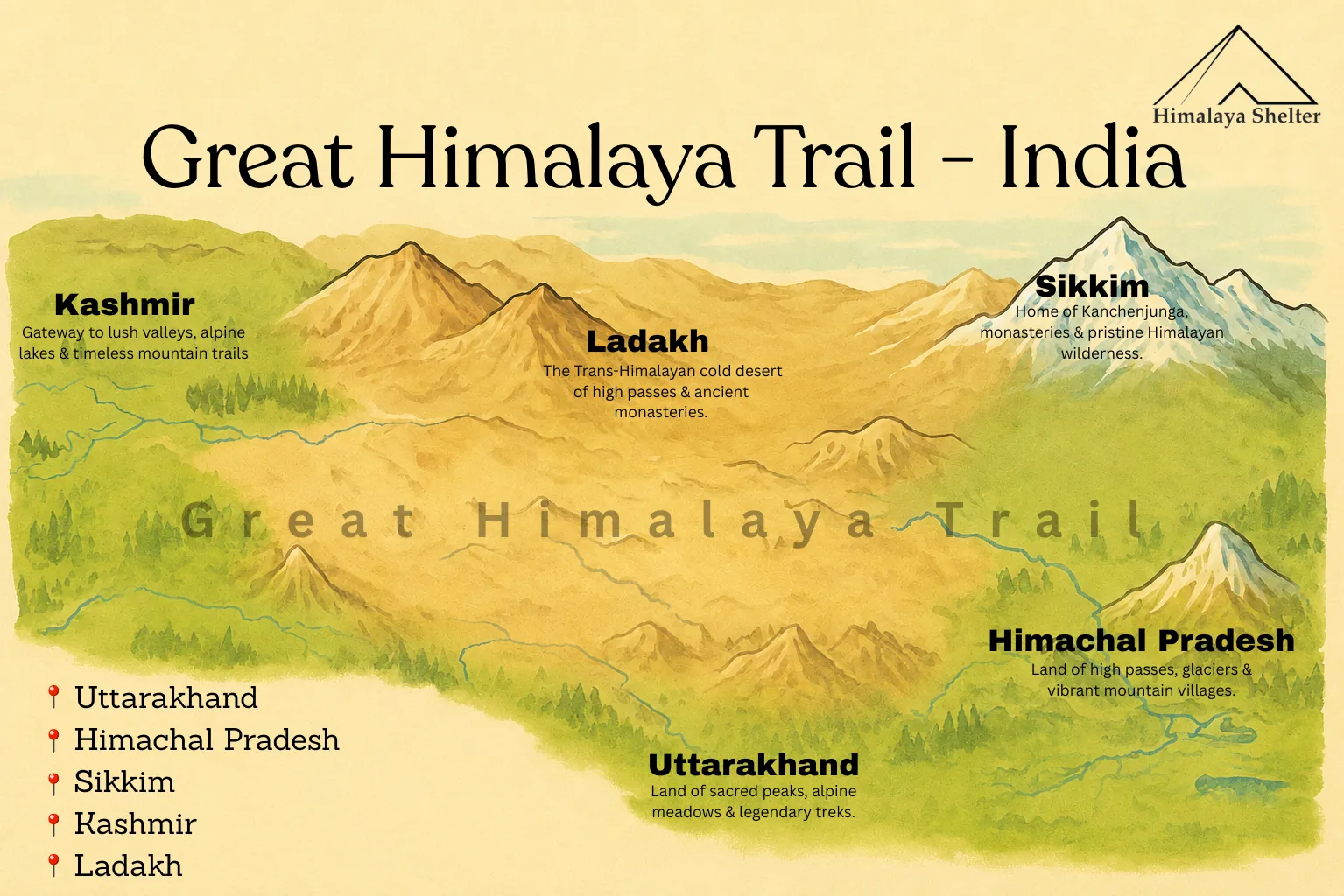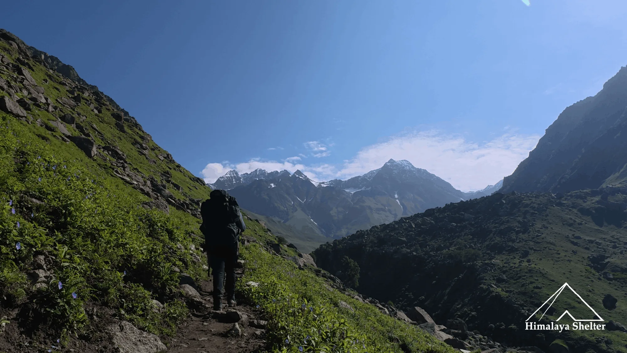
It starts from Dhaula village which is in Govind Wildlife Sanctuary and trek to Sewa which is just 4 to 5 kilometers. Dhaula is 237 km away from Dehradun and Dhaula is very near to Sankri, so on the first day we stayed in Sankri.
Dehradun to Sankri
The journey from Dehradun to Sankri is spectacular. You will get glimpses of the Great Himalaya from Mussoorie. Mussoorie is a very famous hill station that gives views of peaks such as Mt Bandarpunchh, Mt Swaragarohini and Gangotri groups. After getting down from Mussoorie, you will see the big Kempty waterfall.
Then the road winds towards Nainbagh and Yamuna river flowing along the road. If you come to another road Vikasnagar, you will see Yamuna and Tons river confluence at Yamuna Pull. And you will move forward with the Yamuna river. Then you will cross villages such as Damta, Naugaon, Purola. After Purola, it feels like a change in the world. Because now the road is covered with tall chir (pine) trees, the forest here looks very calm and pleasant. After that the road heads towards Mori. here you are with Tons river. After it you cross Netwar village, then reach Sankri.
About Sankri
Sankri is a very famous village among trekkers. It is situated in Govind Pashu Vihar wildlife sanctuary which is in Uttarkashi district of Uttarakhand. Sankri is the gateway of many treks such as Kedarkantha, Phulara Ridge, Bali Pass, Fachukandi Pass and so many day hikes.
The altitude of Sankri is 1,950 meters. It is home to flora and fauna. You can see trees such as chir pine, devdar, golden oak, walnut tree, and apple orchards. You can also see different species of birds such as Himalayan Black Bulbul, different species of sparrows such as russet sparrow, etc, black headed jay, blue magpie, greenfinch, etc but they are more visible during spring and summer season. The sankri village looks different in every season. The villagers follows Garhwali culture. People have wooden and stone houses but they are accepting modern techniques so cemented houses are also seen. These regions also have festivals such as ‘ashad ki Jatra’ in July every year.
Sankri to Dhaula and Dhaula to Sewa
It is drive from Sankri to Netwar and roads winds on left side towards Dhaula which is around 14 to 15 KM from Netwar vilage. The Dhaula is on river bank of the Rupin. From here the trail goes opposite to flow of Rupin river. The trail to Sewa is north facing so because of that this trail has less and smaller trees due to this on sunny days it is very hot and harsh. And here we walk in Rupin Valley, it is also Kunwar valley.
After some time the trail leads to the Dhantedhar village which very beautiful and also other villages are seen, in front of it is Dundi which also called Parvat Belt but it another side of Rupin which is also the trail of Rupin Supin trek and behind Parvat Belt is Sankri. And down of it is Khanna and its left side is the Gaulook. After that we enters in Sumer Valley. The Sewa village comes after three villages. It has beautiful architectural Sherkuriya temple.
The thing is nobody expect that Rupin Valley have several remote villages. Here local has their own farming and cattle. In farming, they apple orchards, pears orchards and peach orchards, also there are so many walnut trees on the way. The Sewa village also has electricity and network(Airtel and BSNL).
Sewa to Jakha
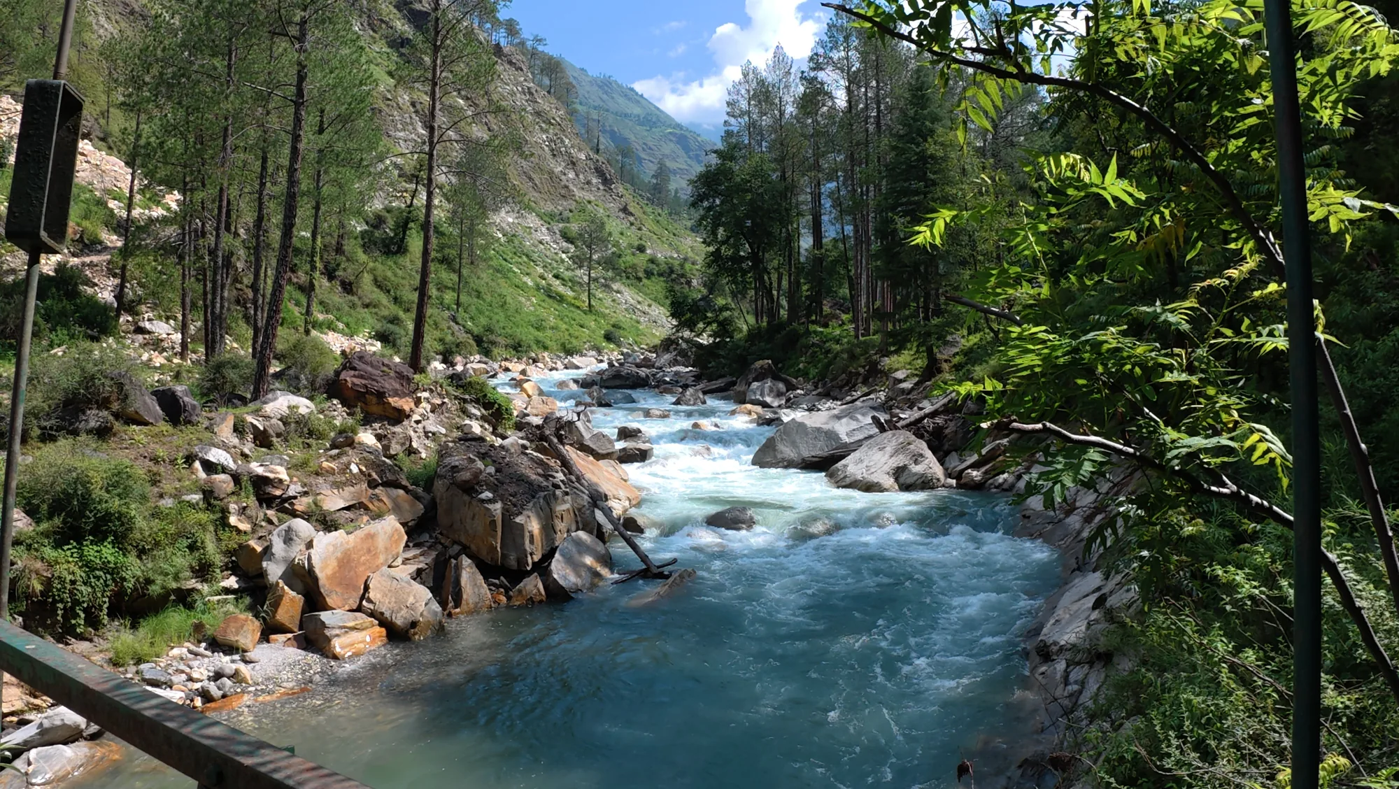
From Sewa, you trek along with Rupin river. We starts walking in apple orchards and then it enters into forest trail. The trail is covered with pine, oak, walnut, and so many bushes like ferns, golden flowers, etc. The distance from the Sewa to the Jakha is 17 km. Here the walking is continue along Rupin river till the road head. From here the roadway, you can also go till Jiskun with vehicle here.
As we reach the road, we need to go right and straight walk on road. Here we see the wide view of Rupin valley which have so many mountain villages. And now the rupin river is more turquoise more beautiful. On the way you will also get to see waterfall. Then after two villages, Jakha village is in view, it is also called the Hanging village, it is small village and settled on height. The Jakha village is literally incridibly beautiful.
Jakha to Dhanderas Thatch
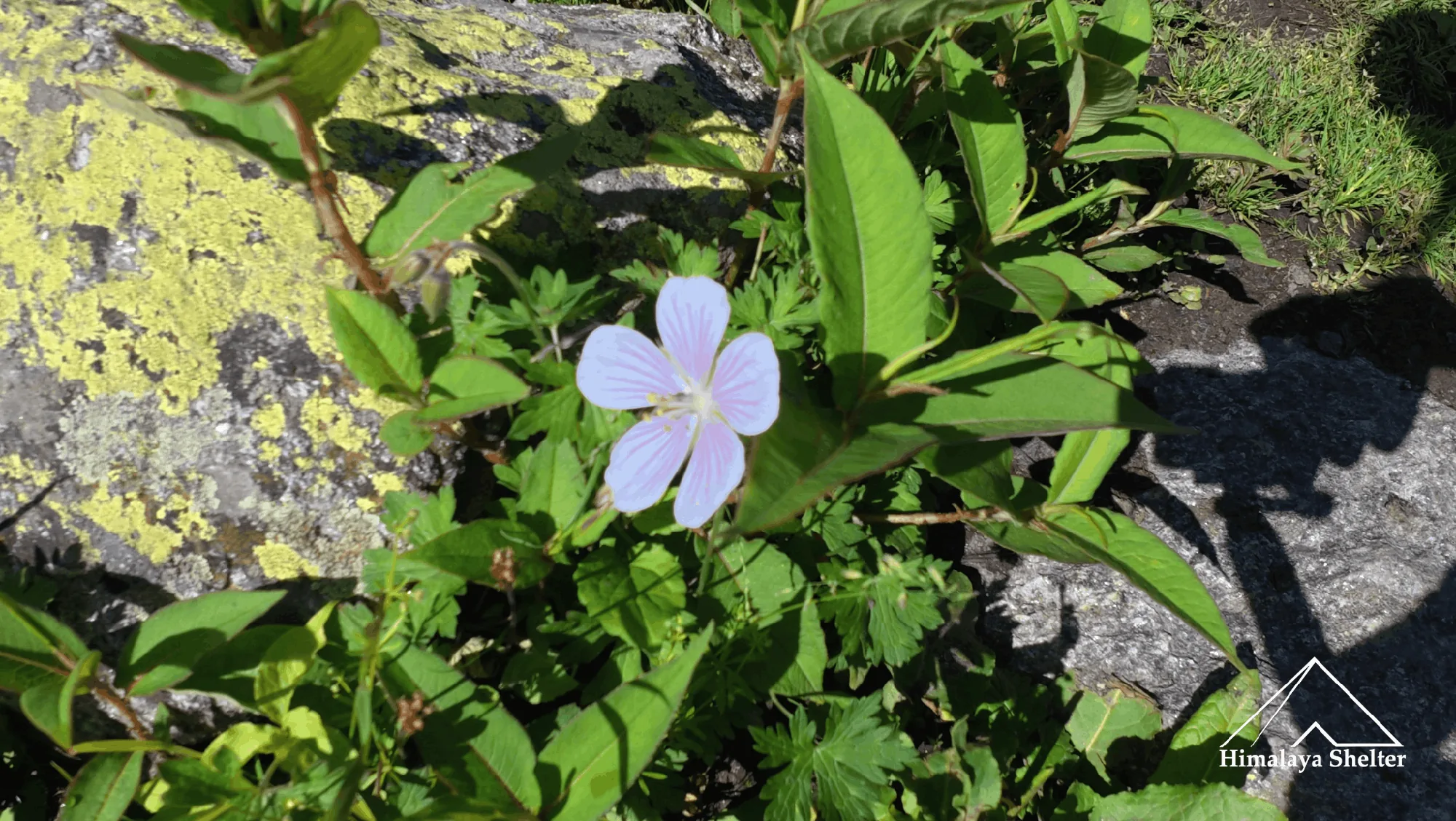
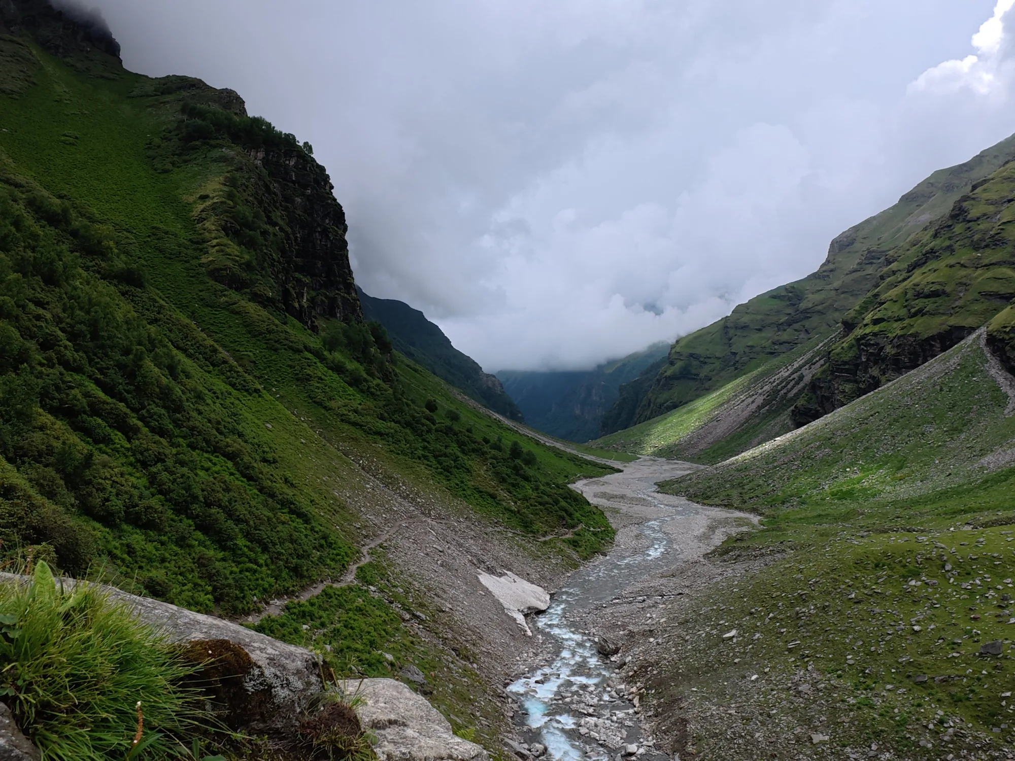
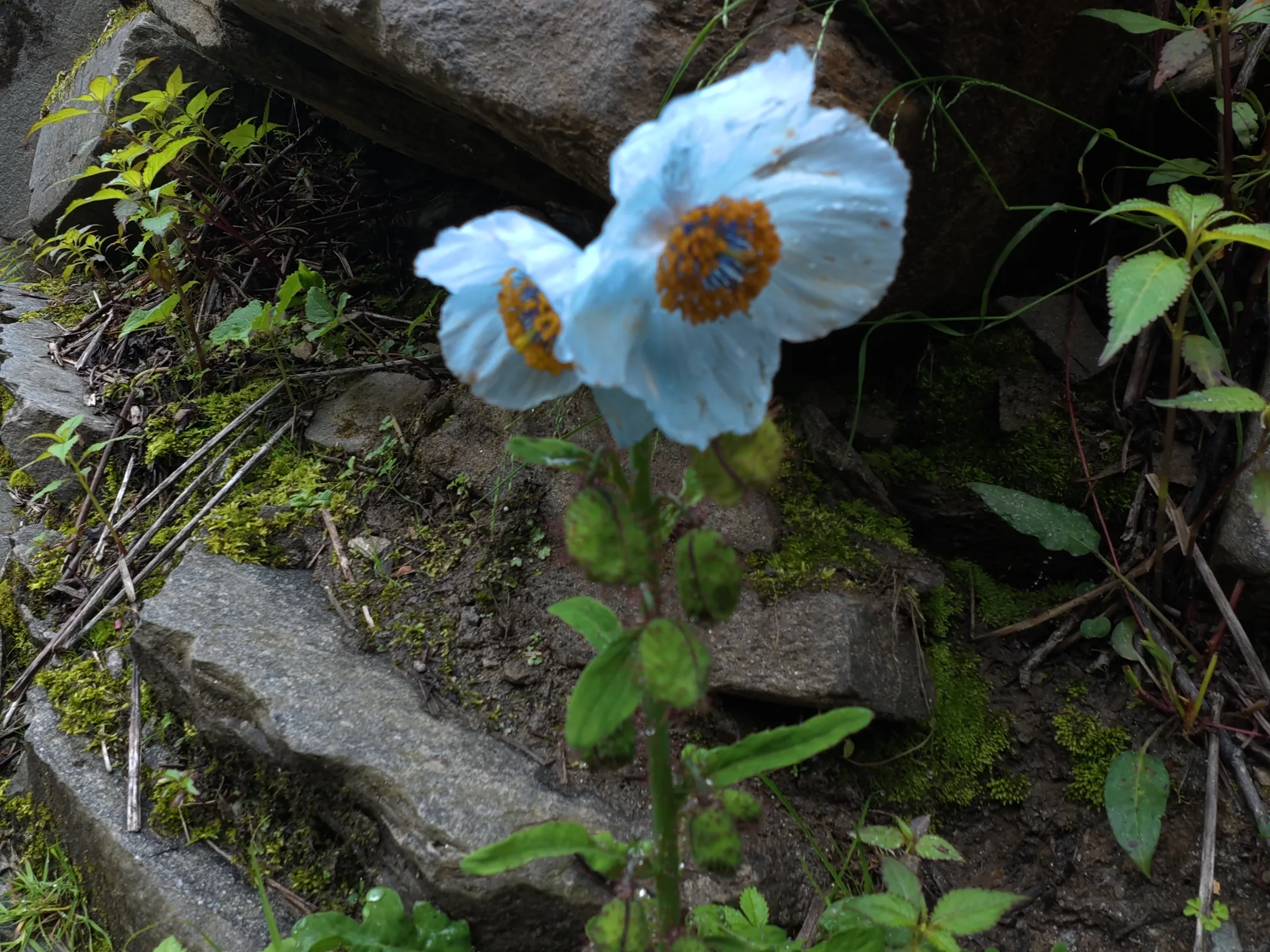
It is the day of transitions, Rupin Pass is the valley trek and also the pass trek, till Dhanderas thatch we walk into valley along with Rupin river. From Jakha first we trek along with farms of apple. Here the river is deep down into the valley but the roaring sound is still audible. After some walk, the trail enters into a forest of blue pine, oak, maple, birch, etc. During this way so many Himalayan wild flowers are also seen such as bistrota, balsam, himalayan blue poppy. This trail welcomes you with riverside windflowers, it is present on both sides of the trail. After the trek in deep and dark blue pine forest, the trail takes you down to Rupin river. There is one bridge here it needs to cross the river and the direction of the trail is completely changed; in other words the valley takes the turn. This place is called the Udaknaal.
Ever seen the valley take a turn, here the valley takes a turn in which you walk till the Buranskandi where you get the first glimpse of Rupin waterfall. And so many side waterfalls. Here you will see so many cows and cattles doing grazing. After some walk the trail reaches at altitude 3500 meters to Dhanderas thatch which gives wide beautiful views of Rupin waterfall lower and upper both and its surrounding approx 14 to 15 small waterfalls are there. Here the thatch means wide green meadow field.
Dhanderas Thatch to Upper Rupin Waterfall
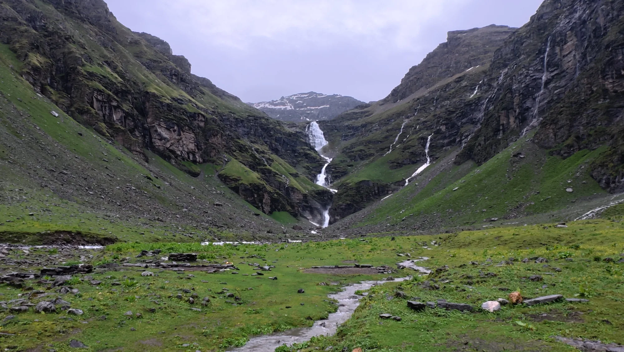
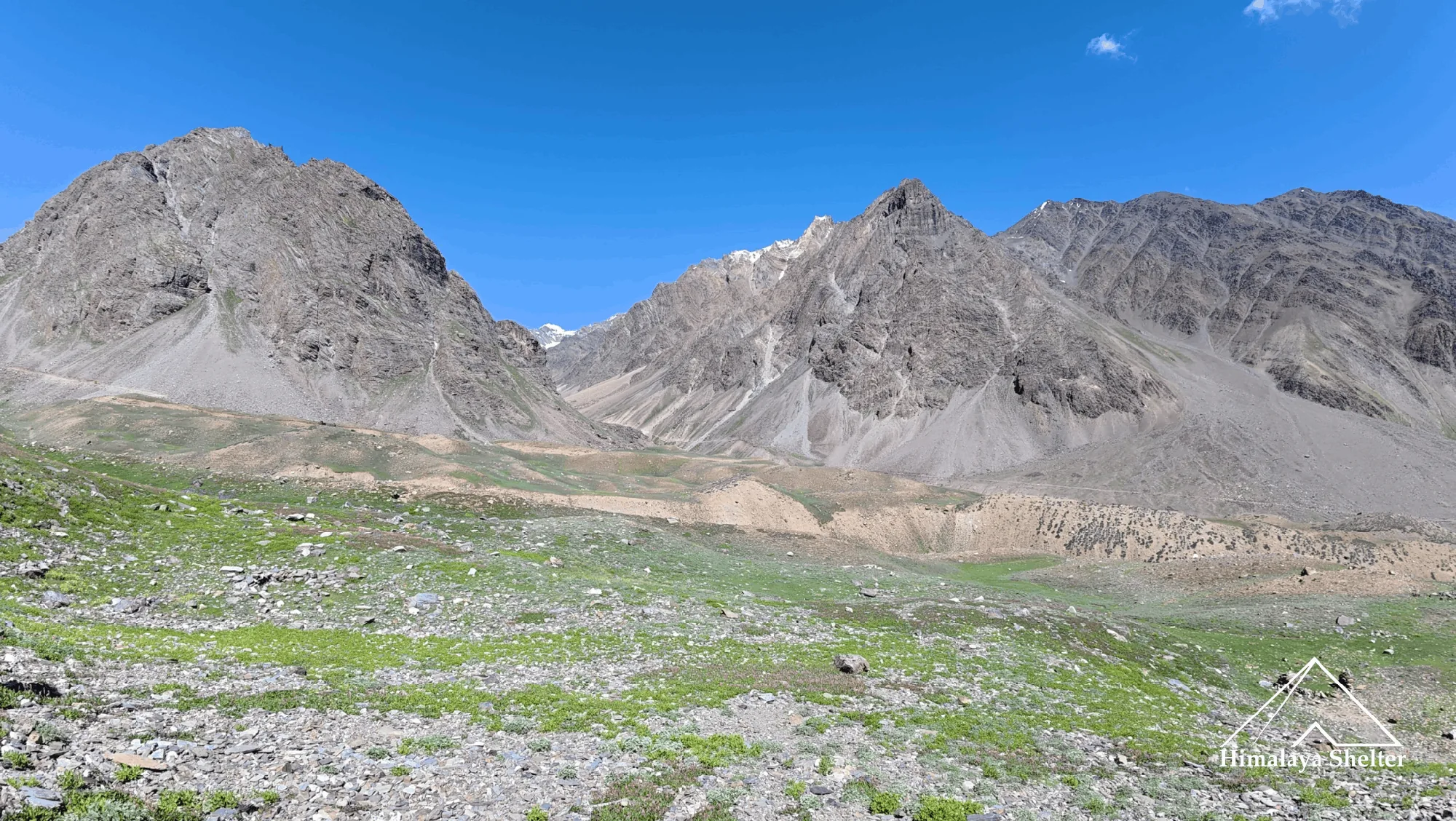
Now the rocky trail and steep climbs starts with the actual adventure and thrill. The trek starts with steep climb on big size moraines. First encounters with steep stream which needed to cross. Then the trail reaches on top of lower waterfall, from there if you see behind there is wide view of Rupin valley. Now here the extreme adventure is river crossing. From here after crossing the river after a steep climb you reach the Upper Rupin waterfall campsite which is at 4000 meter altitude and it is also a meadow field. From here the rupin pass is 4 km. Here the view are dark because here you are at 4000 meters so you will see big rocky mountains with snow patches and stream coming on from rocky slopes.
Upper Rupin waterfall to Rontigad via Rupin Pass
This is the day to cross Rupin valley and enter Sangla Valley. The trail from Upper Rupin Waterfall continues to ascend till the pass. Here the mountain teaches many things like fighting with frustration due to high altitude. The Himalayas are very sensitive mountains. The geography of the Himalayas changes suddenly. This time the rocks of the pass are broken so here are the chances of rock falling. It gives extreme adventure, it gives realisation that you are doing the Great Himalaya Trail.
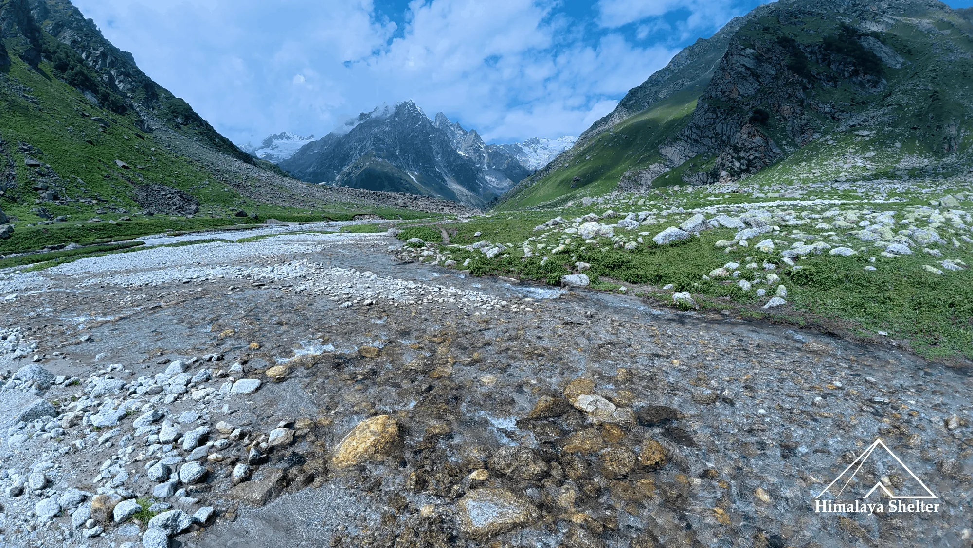
After crossing the Pass, there are different landscapes. After crossing the Rupin Pass, the Kinnaur Kailash range gives beautiful views. Now the trail is in Sangla Valley which is perfectly beautiful here. The trail goes through alpine meadows filled with Himalaya wildflowers and there are endless streams on the other side of the valley and your side of the valley. Here you will see many Gadi shepherds. And the Rontigad Campsite is very beautiful which is on upper valley.