Trekking apps: Find trails, satellite images, backpacking, and many more
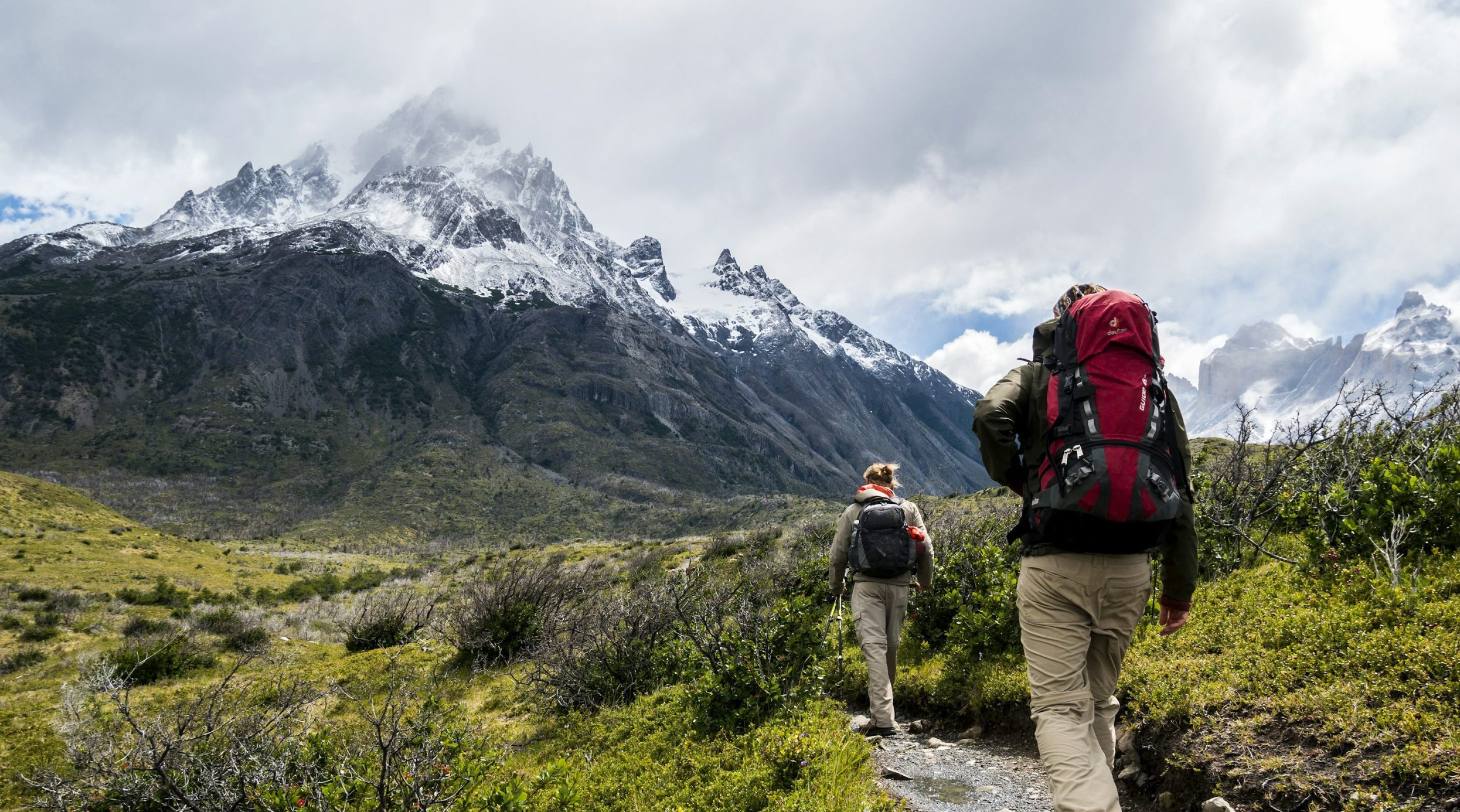
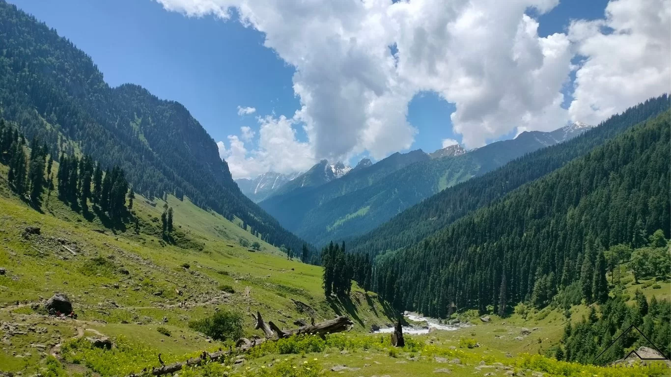
Trekking apps: Find Trails satellite images backpacking and many more an article to emphasize the right usage of technology. Trekking itself is a stimulating and sometimes very stiff sporting activity. Since you don’t want your entire trek to be hampered because of a wrong turn or a lack of proper directions, we bring to you the best five trekking apps. These are not only useful apps that make your trekking adventure even more exciting and interesting but at the same time useful for anything that may happen. It is now time to look into the specifics of each app and ascertain why these are essential tools in the arsenal of every trekker. This is an informative article as the name suggests:
These apps are my top 5 picks to help prepare for a trek
Here is the information regarding: Trekking apps: Find trails, satellite images, backpacking and many more.
1. PeakFinder
Why You Need It:
Usually, when one is in the mountains, one of the exciting things to do is to try and name the surrounding hills. Thus, PeakFinder is just the right application for this and also the reason for many traveller’s and climbers to appreciate it.
What It Does:
Thus, every user of PeakFinder can learn with a single click about mountain peaks in the area. In particular, by adopting the Second app feature, the names of the peaks appear on the smartphone’s camera screen in real-time when pointed at the horizon. It operates offline and therefore; it comes in handy when perhaps you are in the deep forests with no network showing you those beautiful hills.
Features and Benefits:
- Offline Functionality: Performs tasks without the need for the Internet. Consequently, before your trip download the required data and you are set.
- Augmented Reality: Given that the application employs a phone’s camera, the real-time peaks’ names are shown, making it interactive.
- Panoramic Views: Enjoy over 850,000 recorded peaks around the globe; for every mountain range from the Himalayas to the Rockies, you will be familiar with the look.
- Accurate Data: Incorporates information on every summit such as height, distance from your location, and other features.
Thus, PeakFinder is an excellent resource for both professional hikers and novices, as it provides an even more profound experience of the hike, making you more aware of the surrounding nature.
2. PackPoint Travel Packing List
Why You Need It:
Few things are as overwhelming as packing for a trek because there is always so much to pack, and you may not know where to start. PackPoint removes the uncertainty of what to take and what not to, where it is about clothes or accessories you might need on the trip, and what you do not need because they take up unnecessary space.
What It Does:
PackPoint allows you to pack smart by generating lists and updates that depend on the country, duration of the vacation, weather, and even the nature of the planned activities. It helps one pack perfectly and avoid procrastination, forgetting to pack some significant items.
Features and Benefits:
Customizable Lists: Always pack according to the hiking experience which could either be a day hike or a multi-day hike.
- Weather Integration: The app looks at the weather for the place where you are heading to, and removes items on your list that are not suited to the current climate.
- Activity-Based Packing: Select different activities including hiking, camping, or photography, and the app will recommend accessories of such a type.
- Shareable Lists: For those making a packing list it is easier to share the list with friends or trekking partners so that each one will be equipped properly.
As a result, the use of PackPoint makes packing to be less of a complex process that is full of stress as compared to streaming. This is because, with this app, you will be able to reduce the time spent worrying about what to carry in your adventure.
3. AllTrails
Why You Need It:
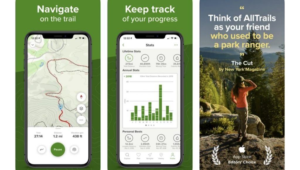
Adventuring in some way may be a bit challenging in different aspects, particularly in terms of trail finding. I have discovered that AllTrails is one of the best applications when it comes to discovering and navigating trekking trails thus the app should be part of any trekker’s pocket guide.
What It Does:
AllTrails is a helpful app, featuring maps of trails with an option of reading customers’ feedback, viewing pictures, and obtaining all the want-to-know information regarding certain trails. It assists you in finding new trials as well as in keeping track of what you have done and where you are in your destination.
Features and Benefits:
- Extensive Database: Get more than 100,000 trail maps from different parts of the world for simple and expert difficulty levels. Detailed Trail Information: Ways used to rate the trails: Trail difficulty, distance, and elevation gain as well as other users’ feedback to assist one in choosing a trail adventure. GPS Tracking: To track your progress and record the route, you should turn on the GPS tracking and set the appropriate path.
- Offline Maps: It is advisable to download trail maps and have a map stored in your device even in regions where there is no network.
AllTrails can be an excellent tool to use when preparing for and during your treks, to find new trails and be safer while there.
4. Komoot
Why You Need It:
This application is very suitable, especially for planning and following specific complex trekking itineraries. With the torque functions it provides a sturdy value for new and professional trekkers in the same trekking experience.
What It Does:
At Komoot, you have an opportunity to find route suggestions and navigation that will meet the specifics of trekking. We develop the trekking schedule, taking into account the client’s fitness level, the type of trail, and other factors.
Features and Benefits:
- Route Planning: Make special routes about the level of fitness you are, and the kind of terrains that you would like to tackle among others. This leading app offers map directions that make the entire process of trekking as smooth as possible.
- Voice Navigation: A mobile application for cyclists has a voice guidance feature that enables one to be conversant with the trail while his/her hands remain on the bike handles.
- Community Insights: Combine the advantages of a navigation app and social platform to discover the most exciting tips and inspirational photos of trekking enthusiasts.
- Offline Maps: When you’re in an area with no internet connectivity, you should download maps for use instead.
Komoot’s detailed planning features and user feedback are tremendously helpful for any trekker who is seeking a new trail and wants to avoid getting lost.
5. Gaia GPS
Why You Need It:
Proactively, for the serious trekkers and adventurers, Gaia GPS comes with other additional features that are so much essential for mapping such tough terrains as follows;
What It Does:
Gaia GPS gives you an accurate topographic map, satellite imagery, and other options and layers to enable you to plan and cover your hikes. It is very suitable for; Exploring unknown places; and it guarantees not losing the track you are on.
Features and Benefits:
- Detailed Maps: Maps are available in many types; topographic, satellite, and road maps depending on the trekking preferences.
- Route Planning: Identify your waypoints, follow your planning, and record it, they can also store your routes for future use.
- Offline Access: Save maps and routes for offline so that when in regions that you do not have connectivity to your phone such as when going up mountains, you can be able to complete the route.
- Tracking and Sharing: Log your hike, mark checkpoints, and upload your paths for others or other hikers to see.
Gaia GPS provides precise maps and directions for adventurers in dangerous and deserted areas to ensure their safety.
this is everything you need to know about Trekking apps, Find trails, satellite images backpacking and many more
Conclusion
With these five defining trekking apps in your backpack, you’ll be battle-ready to conquer any odds the moment they present themselves. All of them have their peculiar characteristics and thus they help to improve your journey, its conditions, and outcomes. Thus, download these apps, put on your best hiking boots, and set out for your next grand hiking experience.
Extensive Database: Get more than 100,000 trail maps from different parts of the world for the simple and expert difficulty levels.
Detailed Trail Information: Ways used to rate the trails: Trail difficulty, distance, and elevation gain as well as other users’ feedback to assist one in choosing a trail adventure.
GPS Tracking: To track your progress and record the route, you should turn on the GPS tracking and set the appropriate path.
