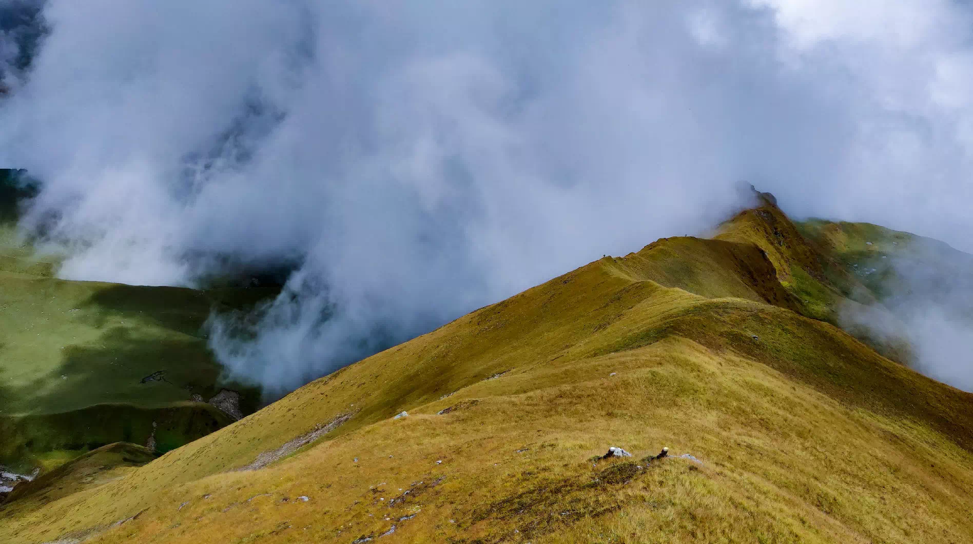
The Gidara Bugyal meadows stretch over 5 KM wide.
Drive: 188 km, 8-9 hrs
Trek: 1 km, 30 min
Altitude: 2,100 ft (640 m) – 7,550 ft (2,301 m)
Accommodation: Guest House/Homestay
Meals: Dinner
We drive from Dehradun to Bhangeli, and check into a cozy homestay at Bhangeli. After having healthy and wholesome dinner, get ample rest so that you can get prepared for tomorrows trek.
Trek: 5 km, 4-5 hrs
Altitude: 7,550 ft (2,301 m) – 10,950 feet (3,337 m)
Accommodation: Camping (Alpine Tents)
Meals: Breakfast + Lunch + Evening Snacks + Dinner
A short trek with gradual ascent to the Rikoda campsite. The trail will get steeper close to the campsite.
Trek: 5.5 km, 5-6 hrs
Altitude: 10,950 feet (3,337 m) -12,200 ft (3,718 m)
Accommodation: Camping (Alpine Tents)
Meals: Breakfast + Lunch + Evening Snacks + Dinner
Today the trek distance is slightly more than previous day as well as the terrain requires initial decent followed by ascent and then
final descent to the campsite.
Trek: 9 km, 7-8 hrs
Altitude: 12,200 ft (3,718 m) – 13,900 ft (4,237 m) – 10,750 ft (3,277 m)
Accommodation: Camping (Alpine Tents)
Meals: Breakfast + Lunch + Evening Snacks + Dinner
Longest trekking day, we summit the Gidara Top via bugyal in 3 to 4 hours, another 4 hours to descend to the campsite.
Trek: 6.5 km, 3-4 hrs
Drive: 30 km, 90 min
Altitude: 10,750 ft (3,277 m) – 7,550 ft (2,301 m)
Accommodation: Hotel/Guest House
Meals: Breakfast + Lunch + Evening Snacks + Dinner
We trek to Bhangeli in around 4 hours time and drive in another hour and a half to Maneri, visit Gangnani on the way.
Drive: 155 km, 7 hrs
Altitude: 7,550 ft (2,301 m) – 2,100 ft (640 m)
Meals: Breakfast
Trip Ends – arrive in Dehradun between 4 & 6 PM
The drive to Dehradun will take at most 7 to 8 hours and we can return in the late afternoon or even early evening.
Gidara Bugyal Padayatra is in the Uttarkashi district of Uttarakhand, India. It is one of the least explored summer hikes in the region.
Mount Gidara is an impressive 3,900 meters (12,780 feet) above sea level.
The best time to visit Gidara Bugyal is in the months of May, June, and September. In September, the road and nearby peaks are snow-free and wild with post-autumn flowers. The weather is also brighter in early September.
Gidara Bugyal trek can be described as an easy to somewhat challenging trek. The total distance is about 29 kilometers. The maximum altitude of the trek is 3,900 meters (12,780 ft) at Mount Gidara, while the desert begins at an altitude of 3,700 meters (12,140 ft) The trek can be completed in days 4 for the 2-day trip. This time allows travelers to explore Harsil on the last day before heading to Dehradun.
Gidara Bugyal is 20 km from the famous Dayara Bugyal.
Essentials include sturdy walking shoes, warm clothing, rain gear, sleeping bags, sunscreen, sunglasses, water bottles, snacks, first aid, and photography An amazing recording device
Yes, a permit is required for the Gidara Bugyal trek, as it passes through protected forest areas. These permits can be obtained from the Forest Service or authorized road agencies.
Although the trails are well marked, hiring a local guide is recommended for guidance, safety and exploring the local flora and fauna culture Guides also ensure a smooth adventure, especially for eaters first walk in the area.