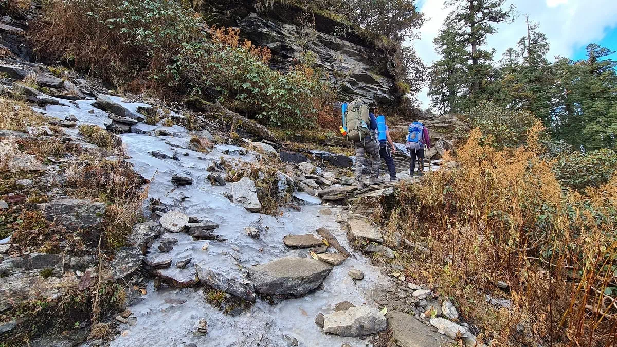
Crossing a Stream in the autumn month on day 2 of the Fachu Kandi trek
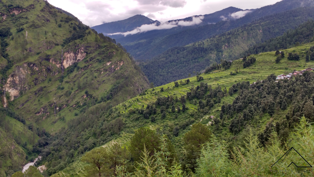
We start the journey early from the city of Dehradun and drive initially to the queen of the hills – Mussoorie. Consecutively we cross Kempty Falls, known for its waterfall. After Kempty we rarely encounter any tourists and either the locals or trekkers or those headed to Yamunotri are our only companions.
After just over 100 km, we pass close to the temple of Lakhamandal. According to locals, Duryodhana of the epic Mahabharata conspired to burn the Lakshagriha house of the Pandavas around this area. We continue on the banks of river Yamuna, until Naugaon, from where the roads forks into two, with the right headed to Yamunotri & the right towards Sankri. Purola is the last big settlement on the route with a large market. So, it is recommended that the trekkers can buy anything they might have missed out by Purola itself. It also is the last village where most of the mobile networks work.
The arrival of Mori, where you will find the last ATM, is preceded by a beautiful drive along the river Tons, through a straight strecth of road running parallel to the river. The river Tons flows beside us till about Netwar. We enter the wildlife sanctuary (Govind Pashu Vihar) at Netwar. Tiuni, located not far from here, habors the confluence of the rivers of Rupin and Supin to form Tons. The peak of Kedarkantha can be seen from various points along the way from here.
We reach Sankri by early evening. It is a small village with a central market lined with a few shops. The village has numerous apple orchards which are harvested starting from late summer. The market area is new compared to the old village area, a part of which is known as ‘Saud’. We drive a KM towards Kotgaon by taking a road headed uphill, right to the village of Sankri. The views from Kotgaon are panoramic.
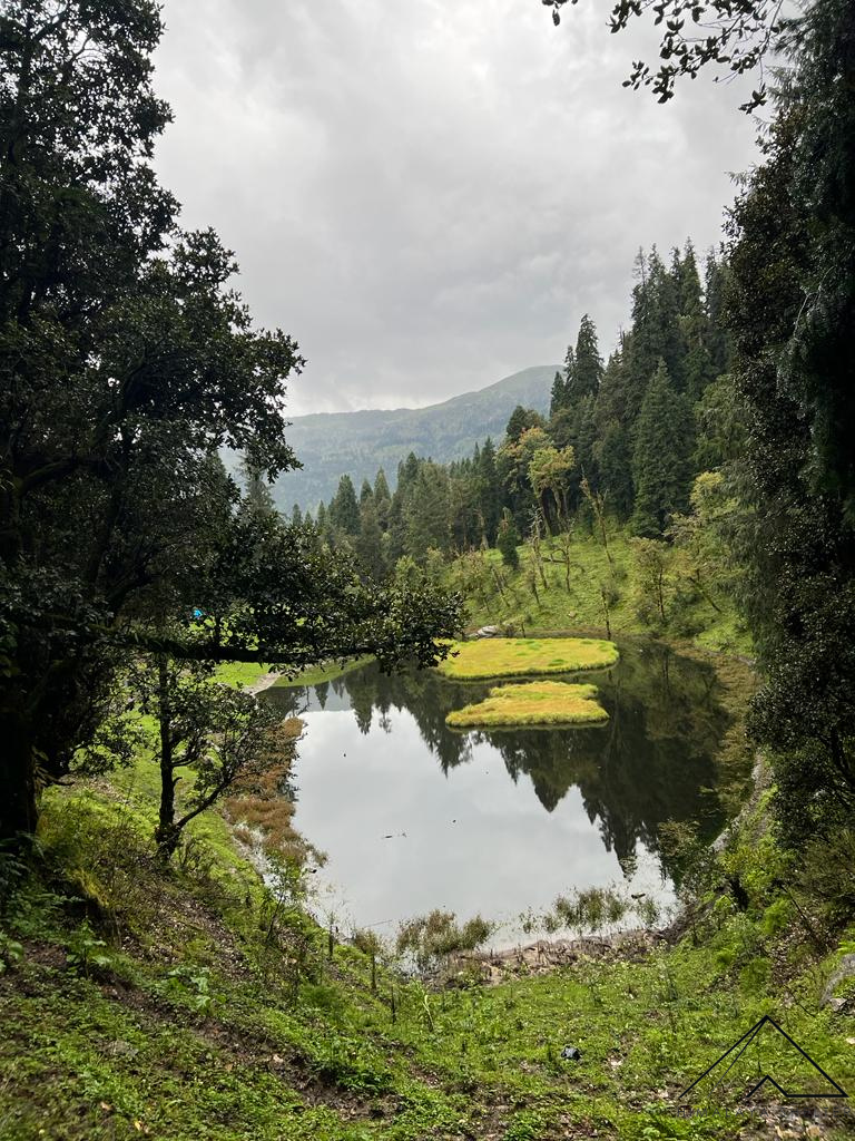
Our trekking journey starts from Kotgaon after a walk to Sankri from where we continue heading inwards towards the Saud (Saur) village and after a walk of approximately 1 km from Sankri, take a right turn towards the trail headed to Kedarkantha. The trail is steep from here, all the way up to Juda ka Talab. We come across tea stalls halfway through the journey and cross a stream which can be used to fill your water bottles.
The trek is through dense forests of pine and the trail is well marked. We camp either at Juda or slightly ahead of Juda Talab. The path diverges into two from the Lake, with the left heading towards Phulara and the straight one heading towards Kedarkantha. We take the trail to the left.
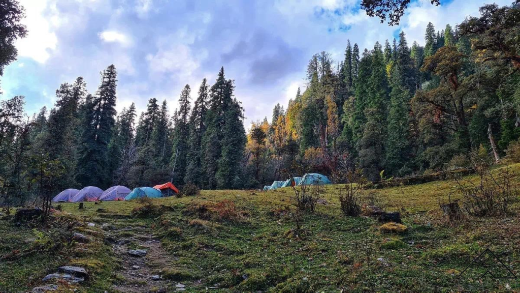
We continue on this eastward trail to Bhoj Gadi, through the dense pines. After almost 2 KM we cross a stream where a broken bridge can be seen. We can use this stream to fill water bottles and take a short break here. After another 20-30 min of walking we come across a small clearing, before loosing the sight of the trail again in the forest.
The ridge that can be seen to our right, connects Pushtara meadows all the way to the Kedarkantha peak, and is knowns as Phulara Ridge. One can even summit Kedarkantha and follow this ridge to Bhoj Gadi, which is slightly below the ridge. We trek one section of this ridge on our way to Pushtar Meadows. The ascent from Juda to Bhoj Gadi is more gradual than day 1.
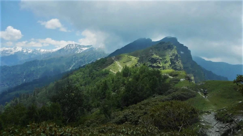
After a climb of 20-30 mins from Bhoj Gadi campsite, we reach the ridge top, from where we simply follow the astounding trail to the east, all the way to Pushtara Meadows. It is an easy day with very little ascent. The day can be well utilised to enjoy the beauty of the ridge with panoramic views on its either sides. We can even see Kedarkantha from here.
The trek today is short and we split the journey to the Fachu Kandi pass in order to acclimatize to high altitude. The trek can be covered in 3 hours at a comfortable pace.
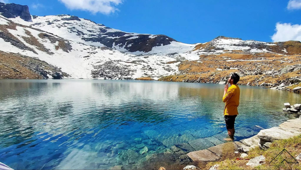
Saru Tal is an alpine Tarn, situated at an altitude of 4,150 meters. It is a small lake with a ridge surrounding it on one side, similar to Roopkund, although not in as grandeur setting. Yet the beauty and solitude that this lake provides, is bound to leave you speechless. Wild grass and flowers bloom alongside this lake in summers.
The trek can be challenging for some, as the high altitude leads to lack of oxygen in the atmosphere, and each steps becomes slightly more difficult. It is important to find a steady but comfortable pace. The journey is not very long, so it isn’t required to rush through any stretch. We can camp near the lake, but with caution, so as to not damage these fragile environs in any way.
The ascent to the pass from Saru Tal is short but steep. We are required to gain an altitude only around 140 meters vertically, before we start the descend and the trek henceforth becomes easy, as we no longer struggle with the altitude. The pass takes under an our to reach even at a slow pace. The views from the top are magnificent. The long walk down to Leka Dogri is at places gradual, while at other times it is a steep descent. We rest midway to eat our packed lunch. Arriving at the camp in this secluded forest, by late afternoon, we can spend rest of the day exploring the floral surroundings.
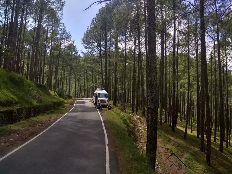
The trek to Fachu Kandi pass concludes today as we leave for Hanuman Chati, which is downhill. After covering the stretch in under two hours, we take the vehicle back to Sankri.
 Team crossing a frozen Himalayan Stream on the way
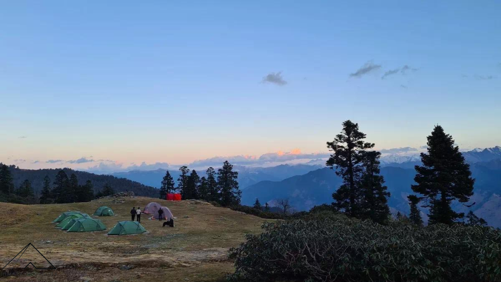
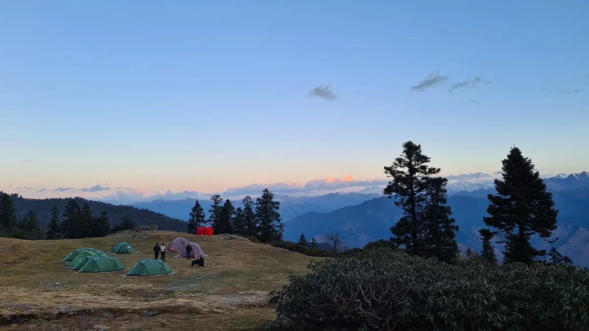 Spectacular campsite offers spectacular views and must required rest
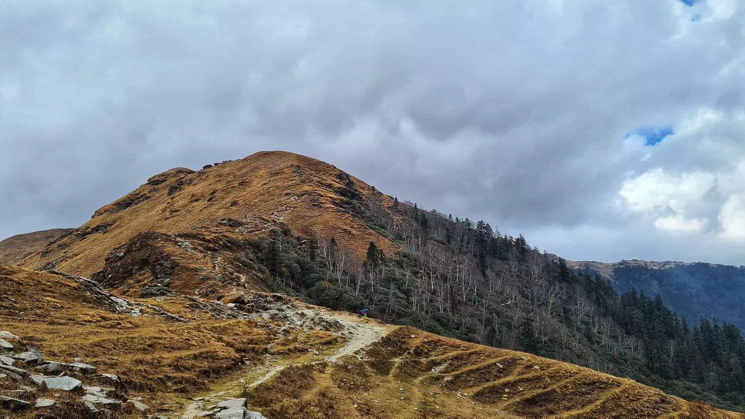 Mother Nature in Autumn colours
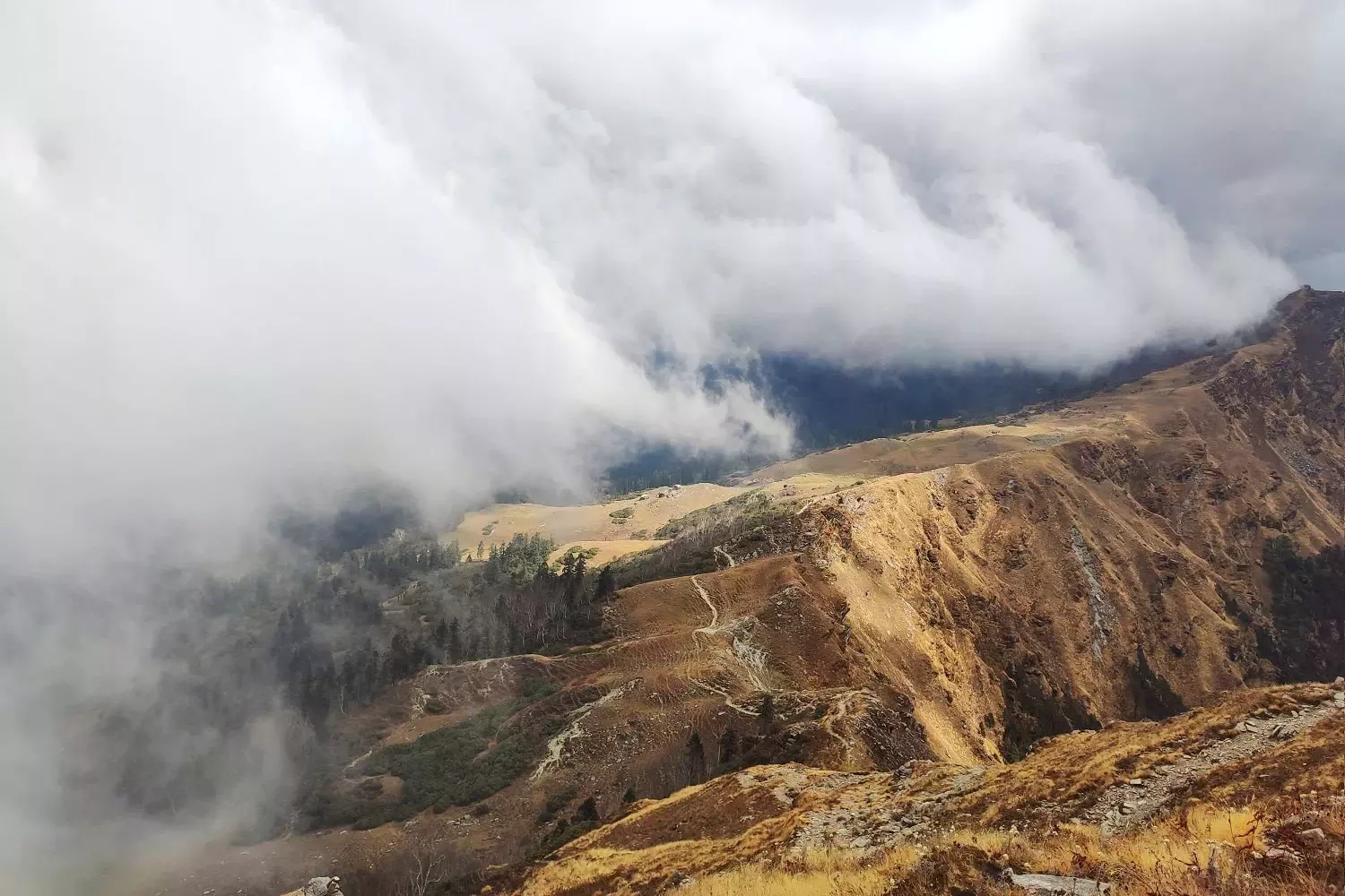 The trek which remains lush green in monsoons get coverd in golden brown colors in Autumn
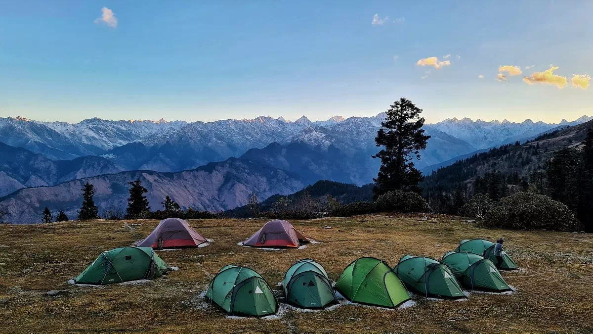 Who would not like to enjoy the Himalayan mountain peaks view while staying at this wonderful campsite?
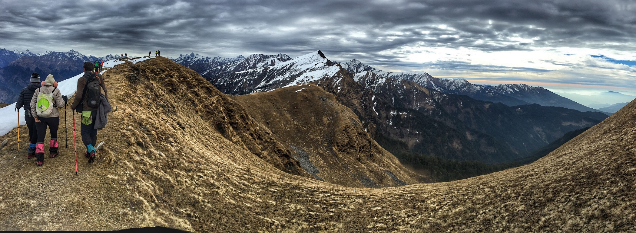 Panaromic view of Phulara Ridge in Autumn
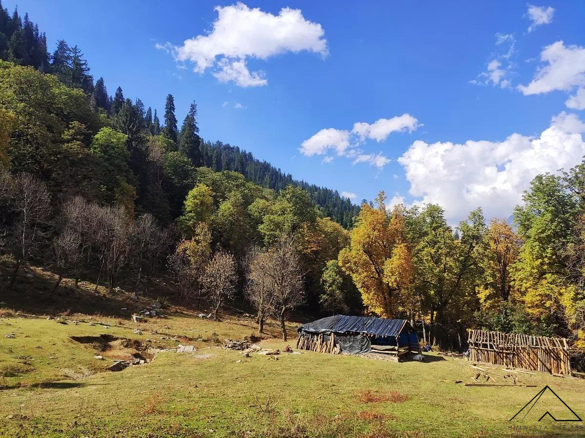 In the lap of mother Nature, simple shelters provide more comfort than levish stays; Isn't it?
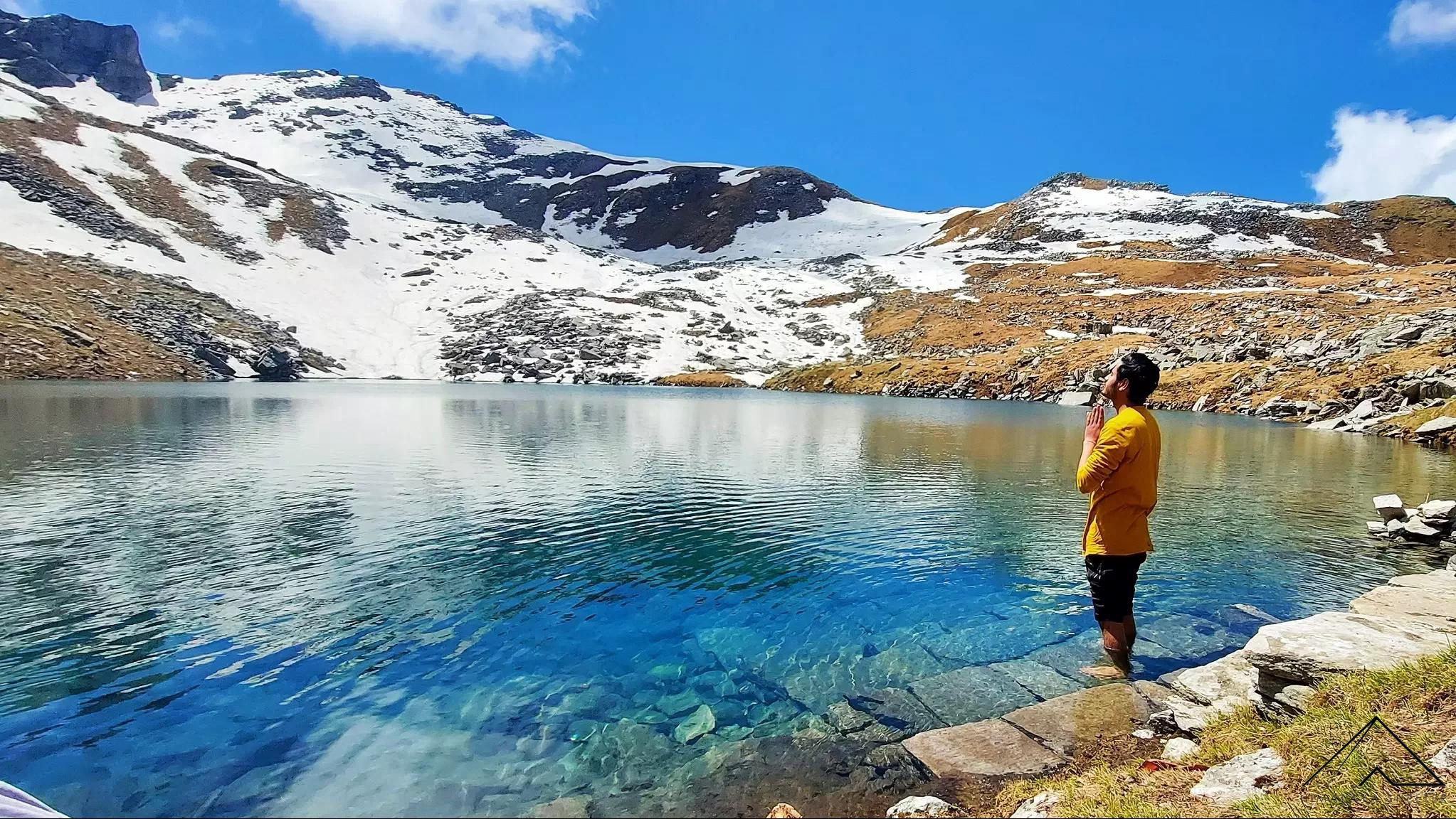 Mesmerising Saru Tal. You can choose to go for the trek of this lake separately.
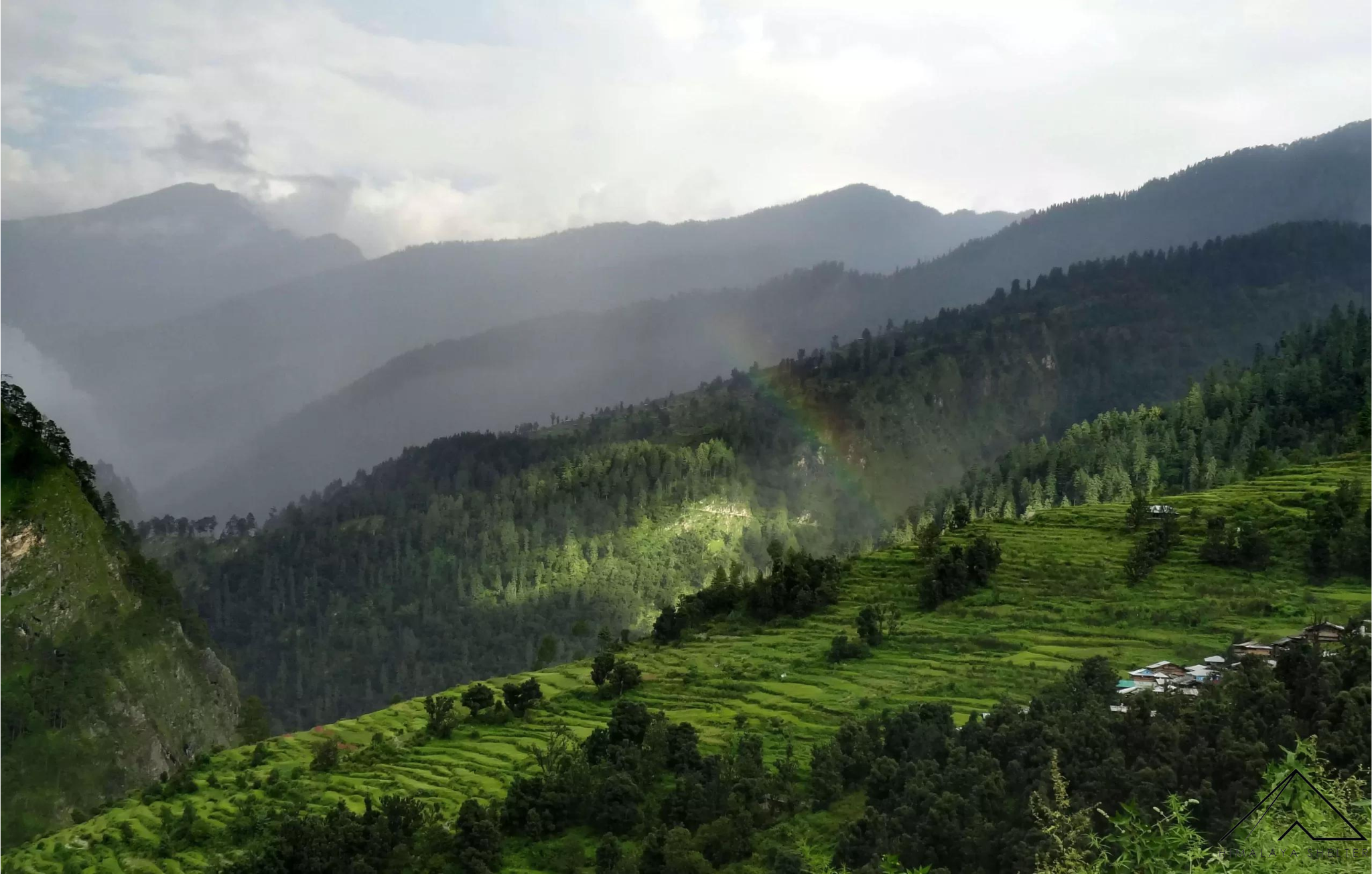 Rainbow over Sankri Village. Himalayan Vilages are blessed ones.
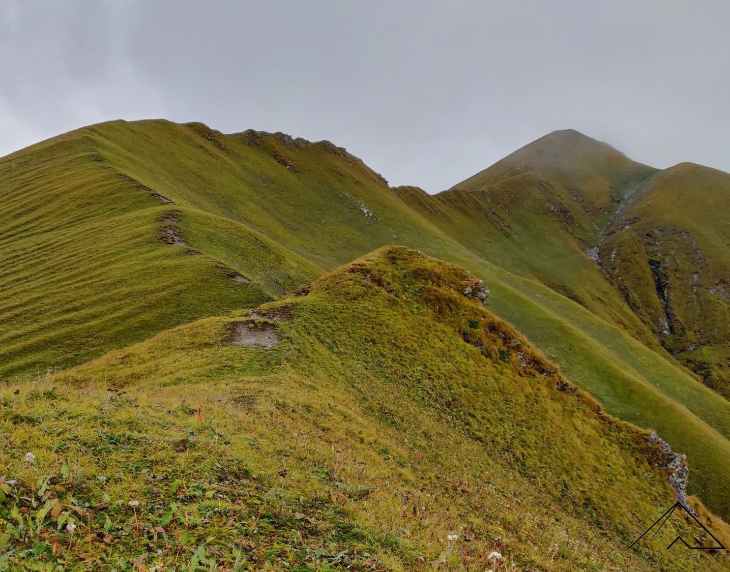 On the way to Fachu Kandi Pass
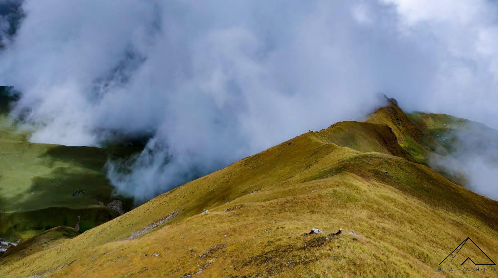 On the way to Fachu Kandi Pass
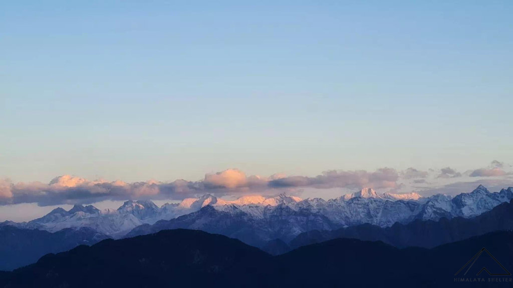
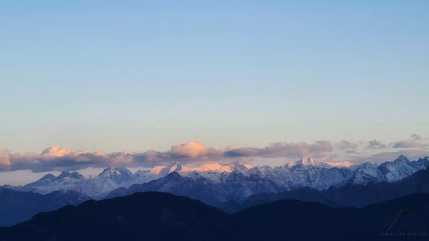 Mountain peaks appearing from the campsite


Mobile Network is available at Sankri, inclduing BSNL and JIO. JIO works much better.
During the Fachu Kandi trek partial connectivity may be available at the Phulara Ridge for a short while on Day 4.
Network will be available from Hanuman Chatti after that on the 8th Day
Electricity is available in Sankri. After Sankri there will be no electricity for the next 6 Days and thus you need to carry powerbanks to charge, phone or camera batteries.
ATM’s are available at various towns on the way to Sankri with the last being at Mori. Often the ATM’s do not have cash ahead of Dehradun, thus withdraw cash preferably from Dehradun.