Drive: 226 km, 7-8 hrs
Altitude: 2,100 ft (640 m) – 6,561 ft (2,000 m)
Accommodation: Homestay/Guest House
Meals: Dinner
We start early and drive through the towns of Devprayag and Rudraprayag to reach Sari village. The route follows the river Ganges till Devprayag, the confluence of Alaknanda and Bhagirathi. From here, we follow Alaknanda till Rudraprayag, where Alaknanda and Mandakini merge into one. Rudraprayag has been mentioned in the book ‘The Man-eating Leopard of Rudraprayag’ by the famous big cat hunter Jim Corbett. He managed to hunt down the leopard which had killed about 125 people in the area. The river Mandakini is followed upstream from here. We reach Sari by early evening. Overnight in tents near the village.
Trek: 3.5 km, 3-4 hrs
Altitude: 6,561 ft (2,000 m) – 7,972 ft (2,430 m)
Accommodation: Camping (Alpine Tents)
Meals: Breakfast + Lunch + Evening Snacks + Dinner
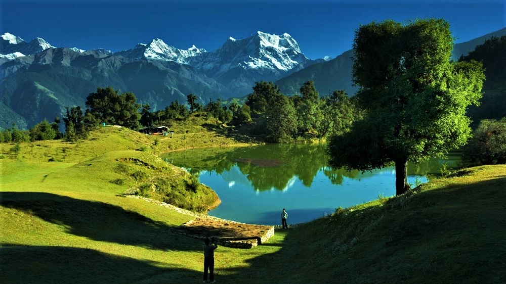
On this day, we embark on the trail, up the hill to Deoria Tal. The pretty walk through rhododendrons takes one to the ridge above the village. Deoria Tal is a small lake with a meadow beside it. The view of the mountain ranges from here are fabulous. The Chaukhamba massif gets reflected on the clear water at times. Since, the trek is short, one can spend the day soaking in the peaceful forest environment and can also go for short walks around the lake.
Trek: 16 km, 7-8 hrs
Altitude: 7,972 ft (2,430 m) – 8,556 ft (2,608 m)
Accommodation: Hotel/Luxury Tents
Meals: Breakfast + Lunch + Evening Snacks + Dinner
The walk on this day is fairly level and through some beautiful forest and meadows. The trail starts from the forest department cottages near Deoriatal. It enters the forest and soon reaches close to a ridge from where the village of Sari is visible far below on our right. We enter the forest again from here. The rhododendron flowers here bloom in spring and one gets the feel of walking through a park. The colors range from red to various shades of pink. If we are trekking in the winter months, some snow can be present in the shadowy areas. There are two camping options, either camp short of Chopta near a stream, or at the meadows below the shops at Chopta.
Trek: 8 km, 5-6 hrs
Altitude: 8,556 ft (2,608 m) – 12,073 ft (3,680 m) – 12,960 ft (3,950 m) – 8,556 ft (2,608 m)
Accommodation: Hotel/Luxury Tents
Meals: Breakfast + Packed Lunch + Evening Snacks+ Dinner
We start early today. Form the picturesque environs of Chopta, we take the path through the arch leading up to the temple. The path is a paved one having handrails at places. At times, one can catch a glimpse of the monal bird in the forest on the left side of the path. Monal is type of pheasant and the state bird of Uttarakhand. Tungnath is a short 2 km trek from Chopta. The temple is only visible in the last few hundred metres. After a visit to the age old temple, we head up to the peak. Soaking in the stunning panoramic view of the Himalayas from Chandrashila, we begin heading down to Chopta and reach by late afternoon.
Drive: 205 km, 7-8 hrs
Altitude: 8,556 ft (2,608 m) – 2,100 ft (640 m)
Meals: Breakfast
On this day, we can visit Omkareshwar temple in Ukhimath. It is the winter abode of the idol of Kedarnath temple. We drive back to Dehradun and reach by early evening.
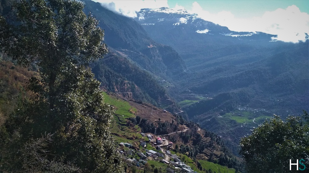 Spectacular views of the Sari village and Chandrashila Trek. En route Deoriatal.
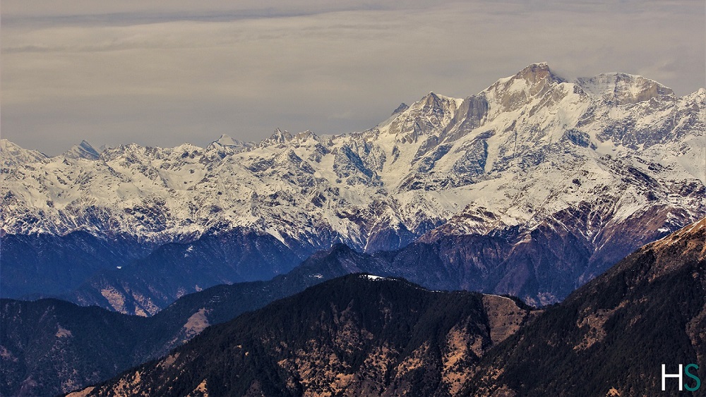 Specatcular Himalayan Mountain Views
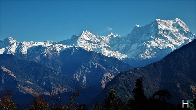 Snow Capped Himalayas appearing from the trek
 Deoriatal Lake en route Deoriatal Chopta Chandrashila Trek
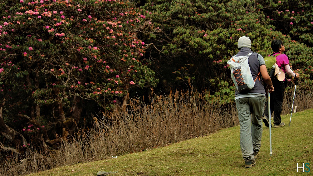 Beautiful Himalayan Meadows/Bugyals en route Deoriatal Chopta Chandrashila Trek
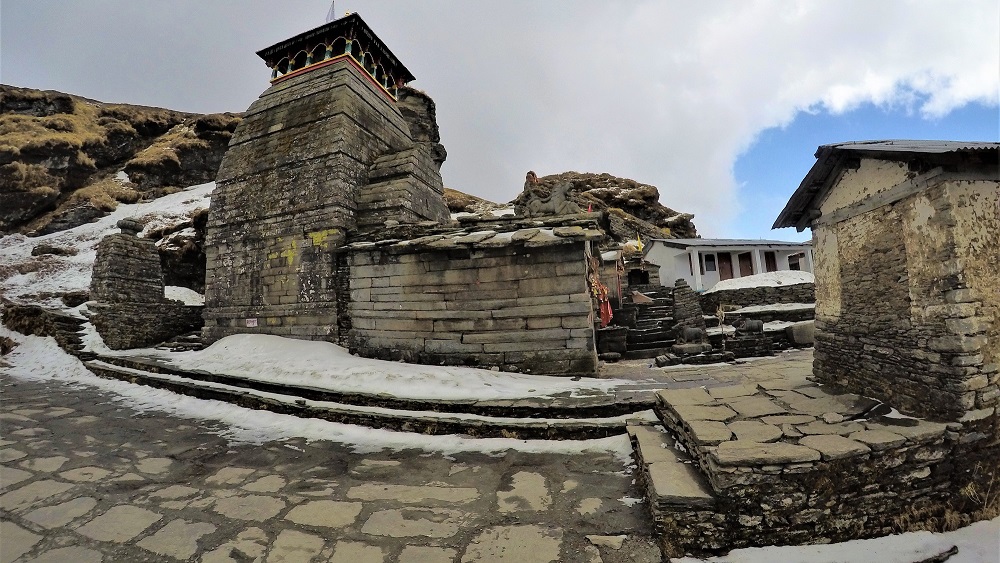 Tungnath Mahadev Temple; Deoriatal Chopta Chandrashila Trek
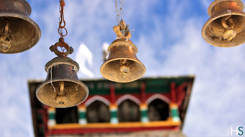 Divine Tungnath Mahadev Temple; Deoriatal Chopta Chandrashila Trek
 Tungnath Temple is the highest Shiva Temple in the World; Deoriatal Chopta Chandrashila Trek
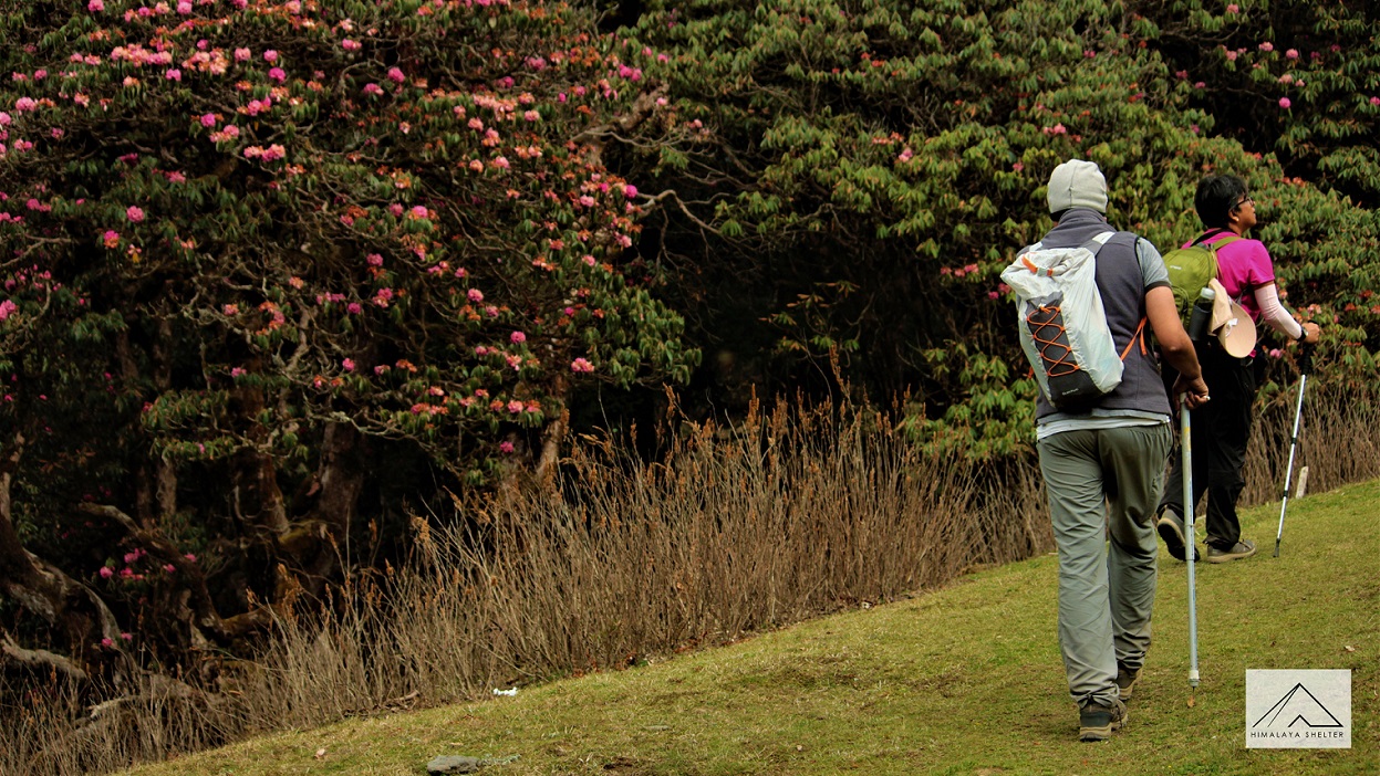 Beautiful Himalayan meadows en route Deoriatal Chopta Chandrashila Trek
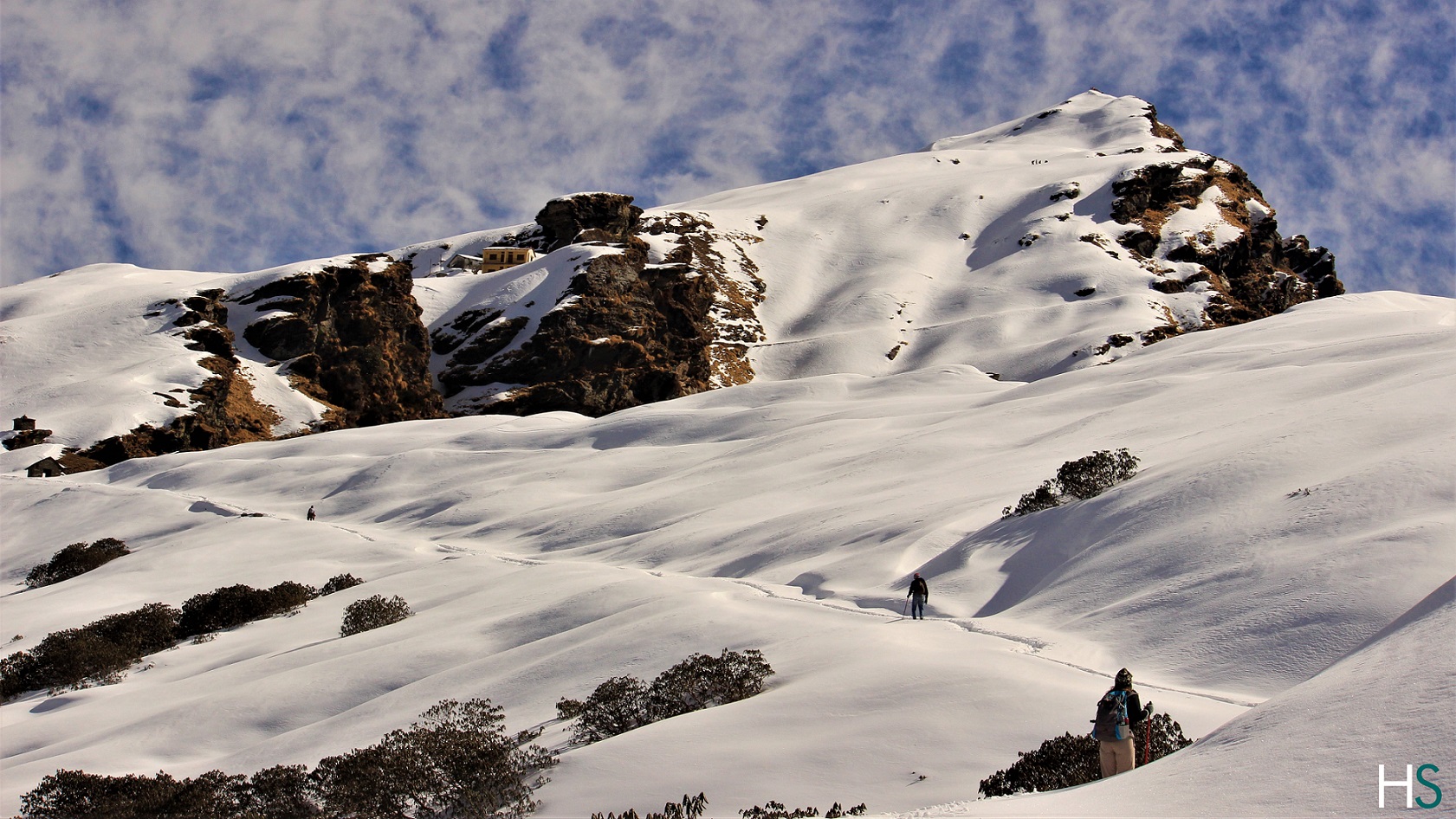 The snow covered trail leading towards Chandrrashila, the highest point of this Deoriatal Chopta Chandrashila Trek
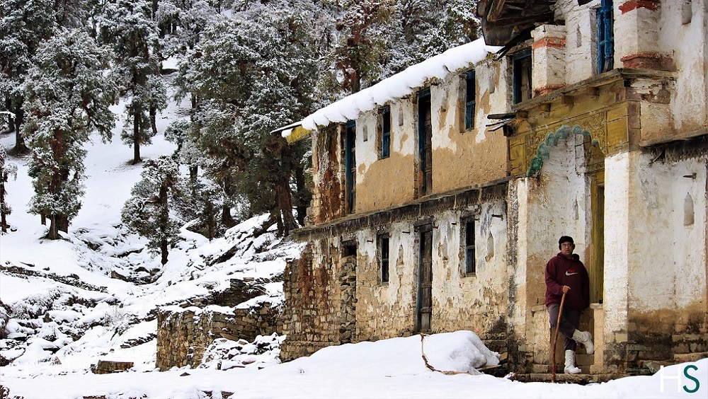 Passing through the local villages and observing the village culture; Deoriatal Chopta Chandrashila Trek
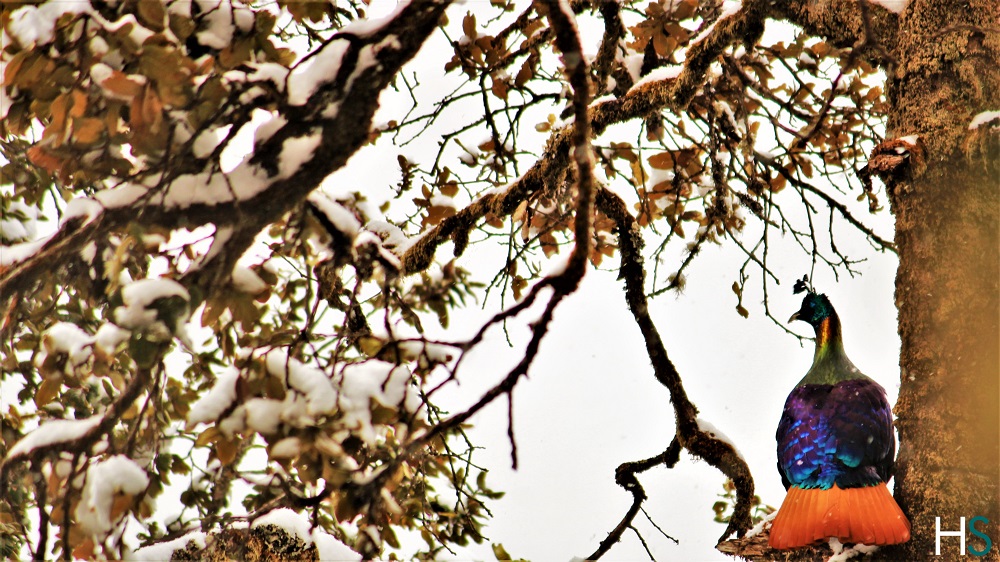 Himalayan Monal Pheasant and Fresh snowfall over the trees, Chopta Chandrashila Trek. Monal Pheasant is a State Bird of Uttarakhand
 Omkareshwar Temple at Ukhimath; En route Chopta Chandrashila Trek. The sacred Omkareshwar temple serve as a winter abode of Lord Kedarnath.
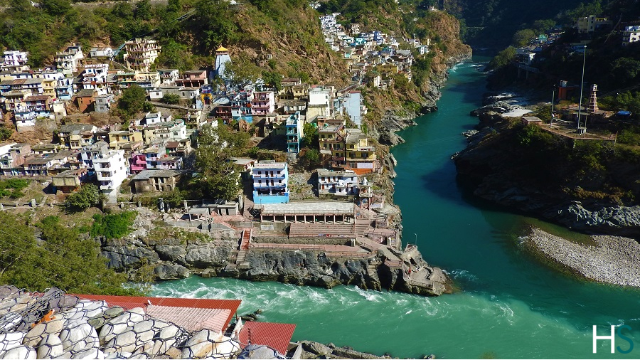 During your journey through the beautiful Himalayan Roads you will pass by one of the Panch prayags
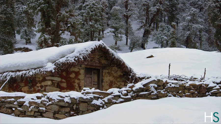 A small hut en route Deoriatal Chopta Chandrashila Trek
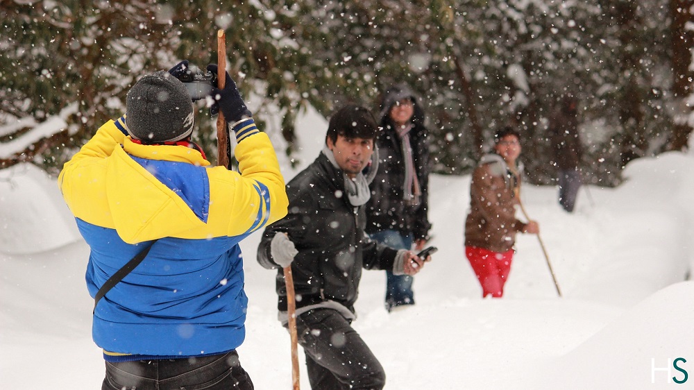 Trekkers enjoying fresh snowfall en route Deoriatal Chopta Chandrashila Trek
Spring and autumn.
Ukhimath is where you’ll find the last ATM
Electricity is luckily available at base camp Sari.
Ukhimath is the nearest hospital. Ukhimath is almost an hour’s drive from Baniyakund.