The base camp of Buran Ghati is Janglik, located approximately 150km from Shimla. It as an old Himalayan village with limited Airtel network.
The road from Shimla to Janglik is scenic with its winding roads, wheat fields, Himachali houses. The flowing Pabbar river joins you at Rohru. Rohru is the last place where you can find an ATM.
Just after Chirgaon, you take a left turn to climb a dirt track. Two hours later you reach Tangnu and its pine forests. Driving past a police check post and a broken bridge, the car will drop you at Diude. The walk to Janglik from Diude is short.
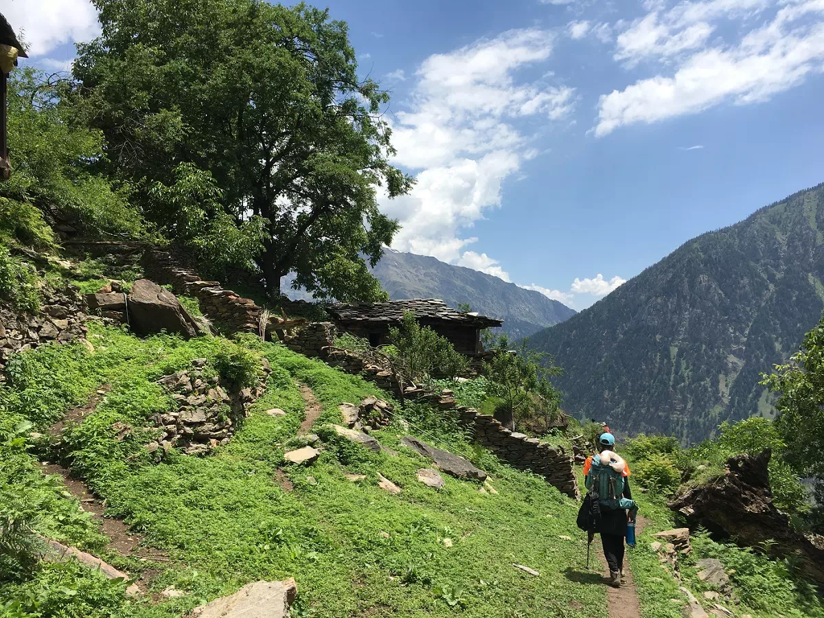
You get to witness Himachali wooden architecture as you pass through the village. The houses made of Deodar wood have artistic carvings and fascinating roofs. Within 15 minutes, you will leave the village behind.
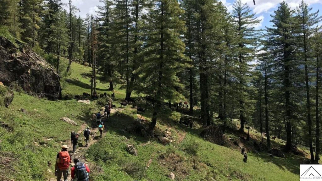
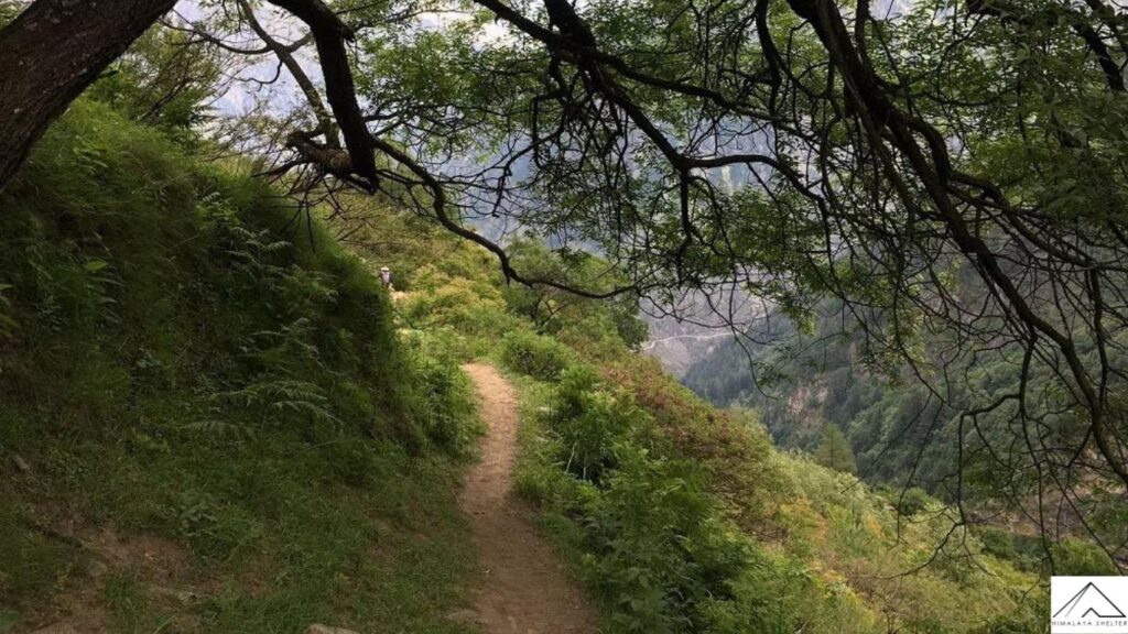
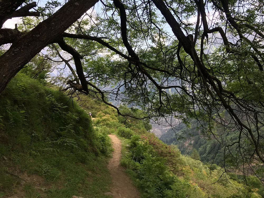
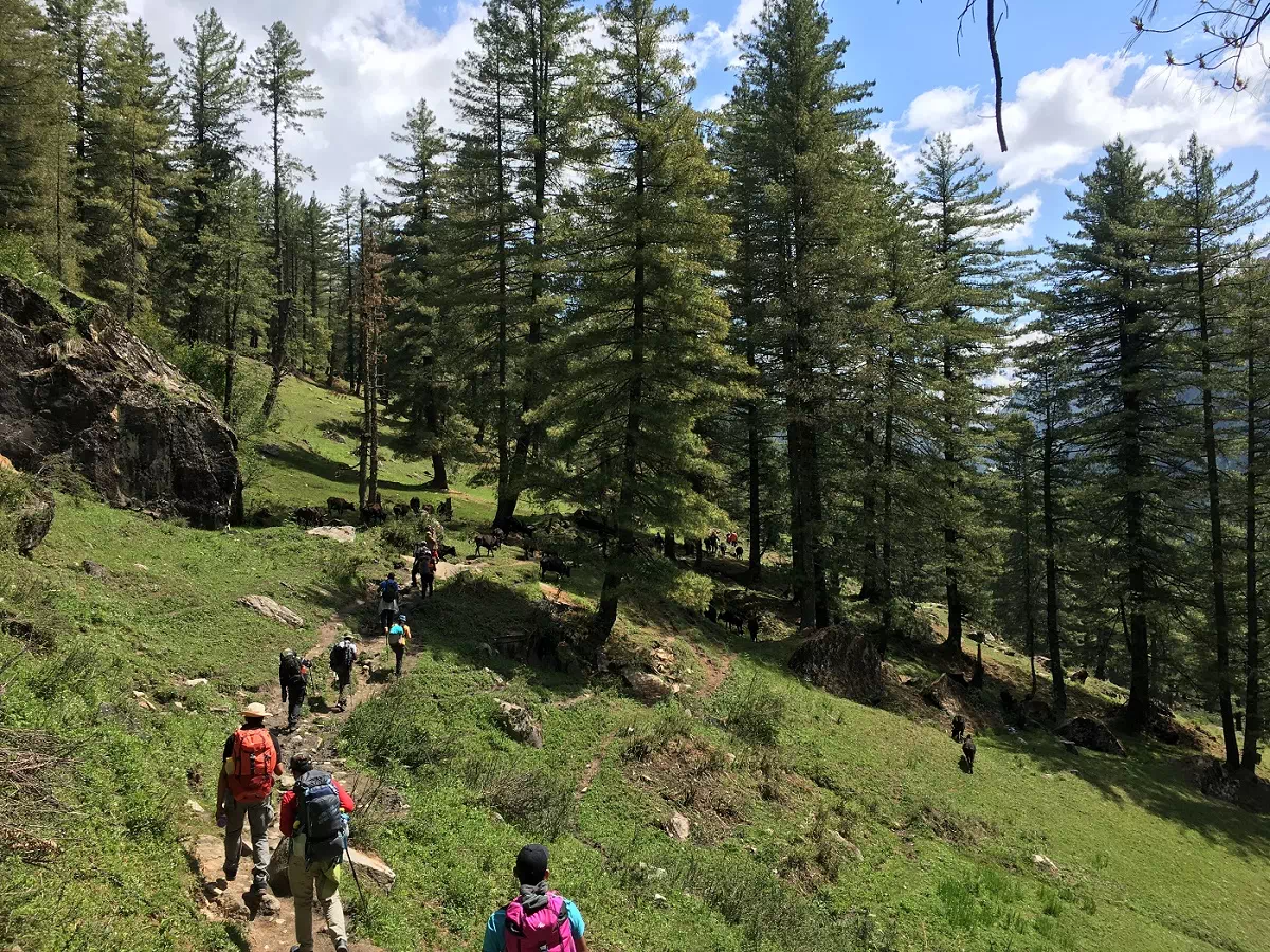
You will find yourself on a steep trail that leads to an oak and pine forest. The path with will become gradual as you go deeper into the woods.
The trees clear unexpectedly to reveal the massive expanse of Dayara. Your heart will be filled with delight on seeing a vast, undulating green meadow with thousands of yellow wildflowers.
The meadow has small hills on one side a gorge on the other. In the middle, you will see horses galloping with abandon among herds of sheep. Spend the evening with local Himalayan shepherds. They will speak to you humorously of a difficult but content life in the mountains.
We recommend waking up early to witness the sunrise too. The interplay of yellow rays and grey shadows over a large carpet of grass will leave you mesmerized. If you thought you had seen all that you possibly could of meadows, you are wrong. Today you will walk across meadow after meadow with forests interspersed between them. The first forest you will cross is again of pine, followed by silver birch i.e. bhoj. The bark of the bhoj tree was used as paper in ancient times.
The trail from Dayara to Litham is almost a gentle descent throughout with multiple streams along the way. You will see Guna Pass among the now visible snow-capped Dhauladhar range. Once you hop over the Chandranahan stream, you reach the Litham campsite. Litham too has a charm at par with Dayara. To your front are the cliffs that hide Buran Pass. On your left you can see the mouth of the Chandranahan waterfall. On your right is the Pabbar river, musically flowing before the mountain range that hides the Rupin valley.
You get to spend two days at this scenic campsite, since one day is an excursion to Chandranahan lake.
Today you visit Chandranahan lake – the source of the river you are camping by and drive along on your way to Janglik. The lake is considered sacred because as per mythology, the moon on Lord Shiva’s head took a dip in this lake. Hence the name.
You begin the day early to get back to Litham by lunch time. It will be a strenuous day because of a steep ascent and descent. But the landscape you witness is worth the effort.
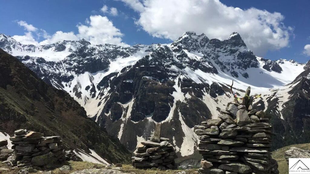
You cross the stream you hopped over on the way to Litham and make our way towards the waterfall. A shepherd’s trail will take you to ridge top. The waterfall’s snout is marked by charmingly set-up stone cairns. The lake is another hour’s walk on snow patches from here.
Chandrahan is a glacial lake perennially fed by snow. It remains frozen for most part of the year. Though the lake is small, it’s bowl-like setting between flanking mountains against a blue sky makes its size irrelevant.
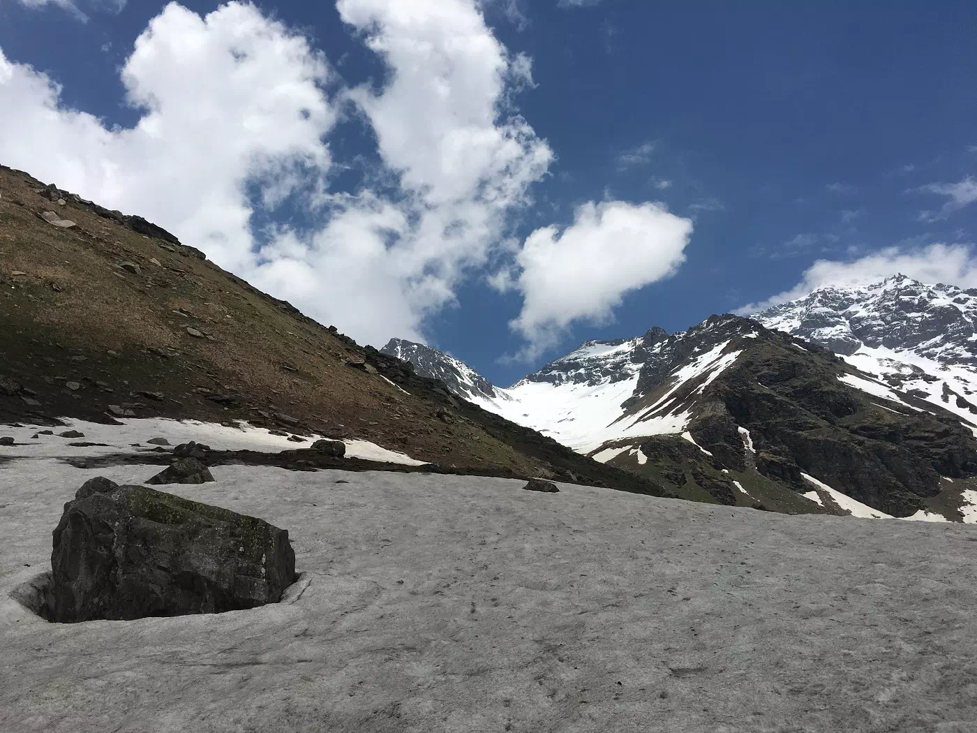
Litham is the last meadow on this trek. You now make your way to the alpine high-altitude campsite of Dhunda. The green grass will give way to grey rocks and patches of ice.
The Dhauladhar range continues accompanying you over a well-marked trail, as does the Pabbar. But the river is flowing much faster now. As you walk along its left bank, you reach a U-shaped gorge-like valley. Here, you finally see Buran Ghati for the first time on your left.
Dhunda at 13,300 feet is set against the feet of the Pass. Unlike your first colourful campsites, this one is surrounded completely by snow during summer. The altitude and the anticipation of the Pass crossing will fill you with excitement.
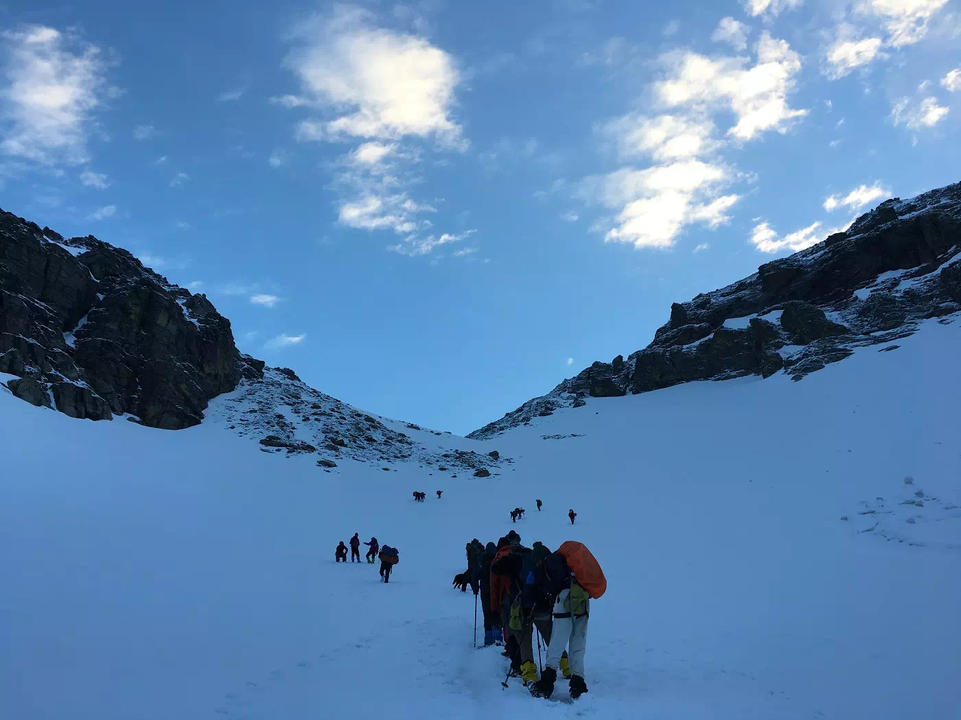
Today you will trek for almost 10 hours which will be both ascending and descending. In the absence of snow during autumn, the Pass is not difficult to time. In summer, you begin the climb to the Pass a little after midnight. This is because snow softens during the day, making it difficult to walk.
From the narrow ledge at the top of Buran Pass at 15,000 feet, you get a panoramic view of the Kinner-Kailash peaks. Snow-covered mountains at day-break among swirling mist is a sight that will remain with you for the rest of your life.
You will rappel down the first 100 metres of an almost vertical snow wall into the Kinnaur valley. After that, there are 4-5 patches of snow over which you can just slide down!
The descent from Buran Ghati is very quick, with you losing 3,000 feet of altitude in just 2 hours. Once out of the snow line, you will once again be greeted by flowers and shrubs.
The last day of the trek is a full descent. You will walk through receding trees that give way to diverse Himalayan vegetation. After an hour and a half, you will reach a bridge crossing over a large stream. Soon you will spot trees of apricot, pears and peaches.
An hour later, you will see apple orchards and civilization. You would have entered Barua village through an arch. You will smile at villagers going about their usual day of farming or tending to cattle. Some of them might strike up a conversation and invite you for a cup of tea.
From the heart of the village, the descent becomes even more rapid. Within half an hour you reach the road bridge over Barua Khud. We will arrange for your transport from Barua to Shimla. You will leave by 1pm and reach Shimla by around 10:30pm.
If you want to travel on your own, you can get a vehicle to Karcham junction which is 3km ahead. From this junction you can go either to Rekong Peo or Sangla. Sangla which is 17km away from Karcham is the largest village in the Baspa valley. In fact, Baspa Valley is also called Sangla valley. You could visit attractions close to Sangla like Kamru, Chansu, Basteri, Rakcham, Chitkul village and Ranikanda meadows. Or you can make your way back to Shimla, the most loved hill station in India with its colonial buildings, rhododendrons, oaks and firs.
 climb on burn ghati
 forest on the way summit
 Snow on the way buran ghati summit
 snow hill to reach the Buran Ghati Trek Pass
 snow hill to reach the Buran Ghati Trek
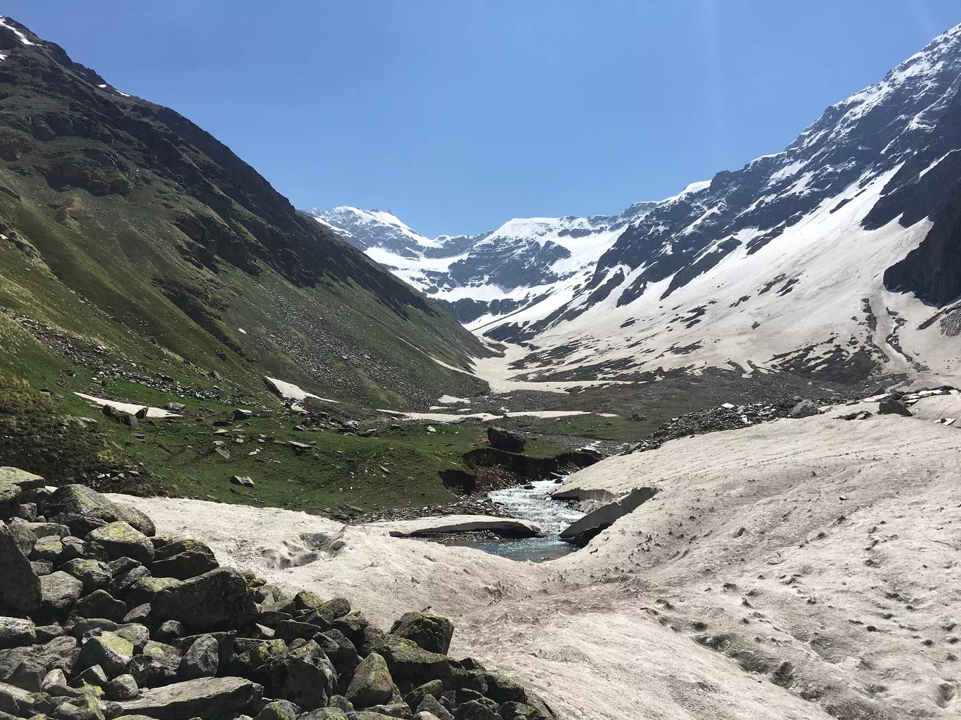 snow hill to reach the Buran Ghati Pass Trek
 Snow hill to reach the Buran Ghati Trek
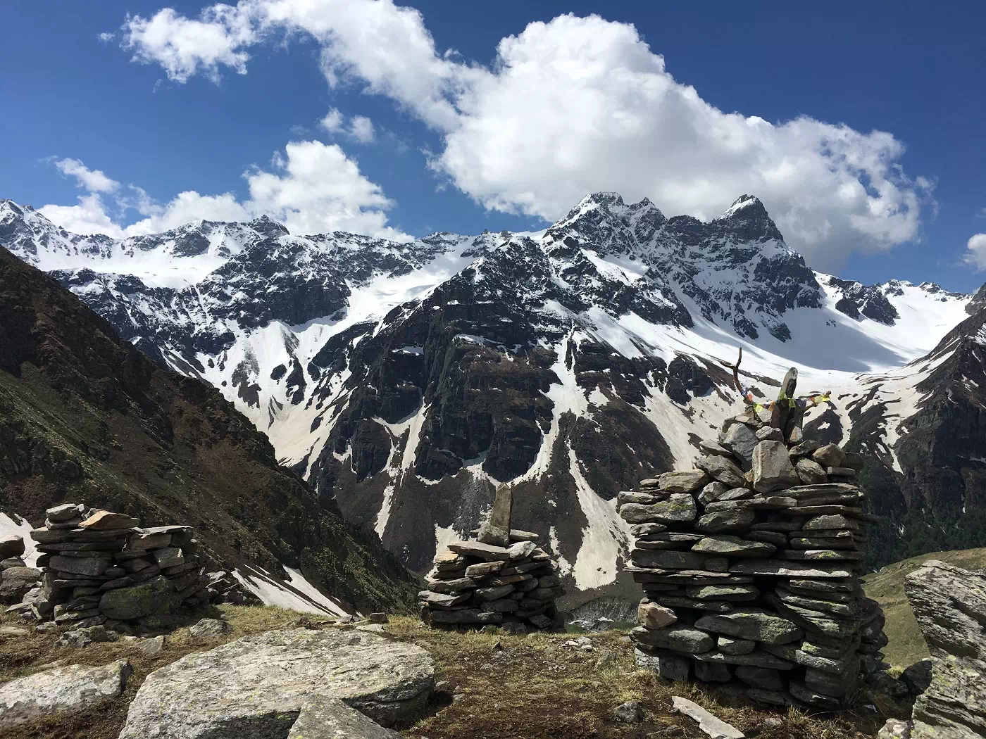 snow to trudge through, roll in, slide over, climb on and also rappel down
 Buran valley in fact runs parallel to the Rupin valley Campsite
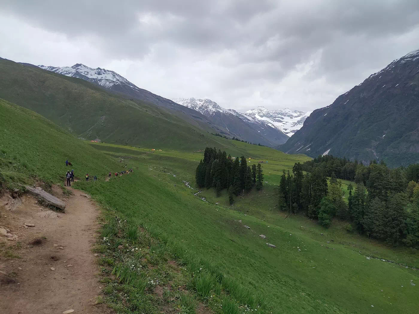 Buran valley in fact runs parallel to the Rupin valley.
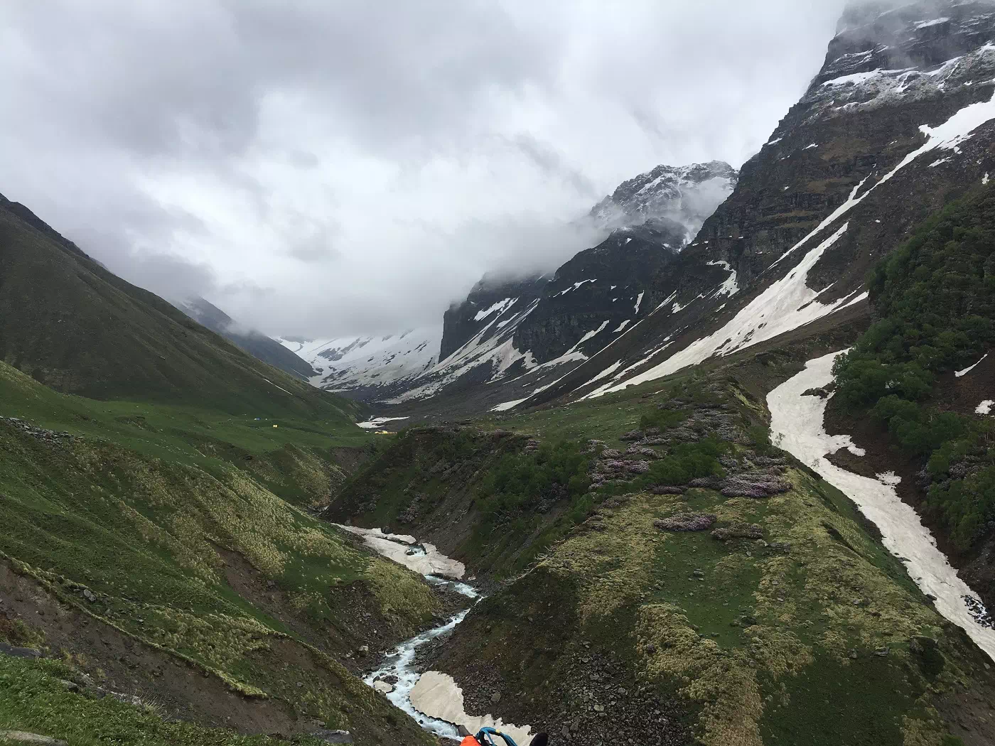 Buran valley in fact runs parallel to the Rupin valley
 Buran Ghati is recommended for people who have done at least one multi-day Himalayan trek


 Snow peak Mountains
 Camp in meadows one buran ghati trek
 Discussing own point of view on trek
 ridge on buran

 Our trekkers Picture click with team Himalayan shelter


The trek is located in the Shimla district of Himachal Pradesh, India. It starts from Janglik village and concludes in Barua village, covering diverse terrains and providing an enriching trekking experience.
The ideal time for the Buran Ghati Pass Trek is during the post-monsoon season, from late September to October. During this period, the weather is generally clear, and the landscapes are adorned with vibrant colors.
The Buran Ghati Pass Trek is considered a moderate to difficult trek. It involves steep ascents, descents, and traversing snow patches. Prior trekking experience and good physical fitness are recommended.
The trek covers a distance of approximately 45 to 50 kilometers, depending on the specific route chosen. Trekkers usually complete the trek in around 8 to 9 days.
Trekkers need to obtain permits from the forest department and other relevant authorities. These permits are essential for entering and trekking through certain regions along the trail.
Essential items include trekking gear, suitable clothing, a good-quality backpack, trekking boots, personal hygiene items, a first aid kit, and any specific gear