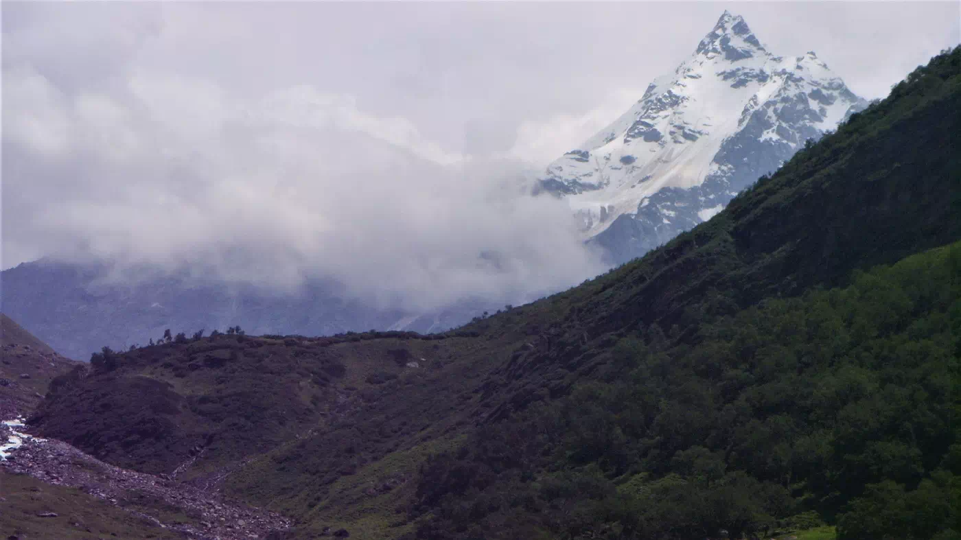
 The highest point in the trek is the Dev Kyara Bugyal (meadow) which is worshiped by the locals. This campsite is the highlight of the trek and it’s very rewarding to camp here an extra night. One can also cross the pass on the ridge on the left bank of Obra and enter into the beautiful Har Ki Dun valley. However, the trek will be longer in duration.
Drive: 190 km, 8-9 hrs
Altitude: 2,100 ft (640 m) – 6,725 ft (2,049 m)
Accommodation: Himalaya Shelter Guest House
Meals: Dinner
We start the journey early from Dehradun and drive initially to the famous hill station of Mussoorie. After just over 100 km, we pass close to the temple of Lakhamandal. According to locals, Duryodhana of the epic Mahabharata conspired to burn the Lakshagriha house of the Pandavas in this area. Damta, Purola, Mori and Netwar are some of the other villages on the route. We follow the river Yamuna Naugaon and accompanies us till Purola. Purola is the last big settlement on the route with a large market. So, it is recommended that the trekkers can buy anything they might have missed out by Purola itself. It also is the last village where most of the mobile networks work.
The drive after Purola is through a beautiful forest of pine trees. In some distance, on top of a hill we can see the Jawahar Navodaya Vidyalaya overlooking the valley. From near the village of Mori, the river Netwar. The fall in temperature can be felt from here. We officially enter Govind Pashu Vihar Wildlife Sanctuary after we cross a check post at Netwar. It can be considered the southern gateway to the sanctuary as most of the treks across the region are accessed from here onwards. The northern border of the sanctuary merges into Himachal Pradesh. Close to here, the rivers of Rupin and Supin merge to form Tons, which is the largest tributary of Yamuna and in fact larger than Yamuna itself, in terms of volume of flow. The peak of Kedarkantha can be seen from various points along the way from here.
We reach Sankri by early evening. It is a small village with a central market lined with a few shops. The village has numerous apple orchards which are harvested starting from late summer. The market area is new compared to the old village area, a part of which is known as ‘Saud’. The village also produces peach, apricots and potatoes. One can see the Swargarohini peak from here on a clear day. We rest at night in a guest house or in camps.
Trek: 5 km, 4 hrs
Altitude: 6,725 ft (2,049 m) – 7,644 ft (2,330 m)
Accommodation: Camping (Alpine Tents)
Meals: Breakfast + Lunch + Evening Snacks + Dinner
We Start the day early as we head towards the Obra Thatch campsite with the trek being rather easy on this day. We follow the river with pleasant views and resting spots along the way. Reaching the campsite well in the afternoon hours we have plenty of time post the camp setup to rest, or hike around the campsite. On a good summer day it can be pleasing to find a spot along the stream for a quick dip into the river, as long as the sun shines overhead.On reaching Sikolta, set your bags down and take an excursion to Juda ka Talab, a well-known lake among the trekking community.
Trek: 8 km, 6 hrs
Altitude: 7,644 ft (2,330 m) – 11,220 ft (3,420 ft)
Accommodation: Camping (Alpine Tents)
Meals: Breakfast + Lunch + Evening Snacks + Dinner
The second trekking day is going to be the longest trekking day with significant altitude gain during the journey. After the initial ascend through the dense pine forest the landscape gradually transcends into a magnificent open valley with unparalleled views of huge snow-capped mountain tops. The destination for the day is Bhawa Waterfall, cutting across a mountain face, that marks the campsite. Be sure to pick on the wild strawberries that you would come across today should you happen to undertake this trek in the summer months. The walkthrough islands of rhododendrons open to a meadow of plain green grass of Bhoj Gadi. Set against a backdrop of purple-grey-hued and snow-capped mountains, this is one of the most beautiful campsites on any Himalayan trail you will witness. Roam around the area, pose with a fascinating arrangement of stones and a log, or just sit and let serenity wash over you.
Trek: 5 km, 4 hrs
Altitude: 11,220 ft (3,420 ft) – 13,451 ft (4,100 m)
Accommodation: Camping (Alpine Tents)
Meals: Breakfast + Lunch + Evening Snacks + Dinner
This day is the highlight of the trek. About an hour from Bhoj Gadi, we descend to the iconic ridge – the Phulara Ridge. A ridge is a chain of mountains that form a continuous crest for some distance. Its narrow edges drop into valleys on either side. This grants you an unobstructed view of some of the most majestic Garhwal Himalayan mountain ranges – including Swargarohini and Bandarpoonch, in 3 directions. You would be awestruck, to say the least.
Once the ridge ends, you descend into the vast, undulating Pushtara bugyal i.e. Pushtara meadows. Post the exhilaration of the ridge walk, you feel a sense of liberation as you marvel at the expanse around you.
The day today can be really rewarding as we start heading up further into the valley & we care welcomed by the sight of one waterfall after another, all up to the campsite of Dev Kyara, which brings us significantly close to Mount Ranglana (5,554 meters). The last stretch of the trek is over boulders and rocks and can be a bit tiring. However the alpine flowers that are visible here are very refreshing. Once the valley opens up a bit, the views of the majestic Ranglana Peak are amazing towards the head of the valley. This is not a peak frequently attempted by mountaineers due to its technical challenges. We camp at Dev Lyara and can rest for a day to explore the valley or climb any nearby rocky outcrops.
Trek: 8 km, 4 hrs
Altitude: 13,451 ft (4,100 m) – 11,220 ft (3,420 ft)
Accommodation: Camping (Alpine Tents)
Meals: Breakfast + Lunch + Evening Snacks + Dinner
We can start the day today after our bags are packed, by proceeding further up the trail for a short day hike to explore the further reaches of the alpine meadows. After returning to the Dev Kyara campsite we can continue after taking our backpacks to the Bhawa Waterfall Campsite. It may sound a repeat journey but those who frequent the mountains know it is not really the same going uphill as it is downhill. The views will be different as we focus towards the descending valley into the far away forest trails with more panoramic views. We get to enjoy these even more as we are not struggling anymore with the altitude, as its a gradual descend. We get to rest again at the beautiful campsite.
Trek: 12 km, 6 hrs
Drive: 10 km, 45 min
Altitude: 11,220 ft (3,420 ft) – 6,725 ft (2,049 m)
Accommodation: Himalaya Shelter Guest House
Meals: Breakfast + Lunch + Evening Snacks + Dinner
Early in the morning, we leave the campsite and trek to Jakhol. The walk is downhill and hence takes less time than before. We walk alongside the River until we finally arrive at the place where we started the trekking Journey, from where a vehicle takes us back to Sankri. We retire for the day in camp alongside the river or in a guest house in Sankri.
Drive: 190 km, 7-8 hrs
Altitude: 6,725 ft (2,049 m) – 2,100 ft (640 m)
Meals: Breakfast
The trek to Dev Kyara concludes today as we leave Sankri and reach Dehradun by late afternoon.
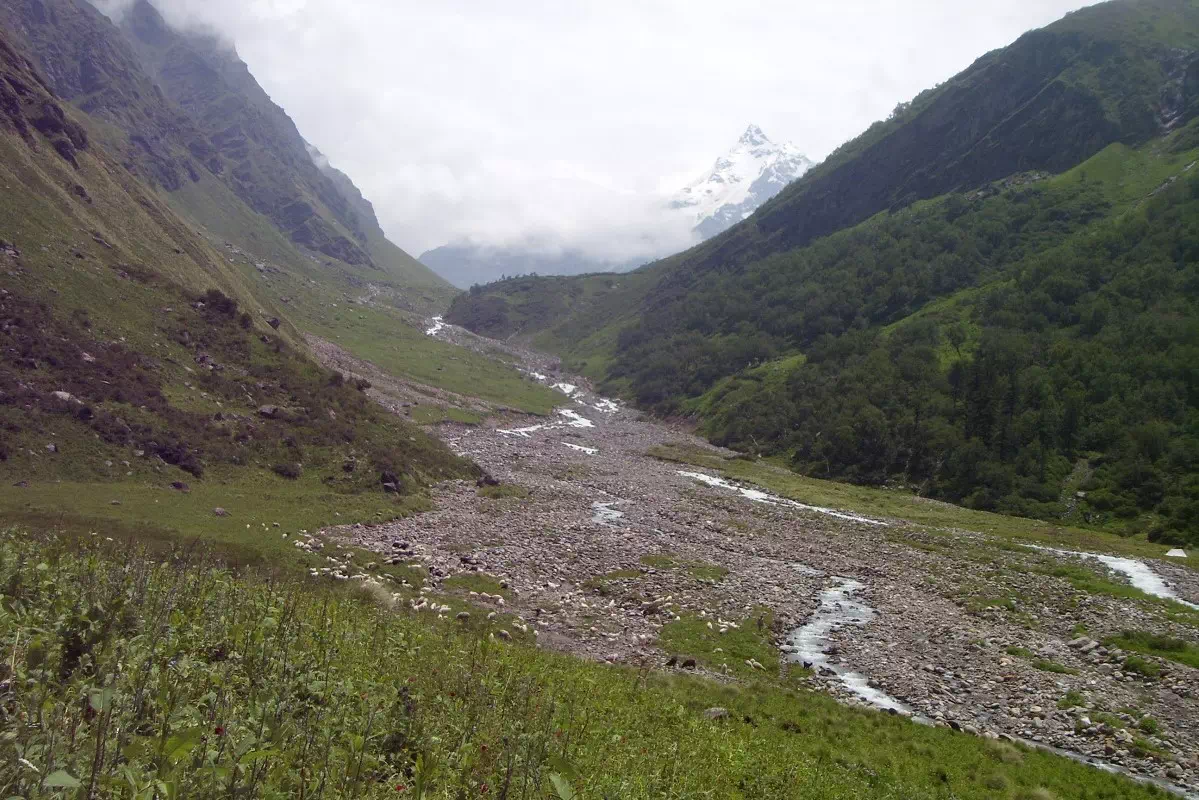
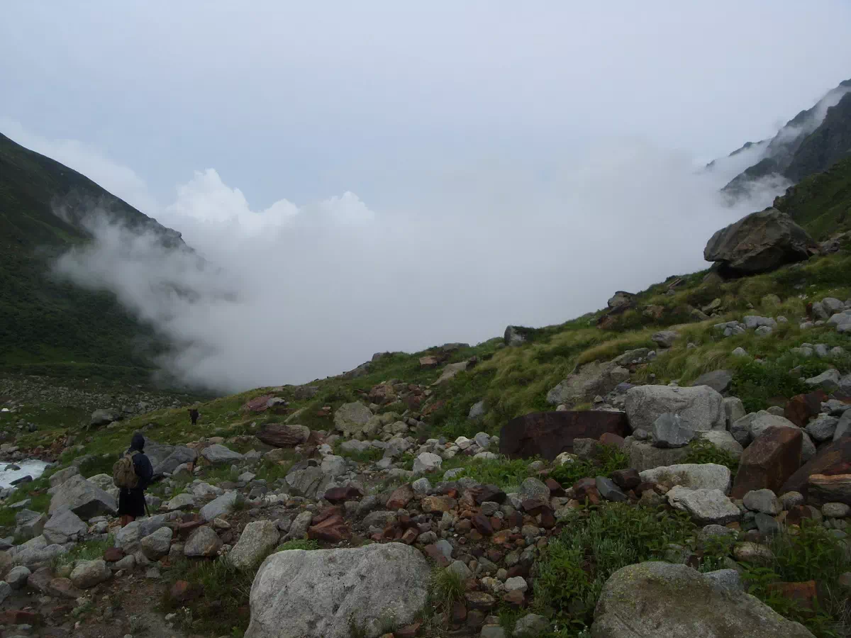 Walking through stonny terrains en route Dev Kyara Trek. You may encounter with some bouledes and moraines during the last section of the trek
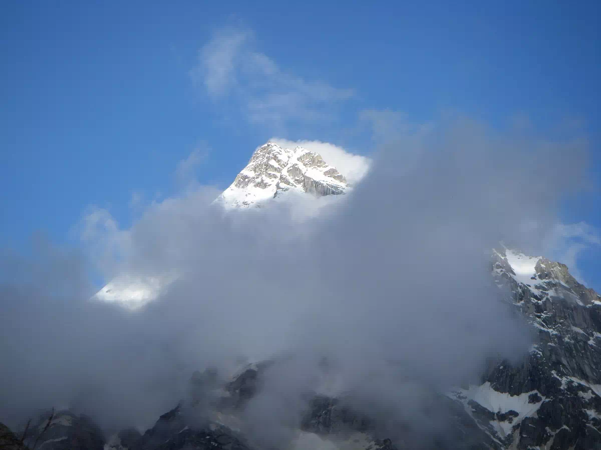
 Clouds Playing with Snow capped Mountains; Dev Kyara Trek
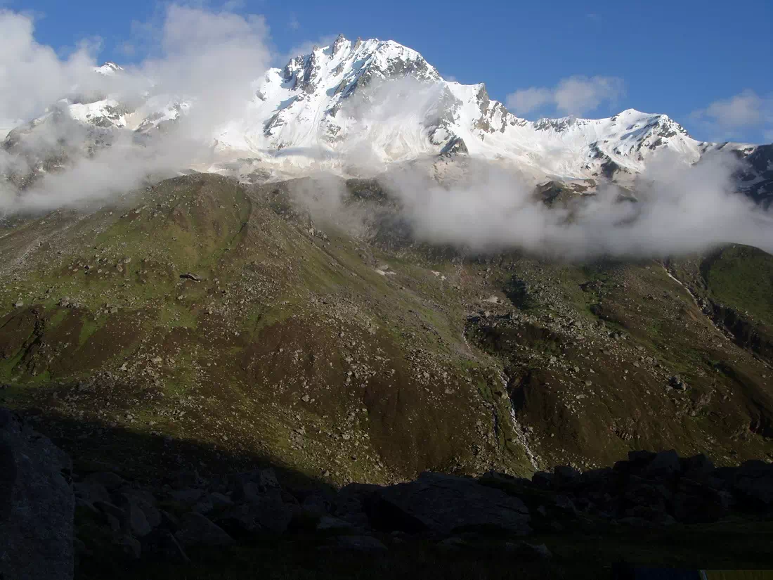 Autumn scenery; Clouds, Snow capped Himalayas and Clear Blue Skies; Dev Kyara Trek
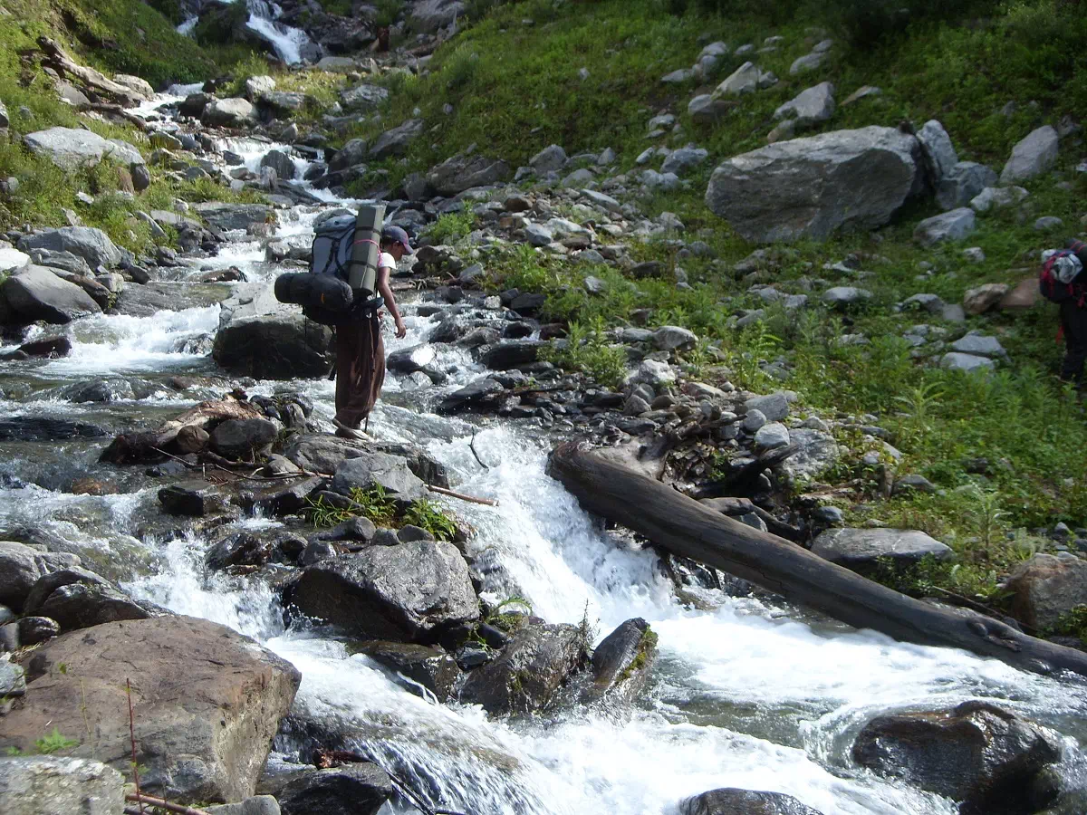 Crossing the river en route Dev Kyara Trek
 Autumn scenery; Clouds, Snow capped Himalayas and Clear Blue Skies; Dev Kyara Trek
 Beautiful view of the Supin river from the Bhawa Waterfall Camp; en route Dev Kyara Trek
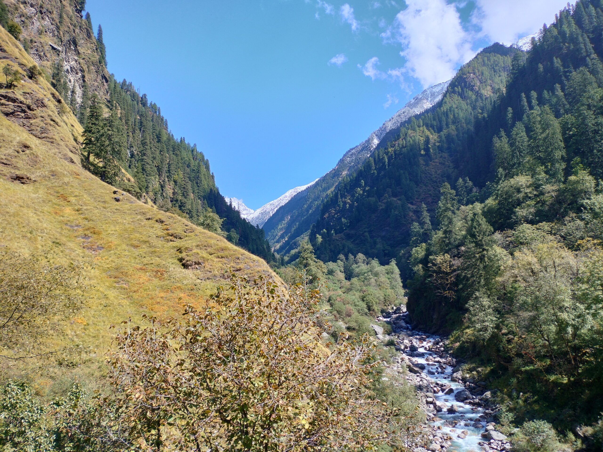 Descending to the Supin River and crossing it will be an adventurous experience
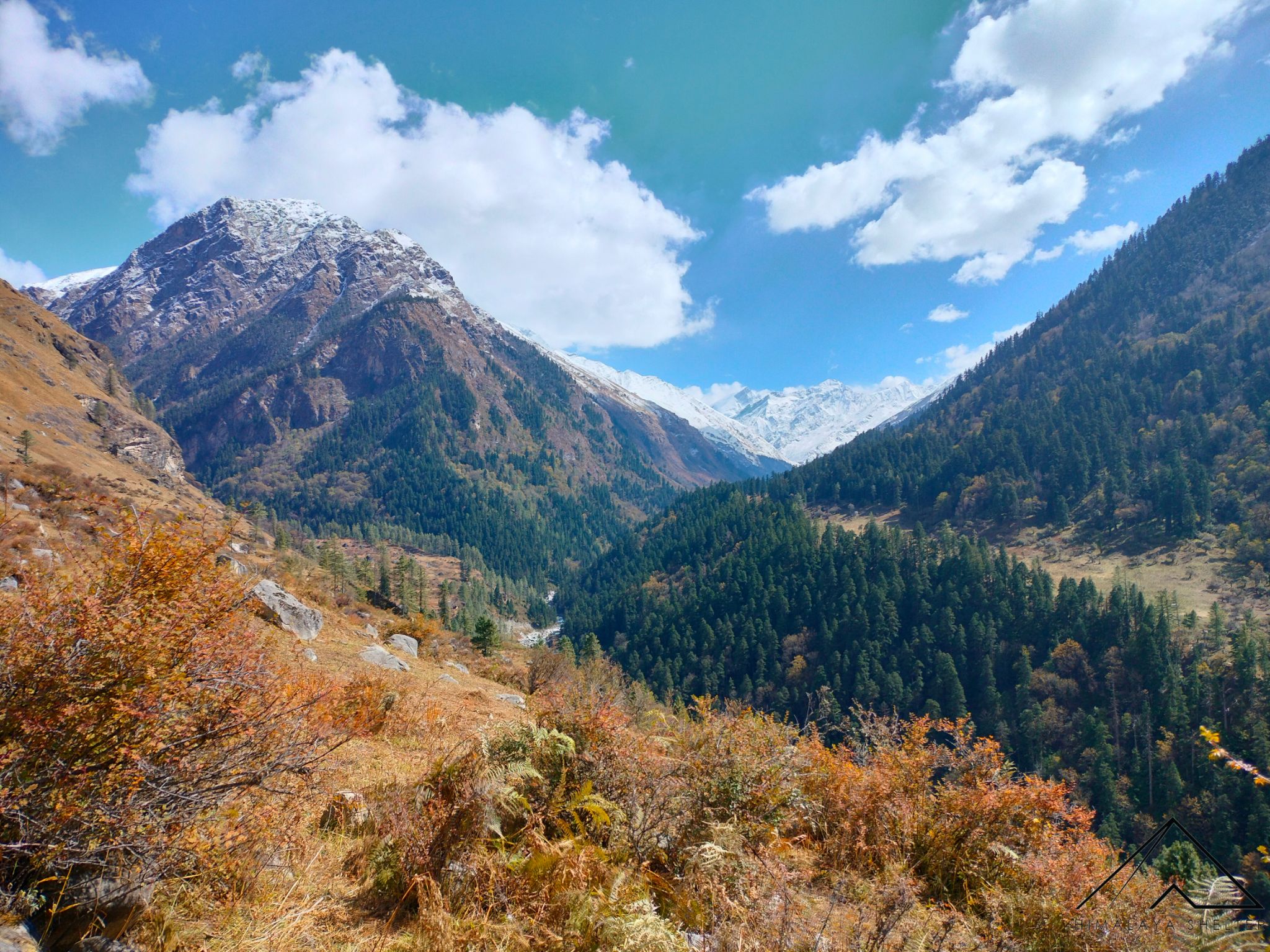 Spectacular Views of Himalayan Mountain Range; Lush Green forests and Snow capped Mountains
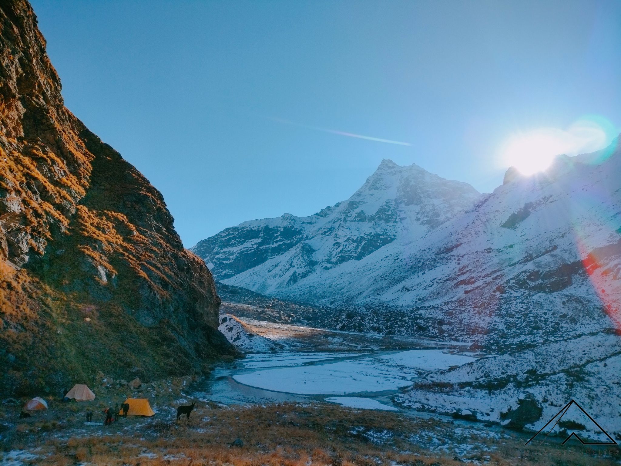 Mesmerising Campsite views from the Dev Kyara Trek; La
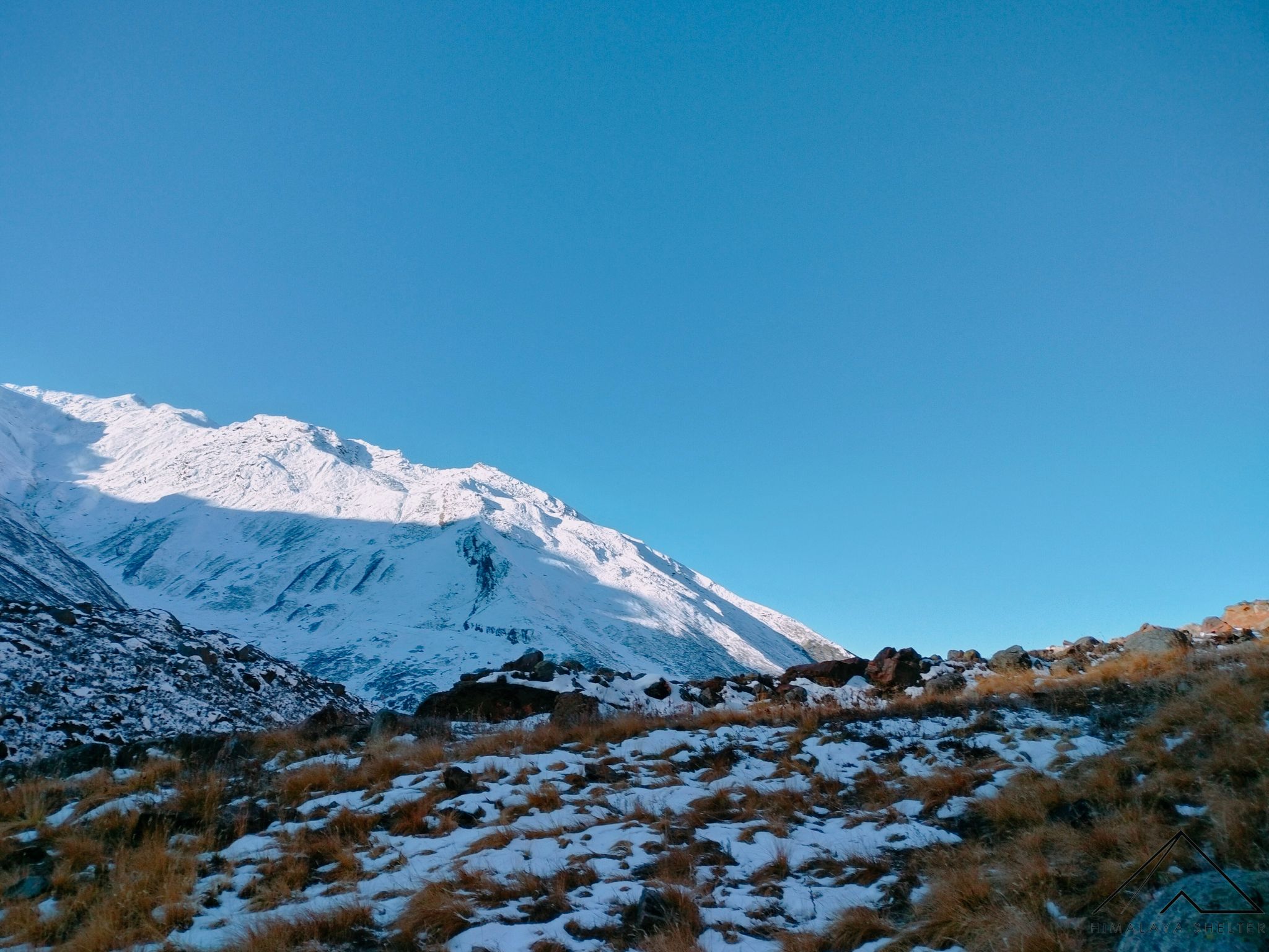 Trekking through the high altitude mountains and
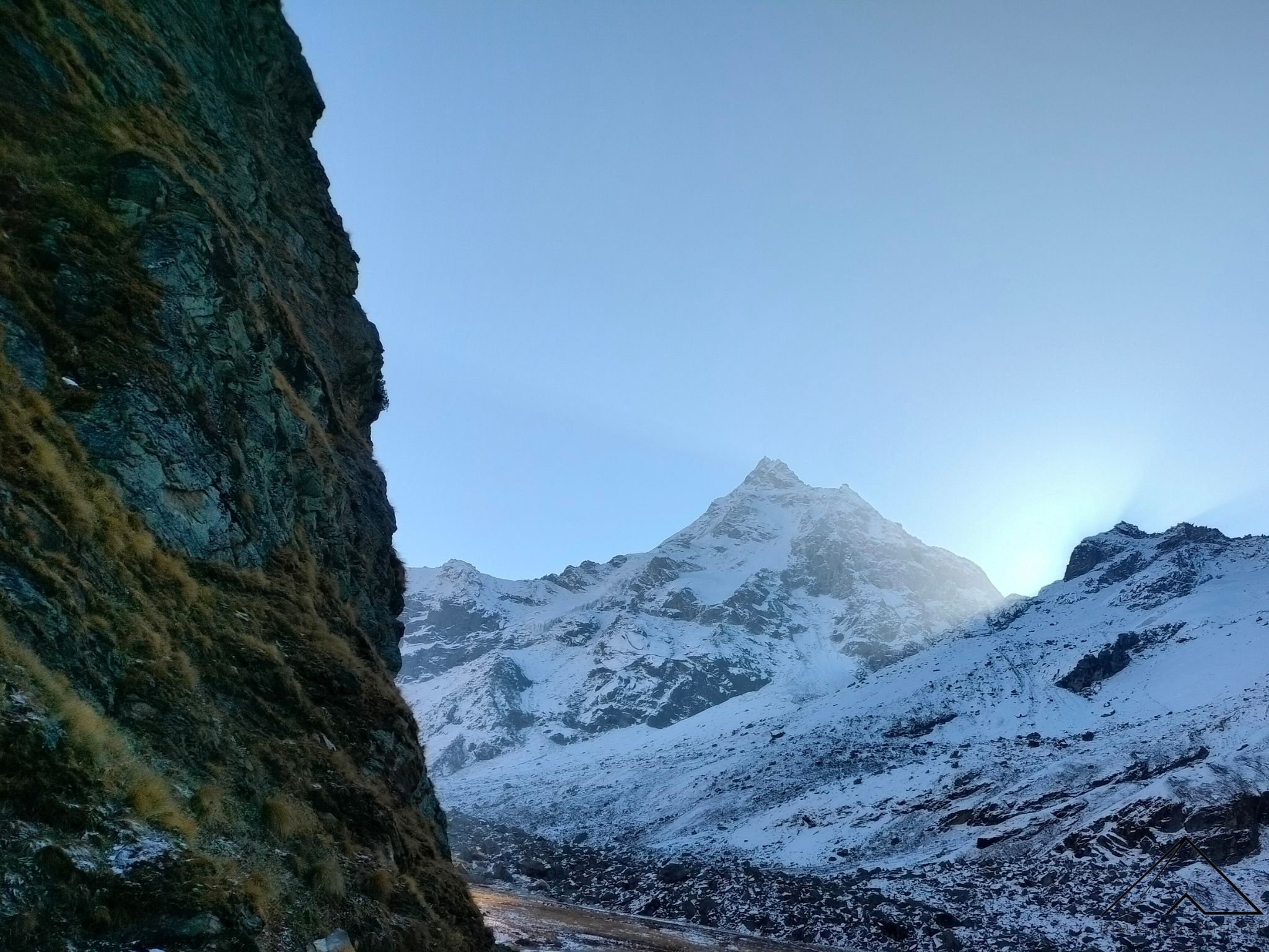 Spectacular Campsite views on the way to Dev Kyara Trek
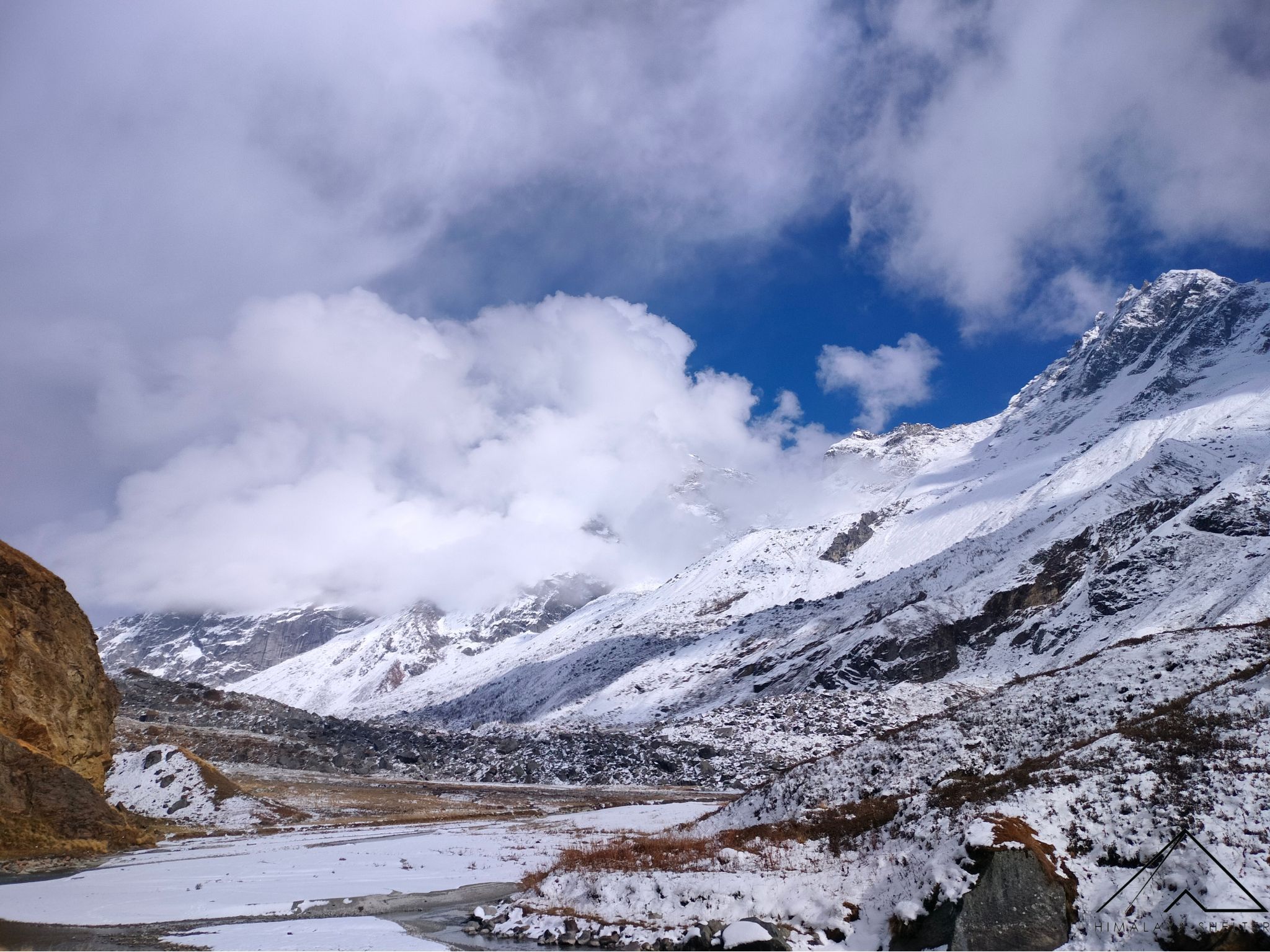 Amazing Himalayan Landscapes en route Dev Kyara Trek; In October this part of the trek offeres the sights of beautiful Autumn colors
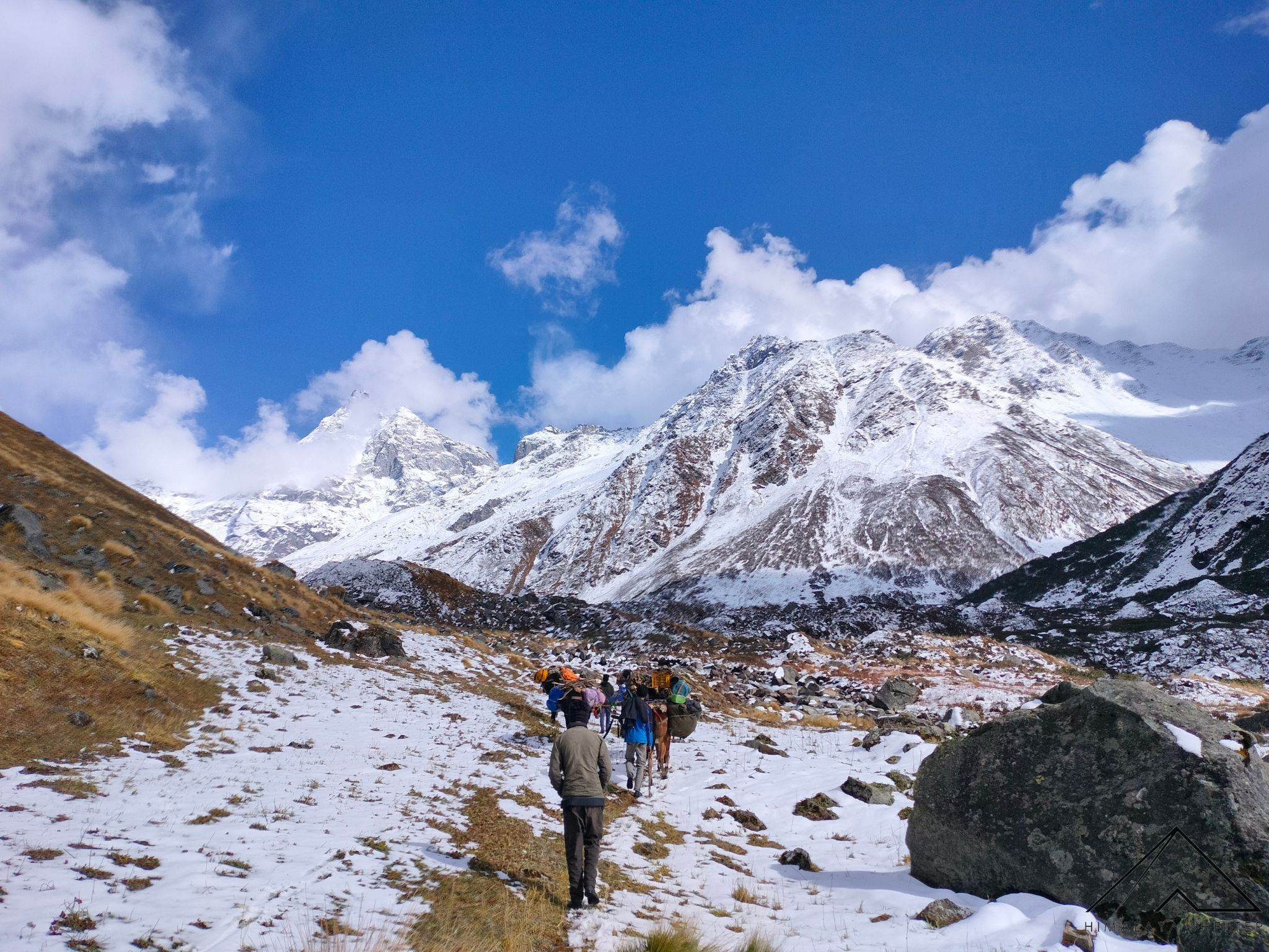 Beautiful Himalayan Landscapes en route Dev Kyara Trek
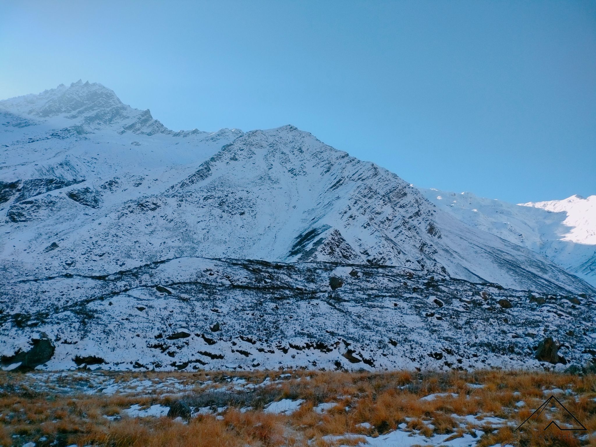 Snow capped Mountains en route Dev Kyara Trek
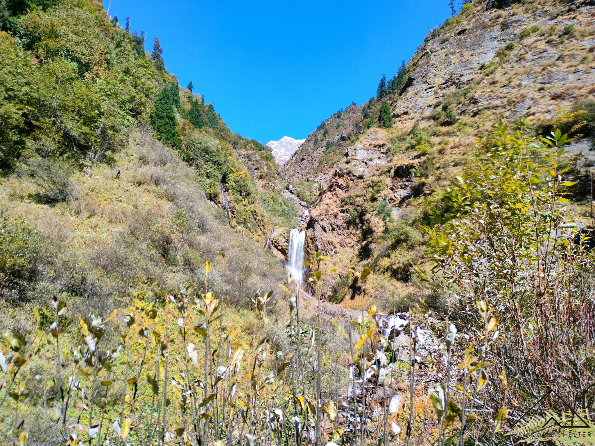 Beautiful Bhawa Water Fall en route Dev Kyara Trek
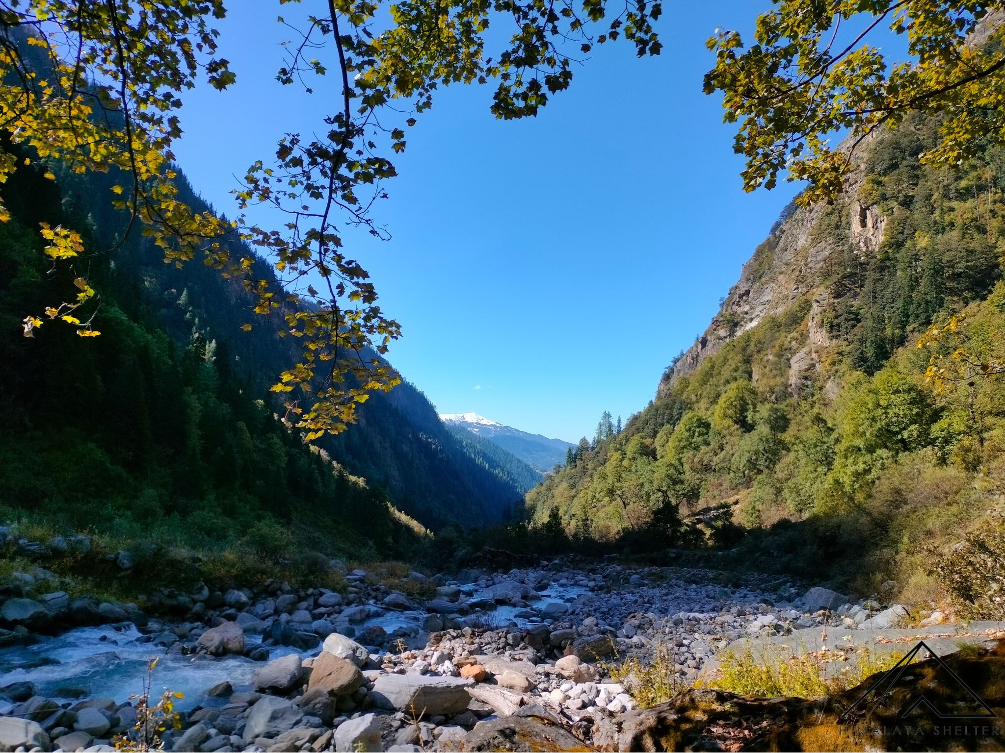 Walking besides the Supin River and enjoying the divine scenery of the Himalayas; Kedarkantha Peak is appearing at the back
“I have been doing treks with Himalaya Shelter for the last two years and they are awesome people with pure humbleness.“
Writes Priyesh.
We at Himalaya Shelter consider our trekkers part of our community, a family of sorts and really understand the efforts that you put into taking that much-needed break and setting off to the mountains. Some of you may wait for months and even a year to plan out that perfect excursion. That’s why we want it to be “a perfect excursion” for you.
Our testimonials (read below) are a testament to our service-oriented mindset.
We take safety into great consideration and ensure our team is trained to handle emergency situations.
For a better experience, we provide accommodation on Twin Sharing throughout the trek. With most trekking operators you would get triple or even quad sharing accommodation.
Our Accommodation will have attached washrooms
Furthermore, we provide the essential safety gear for your trek –
Without any additional charges.
We pamper you with great food which keeps you going on the trek. (On our google maps out of 300 reviews over 80 Trekkers mention great food😋)
We do not outsource services to ensure topmost quality throughout your journey. We use our own fleet of Vehicles to ferry you to the base camp and return.
Running or Jogging: Start with a comfortable distance and gradually increase your pace and distance over time. Aim for at least 3-4 days a week of cardio workouts.
Hiking Practice: If possible, try to find local trails or hills to practice hiking. Start with shorter hikes and gradually increase the difficulty.
Strength Training:
Flexibility and Mobility:
The minimum requirement to join our team, Trek Leaders should have done the Basic Mountaineer Course
Trek leaders in Himalaya Shelter have extensive experience in trekking and mountaineering. They are familiar with the specific terrain, weather conditions, and challenges of the region where the trek is taking place.
The Dev Kyara Trek is a popular trekking route located in the Gangotri region of the Garhwal Himalayas in Uttarakhand, India. It is known for its breathtaking views of the surrounding peaks and lush alpine meadows.
The Dev Kyara Trek is typically a 5-6 day trek, covering a distance of approximately 32-35 kilometers (20-22 miles) round trip.
The best time to undertake the Dev Kyara Trek is during the summer months, from May to June, and the post-monsoon season, from September to October. During these periods, the weather is generally more favorable for trekking.
While prior trekking experience is not mandatory, it is recommended that participants have a reasonable level of fitness and stamina. The terrain can be challenging at times, so being in good physical condition will enhance the trekking experience.
The highest point on the Dev Kyara Trek is Kyara Top, which is at an altitude of approximately 3,850 meters (12,631 feet) above sea level.
Yes, trekkers are required to obtain permits to enter the Gangotri National Park, which the trek passes through. These permits can be obtained from the forest department or the relevant authorities.
Accommodation during the Dev Kyara Trek is typically in tents.
Essential items to pack include warm clothing, trekking boots, rain gear, a good quality backpack, first aid kit, water bottles, and high-energy snacks. It’s important to pack light but ensure you have all the necessary equipment.
Mobile network connectivity is limited or non-existent along most of the Dev Kyara Trek. It’s advisable to inform your contacts about your itinerary before starting the trek.
The starting point of the Dev Kyara trek is Boincha which is a 3-hour drive from Sankri. Sankri is a small village in Uttarakhand which is the base camp for many Uttarakhand treks. It is 180 km from Dehradun. Indirect public buses and shared jeeps run between Dehradun and Sankri.